
| Distance / Altitude | Location | Report Date / Time | Live Weather | Wind | Gusts | Temp. | Visibility | Cloud |
|---|---|---|---|---|---|---|---|---|
| 101 km SE / 296 m | Providenciales Airport (Bahamas) | 2026-06-08 22:00 local (2026/06/09 02:00 GMT) | - | light winds from the ENE (7 km/h at 60) | 28°C | 10.0 | few | |
| 108 km SE / 1 m | Kingston wx (Turks and Caicos Islands) | 2026-06-08 23:46 local (2026/06/09 03:46 GMT) | dry | light winds from the ESE (13 km/h at 117) | 28°C | - | - - 0 | |
| 110 km ESE / 0 m | Sandy Point (Turks and Caicos Islands) | 2026-06-08 23:29 local (2026/06/09 03:29 GMT) | dry | calm (0 km/h at 224) | 26°C | - | - - 0 | |
| 243 km WNW / 5 m | Cockburn Town/San Salvador Airport (Bahamas) | 2026-06-08 22:00 local (2026/06/09 02:00 GMT) | - | light winds from the E (6 km/h at 80) | 26°C | 10.0 | ||
| 351 km S / 0 m | lightning 74km ESE of Guantanamo (Cuba) | 2026-06-08 22:18 local (2026/06/09 02:18 GMT) | Thunderstorm | (- km/h at -) | — | |||
| 359 km SSW / 203 m | Guantanamo Bay Airport (Cuba) | 2026-06-08 21:51 local (2026/06/09 01:51 GMT) | - | calm (0 km/h at 0) | 28°C | 16 | few few scattered | |
| 371 km SSE / 64 m | Mao (Dominican Republic) | 2026-06-08 23:06 local (2026/06/09 03:06 GMT) | dry | calm (0 km/h at 278) | 24°C | - | - - 0 | |
| 385 km SE / 466 m | Puerto Plata IN Airport (Dominican Republic) | 2026-06-08 22:00 local (2026/06/09 02:00 GMT) | Dry and partly cloudy | calm (0 km/h at 0) | 26°C | 10.0 | few broken | |
| 386 km SE / 96 m | Puerto Plata IN Airport (Dominican Republic) | 2026-06-08 23:00 local (2026/06/09 03:00 GMT) | Widespread dust in suspension not raised by wind | calm (0 km/h at 0) | 26°C | 30 km | - mostly cloudy - | |
| 387 km SW / 208 m | Holguin Airport (Cuba) | 2026-06-08 21:50 local (2026/06/09 01:50 GMT) | - | light winds from the SSE (7 km/h at 160) | 23°C | 8.0 | few |
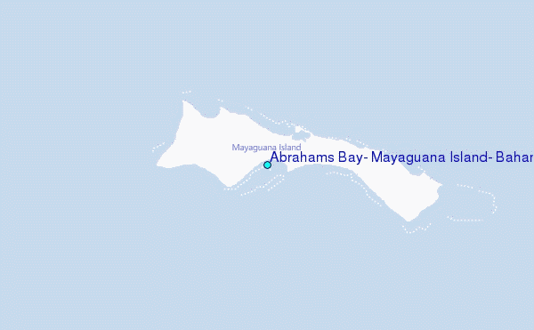
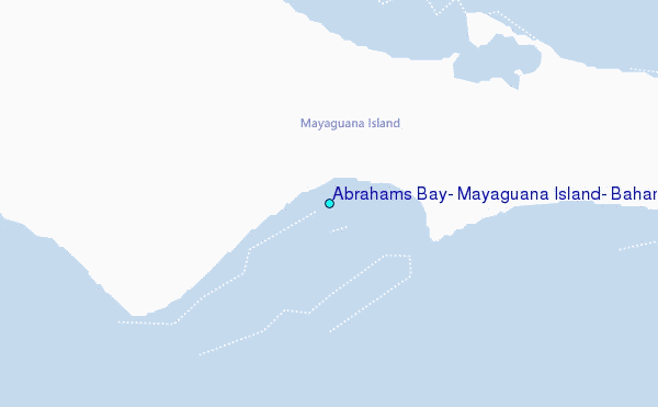
Choose Abrahams Bay, Mayaguana Island, Bahamas Location Map Zoom:
| Contours: | Roads & Rivers: | Select a
tide station / surf break / city |
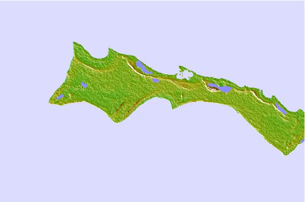
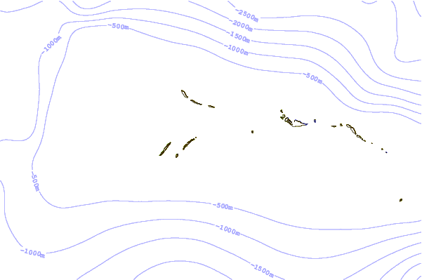
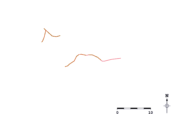
Use this relief map to navigate to tide stations, surf breaks and cities that are in the area of Abrahams Bay, Mayaguana Island, Bahamas.
Other Nearby Locations' tide tables and tide charts to Abrahams Bay, Mayaguana Island, Bahamas:
click location name for more details
 Surf breaks close to Abrahams Bay, Mayaguana Island, Bahamas:
|
||
|---|---|---|
| Closest surf break | Grace Bay Cut (Providenciales) | 64 mi |
| Second closest surf break | Fort George Cut (Pine Cay) | 65 mi |
| Third closest surf break | Pine Cay Shorebreak | 67 mi |
| Fourth closest surf break | Mudjin Harbour (Middle-Caicos) | 85 mi |
| Fifth closest surf break | Tea Break | 227 mi |


 Nearest
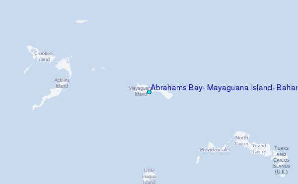