
| Distance / Altitude | Location | Report Date / Time | Live Weather | Wind | Gusts | Temp. | Visibility | Cloud |
|---|---|---|---|---|---|---|---|---|
| 135 km NNE / 1 m | GatesheadIsland-NU (Canada) | 2026-06-09 02:00 local (2026/06/09 06:00 GMT) | - | wind obs. (31 kph from 220 degs) was rejected (- km/h at -) | 2°C | - | no observation | |
| 165 km WSW / 11 m | CambridgeBayUa- NU (Canada) | 2026-06-09 02:00 local (2026/06/09 06:00 GMT) | - | moderate winds from the SE (20 km/h at 130) | 5°C | 44 km | - few - | |
| 168 km SW / 19 m | Cambridge Bay Gsn- NU (Canada) | 2026-06-09 02:00 local (2026/06/09 06:00 GMT) | no report | wind obs. (14 kph from 80 degs) was rejected (- km/h at -) | 3°C | - | - | |
| 168 km SW / 217 m | Cambridge Bay Airport (N.w. Territories) | 2026-06-09 02:00 local (2026/06/09 06:00 GMT) | - | moderate winds from the SE (22 km/h at 130) | 5°C | 24 | few | |
| 224 km ESE / 47 m | Gjoa Haven (Canada) | 2026-06-09 03:00 local (2026/06/09 07:00 GMT) | no report | wind obs. (11 kph from 350 degs) was rejected (- km/h at -) | -1°C | - | - - - | |
| 224 km ESE / 47 m | GjoaHavenA- NU (Canada) | 2026-06-09 02:00 local (2026/06/09 06:00 GMT) | no report | moderate winds from the SE (24 km/h at 140) | -1°C | 36 km | - no observation - | |
| 226 km ESE / 217 m | Gjoa Haven Airport (N.w. Territories) | 2026-06-09 02:00 local (2026/06/09 06:00 GMT) | Clear | moderate winds from the SSE (20 km/h at 150) | 3°C | 14 | ||
| 380 km NE / 10 m | Fort Ross- NU (Canada) | 2026-06-09 02:00 local (2026/06/09 06:00 GMT) | no report | wind obs. (18 kph from 320 degs) was rejected (- km/h at -) | 2°C | - | - - - | |
| 412 km SSW / 5 m | Bathurst Inlet- NU (Canada) | 2026-06-09 03:00 local (2026/06/09 07:00 GMT) | - | wind obs. (29 kph from 270 degs) was rejected (- km/h at -) | — | - | - | |
| 458 km E / 17 m | Kugaaruk Climate (Canada) | 2026-06-09 03:00 local (2026/06/09 07:00 GMT) | no report | wind obs. (7 kph from 10 degs) was rejected (- km/h at -) | 2°C | - | - no observation - |
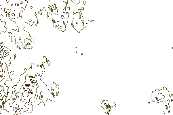
| Contours: | Roads & Rivers: | Select a
tide station / surf break / city |
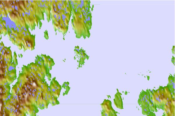
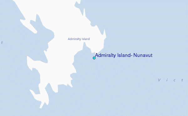
Use this relief map to navigate to tide stations, surf breaks and cities that are in the area of Admiralty Island, Nunavut.
Other Nearby Locations' tide tables and tide charts to Admiralty Island, Nunavut:
click location name for more details
 Surf breaks close to Admiralty Island, Nunavut:
|
||
|---|---|---|
| Closest surf break | Graveyards | 1311 mi |
| Second closest surf break | Cannon Beach | 1313 mi |
| Third closest surf break | Ocean Cape | 1313 mi |
| Fourth closest surf break | Tow Hill Beach | 1435 mi |
| Fifth closest surf break | Lepus Beach (Haida-Gwaii) | 1456 mi |


 Nearest
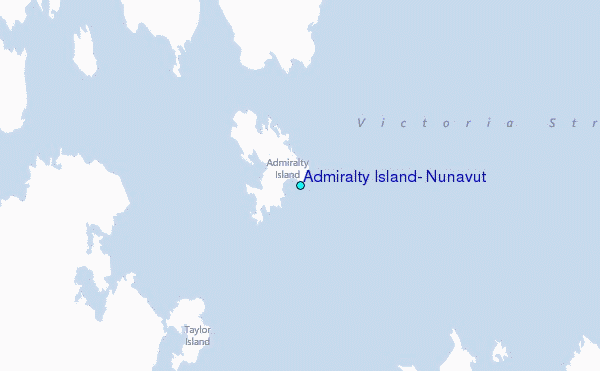