
| Distance / Altitude | Location | Report Date / Time | Live Weather | Wind | Gusts | Temp. | Visibility | Cloud |
|---|---|---|---|---|---|---|---|---|
| 171 km SSE / 139 m | Resolute (Canada) | 2024-04-25 11:00 local (2024/04/25 15:00 GMT) | - | light winds from the N (17 km/h at 0) | -17°C | - | no observation | |
| 171 km SSE / 216 m | Resolute Airport (N.w. Territories) | 2024-04-25 10:00 local (2024/04/25 14:00 GMT) | Light snow | light winds from the NW (17 km/h at 310) | -17°C | 40 | overcast | |
| 171 km SSE / 30 m | Resolute CS Airport (Nunavut) | 2024-04-25 10:00 local (2024/04/25 14:00 GMT) | no report | light winds from the NNW (15 km/h at 330) | -17°C | 0.0 | - - - | |
| 172 km SSE / 113 m | ResoluteUa-NU (Canada) | 2024-04-25 11:00 local (2024/04/25 15:00 GMT) | - | moderate winds from the N (20 km/h at 350) | -17°C | 40 km | overcast | |
| 233 km SW / 15 m | ReaPoint-NU (Canada) | 2024-04-25 11:00 local (2024/04/25 15:00 GMT) | - | strong winds from the NW (46 km/h at 310) | -21°C | - | no observation |
| Contours: | Roads & Rivers: | Select a
tide station / surf break / city |
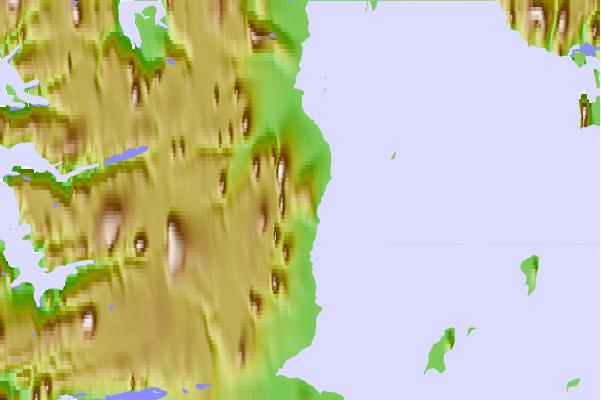
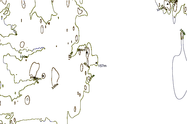
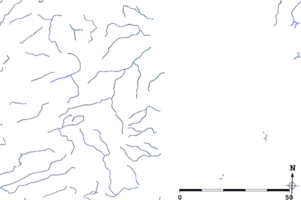
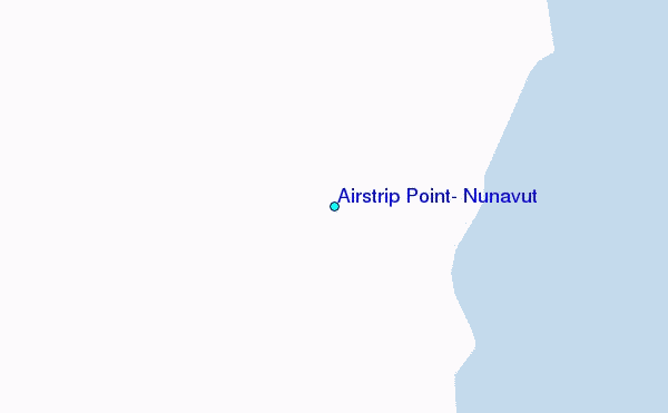
Use this relief map to navigate to tide stations, surf breaks and cities that are in the area of Airstrip Point, Nunavut.
Other Nearby Locations' tide tables and tide charts to Airstrip Point, Nunavut:
click location name for more details
 Surf breaks close to Airstrip Point, Nunavut:
|
||
|---|---|---|
| Closest surf break | Graveyards | 1524 mi |
| Second closest surf break | Ocean Cape | 1525 mi |
| Third closest surf break | Cannon Beach | 1526 mi |
| Fourth closest surf break | Bird Point (Tidal Bore) | 1639 mi |
| Fifth closest surf break | Tow Hill Beach | 1762 mi |

 Nearest
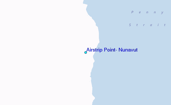