
| Distance / Altitude | Location | Report Date / Time | Live Weather | Wind | Gusts | Temp. | Visibility | Cloud |
|---|---|---|---|---|---|---|---|---|
| 40 km S / 6 m | Enfidha (Tunisia) | 2024-04-20 04:00 local (2024/04/20 03:00 GMT) | - | light winds from the WNW (9 km/h at 290) | 10°C | 30 km | no observation | |
| 40 km S / 2 m | Enfidha–Hammamet International Airport (Tunisia) | 2024-04-20 04:30 local (2024/04/20 03:30 GMT) | - | light winds from the W (9 km/h at 260) | — | 0.0 | ||
| 58 km WNW / 217 m | Tunis/Carthage Airport (Tunisia) | 2024-04-20 04:30 local (2024/04/20 03:30 GMT) | - | light winds from the WSW (13 km/h at 240) | 11°C | 10.0 | few | |
| 59 km WNW / 240 m | Tunis/Carthage Airport (Tunisia) | 2024-04-20 04:00 local (2024/04/20 03:00 GMT) | - | light winds from the SW (9 km/h at 230) | 11°C | 30 km | - clear - | |
| 64 km NE / 172 m | Kelibia Airport (Tunisia) | 2024-04-20 04:00 local (2024/04/20 03:00 GMT) | Dry and partly cloudy | light winds from the WSW.(Wind varies from 190 to 280 degs) (7 km/h at 240) | 12°C | 10.0 | scattered scattered - |
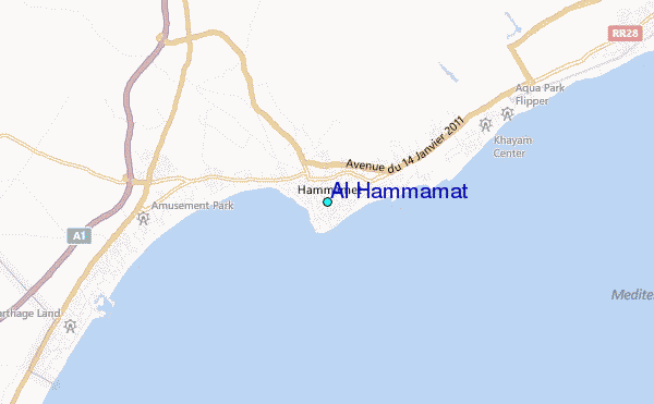
| Contours: | Roads & Rivers: | Select a
tide station / surf break / city |
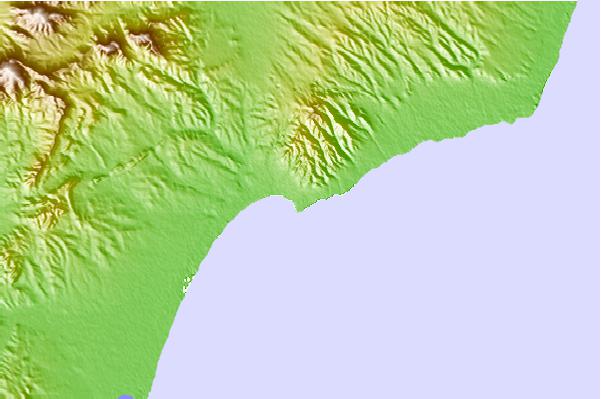
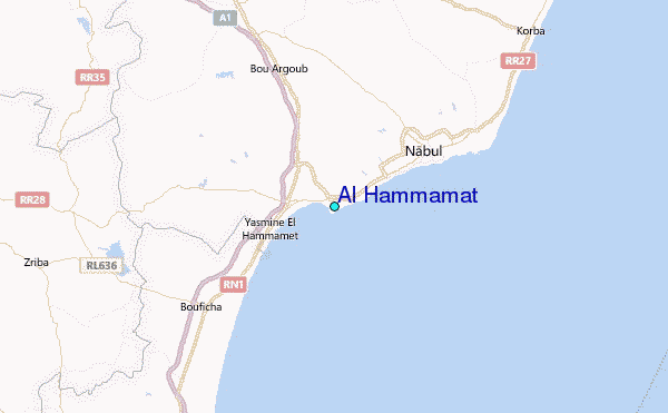
Use this relief map to navigate to tide stations, surf breaks and cities that are in the area of Al Hammamat.
Other Nearby Locations' tide tables and tide charts to Al Hammamat:
click location name for more details
 Surf breaks close to Al Hammamat:
|
||
|---|---|---|
| Closest surf break | Hamamet ( Le Port) | 4 mi |
| Second closest surf break | Carthage Neptune | 35 mi |
| Third closest surf break | La Marsa (La Coupole) Tunis | 38 mi |
| Fourth closest surf break | Sousse Beach Sousse | 39 mi |
| Fifth closest surf break | Kelibya | 41 mi |

 Nearest