
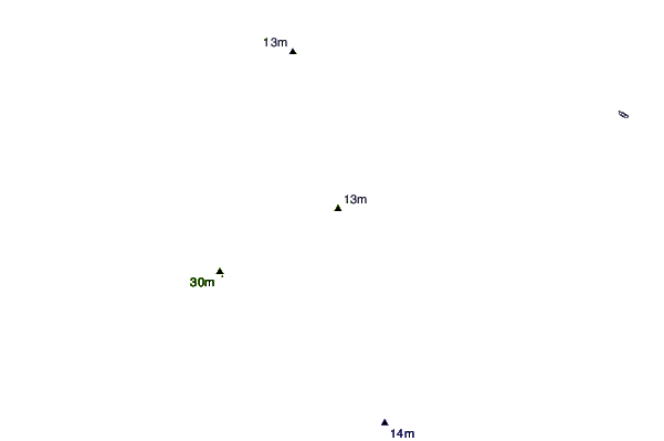
| Distance / Altitude | Location | Report Date / Time | Live Weather | Wind | Gusts | Temp. | Visibility | Cloud |
|---|---|---|---|---|---|---|---|---|
| 22 km ENE / 6 m | PortSaidELGamil (Egypt) | 2024-04-23 23:00 local (2024/04/23 21:00 GMT) | - | moderate winds from the E (26 km/h at 90) | 23°C | 30 km | - clear - | |
| 26 km ENE / 214 m | Port Said Airport (Egypt) | 2024-04-23 23:00 local (2024/04/23 21:00 GMT) | - | moderate winds from the E (26 km/h at 90) | — | 0.0 | ||
| 68 km SSE / 108 m | Ismailia Air Base (Egypt) | 2024-04-23 23:00 local (2024/04/23 21:00 GMT) | no report | moderate winds from the NE (22 km/h at 50) | 32°C | 10 | - | |
| 97 km W / 188 m | Baltim (Egypt) | 2024-04-23 23:00 local (2024/04/23 21:00 GMT) | no report | light winds from the S (6 km/h at 180) | 26°C | 10 | - | |
| 133 km S / 74 m | Cairo (Egypt) | 2024-04-23 23:00 local (2024/04/23 21:00 GMT) | - | light winds from the E (19 km/h at 80) | 28°C | 30 km | clear |
| Contours: | Roads & Rivers: | Select a
tide station / surf break / city |
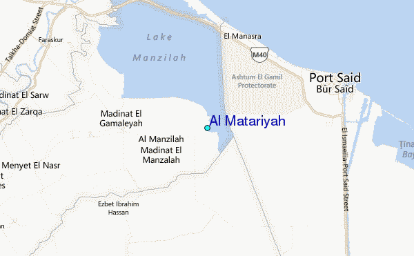
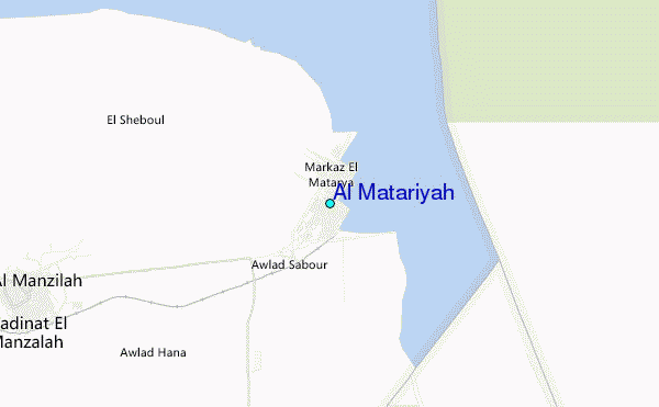
Use this relief map to navigate to tide stations, surf breaks and cities that are in the area of Al Matariyah.
Other Nearby Locations' tide tables and tide charts to Al Matariyah:
click location name for more details
 Surf breaks close to Al Matariyah:
|
||
|---|---|---|
| Closest surf break | Mandara | 120 mi |
| Second closest surf break | El Corniche | 121 mi |
| Third closest surf break | Ramadas | 122 mi |
| Fourth closest surf break | Shatby | 125 mi |
| Fifth closest surf break | Agami | 133 mi |

 Nearest
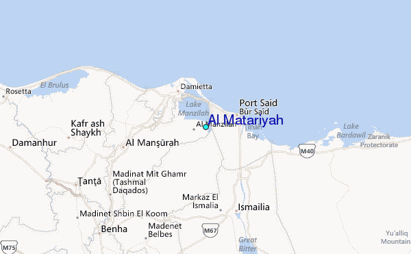