
| Distance / Altitude | Location | Report Date / Time | Live Weather | Wind | Gusts | Temp. | Visibility | Cloud |
|---|---|---|---|---|---|---|---|---|
| 1 km E / 30 m | Algeciras Heliport Airport (Spain) | 2024-04-19 01:30 local (2024/04/18 23:30 GMT) | - | light winds from the NE (9 km/h at 40) | — | 0.0 | ||
| 9 km ENE / 0 m | Gibraltar (8495 -1) (Gibraltar) | 2024-04-19 02:00 local (2024/04/19 00:00 GMT) | no report | light winds from the E (19 km/h at 80) | 18°C | 37 km | - few - | |
| 11 km E / 217 m | Gibraltar Airport (Gibraltar) | 2024-04-19 01:20 local (2024/04/18 23:20 GMT) | Dry and partly cloudy | light winds from the E (15 km/h at 80) | 18°C | 10.0 | no cloud | |
| 14 km ESE / 3 m | SHIP134 (Marine) | 2024-04-19 00:00 local (2024/04/18 22:00 GMT) | - (- km/h at -) | 17°C | - | |||
| 56 km E / 15 m | ASCATB355E36N (Marine) | 2024-04-18 23:56 local (2024/04/18 21:56 GMT) | light winds from the ENE (18 km/h at 71) | — | - km |

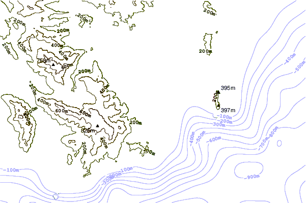
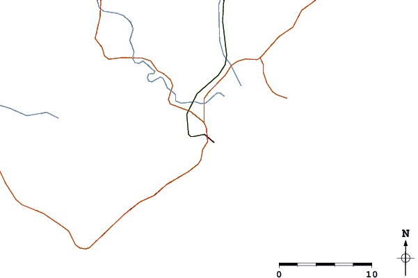
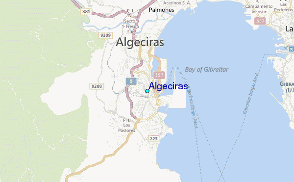
| Contours: | Roads & Rivers: | Select a
tide station / surf break / city |
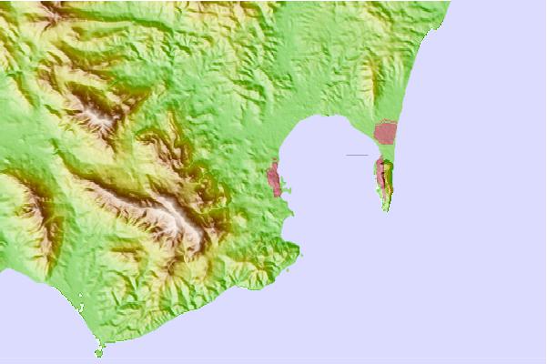
Use this relief map to navigate to tide stations, surf breaks and cities that are in the area of Algeciras.
Other Nearby Locations' tide tables and tide charts to Algeciras:
click location name for more details
 Surf breaks close to Algeciras:
|
||
|---|---|---|
| Closest surf break | Getares | 2 mi |
| Second closest surf break | Los Lances | 12 mi |
| Third closest surf break | El Balneario | 12 mi |
| Fourth closest surf break | Zahara de los Atunes | 22 mi |
| Fifth closest surf break | Bolonia | 24 mi |

 Nearest
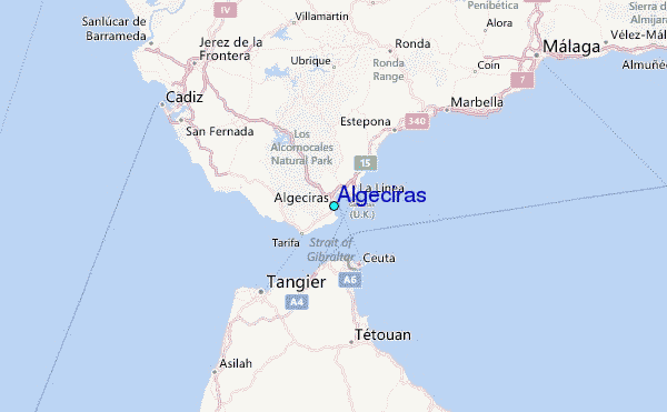