
| Distance / Altitude | Location | Report Date / Time | Live Weather | Wind | Gusts | Temp. | Visibility | Cloud |
|---|---|---|---|---|---|---|---|---|
| 2 km SSE / 176 m | Kepala Air wx (Indonesia) | 2024-04-19 01:19 local (2024/04/18 16:19 GMT) | - | calm (0 km/h at 0) | 32°C | - | - - 0 | |
| 4 km NNE / 1 m | Poka wx (Indonesia) | 2024-04-19 00:01 local (2024/04/18 15:01 GMT) | - | calm (0 km/h at 0) | 31°C | - | - - 0 | |
| 10 km ESE / 1 m | Leahari wx (Indonesia) | 2024-04-19 01:05 local (2024/04/18 16:05 GMT) | - | - (- km/h at ) | 28°C | - | - - 0 | |
| 11 km SW / 12 m | AmbonPattimura (Indonesia) | 2024-04-19 00:00 local (2024/04/18 15:00 GMT) | - | calm (4 km/h at 260) | 26°C | 30 km | scattered | |
| 13 km WSW / 12 m | Ambon-Pattimura (Indonesia) | 2024-04-19 00:30 local (2024/04/18 15:30 GMT) | - | calm (2 km/h at 1) | 26°C | 10.0 | few |
| Contours: | Roads & Rivers: | Select a
tide station / surf break / city |
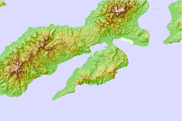
Use this relief map to navigate to tide stations, surf breaks and cities that are in the area of Ambon, Indonesia.
Other Nearby Locations' tide tables and tide charts to Ambon, Indonesia:
click location name for more details
 Surf breaks close to Ambon, Indonesia:
|
||
|---|---|---|
| Closest surf break | Digger | 440 mi |
| Second closest surf break | Nembrala | 521 mi |
| Third closest surf break | Do'o | 618 mi |
| Fourth closest surf break | Boa | 620 mi |
| Fifth closest surf break | T-Land | 620 mi |

 Nearest