
| Distance / Altitude | Location | Report Date / Time | Live Weather | Wind | Gusts | Temp. | Visibility | Cloud |
|---|---|---|---|---|---|---|---|---|
| 21 km N / 194 m | Iles de la madel Airport (Quebec) | 2026-06-09 02:00 local (2026/06/09 05:00 GMT) | - | moderate winds from the SW (28 km/h at 230) | 10°C | 0.0 | ||
| 22 km NNE / 8 m | Iles DE LA Madeleine- Que (Canada) | 2026-06-09 03:00 local (2026/06/09 06:00 GMT) | - | fresh winds from the WSW (32 km/h at 250) | — | - | - - - | |
| 87 km S / 8 m | East Point (Aut)- Pei (Canada) | 2026-06-09 03:00 local (2026/06/09 06:00 GMT) | no report | light winds from the SSW (19 km/h at 200) | 8°C | - | - no observation - | |
| 88 km S / 217 m | East Point Airport (Prince Edward Islan) | 2026-06-09 02:00 local (2026/06/09 05:00 GMT) | - | light winds from the SSW (19 km/h at 200) | 8°C | 0.0 | ||
| 89 km SE / 303 m | Pleasant Bay wx (Canada) | 2026-06-09 03:03 local (2026/06/09 06:03 GMT) | dry | light winds from the WSW (19 km/h at 243) | 8°C | - | - - 0 | |
| 90 km ESE / 42 m | Pleasant Bay (Canada) | 2026-06-09 03:25 local (2026/06/09 06:25 GMT) | dry | wind obs. (6 kph from 134 degs) was rejected (- km/h at -) | 7°C | - | - - 0 | |
| 91 km SE / 11 m | Cheticamp (Canada) | 2026-06-09 03:06 local (2026/06/09 06:06 GMT) | dry | light winds from the SSE (6 km/h at 166) | 5°C | - | - - 0 | |
| 92 km SE / 8 m | La Pointe wx (Canada) | 2026-06-09 03:19 local (2026/06/09 06:19 GMT) | dry | calm (5 km/h at 230) | 5°C | - | - - 0 | |
| 94 km SE / 14 m | La Prairie wx (Canada) | 2026-06-09 03:27 local (2026/06/09 06:27 GMT) | dry | calm (0 km/h at 0) | 4°C | - | - - 0 | |
| 95 km SE / 47 m | Plateau (Canada) | 2026-06-09 03:49 local (2026/06/09 06:49 GMT) | dry | light winds from the SW (10 km/h at 233) | 9°C | - | - - 0 |
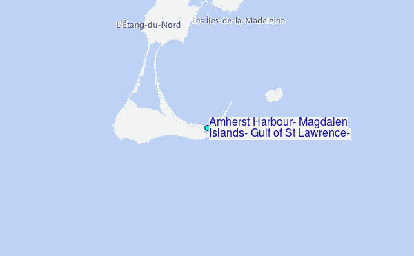
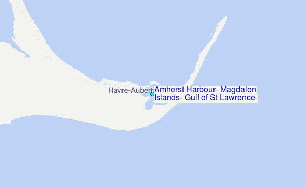
Choose Amherst Harbour, Magdalen Islands, Gulf of St Lawrence, Quebec Location Map Zoom:
| Contours: | Roads & Rivers: | Select a
tide station / surf break / city |
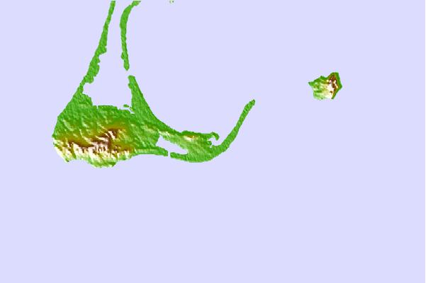
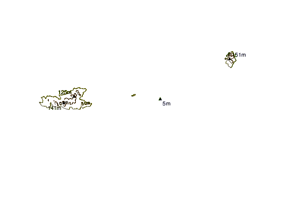
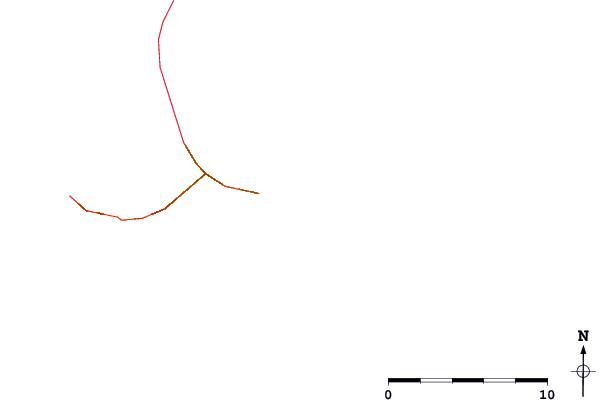
Use this relief map to navigate to tide stations, surf breaks and cities that are in the area of Amherst Harbour, Magdalen Islands, Gulf of St Lawrence, Quebec.
Other Nearby Locations' tide tables and tide charts to Amherst Harbour, Magdalen Islands, Gulf of St Lawrence, Quebec:
click location name for more details
 Surf breaks close to Amherst Harbour, Magdalen Islands, Gulf of St Lawrence, Quebec:
|
||
|---|---|---|
| Closest surf break | Ingonish Beach | 80 mi |
| Second closest surf break | Kennington Cove | 126 mi |
| Third closest surf break | Michaud Point | 127 mi |
| Fourth closest surf break | Martinique | 188 mi |
| Fifth closest surf break | Lawrencetown Left Point | 193 mi |


 Nearest
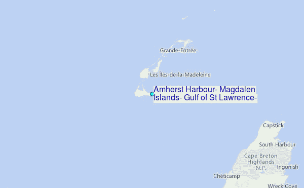