
| Distance / Altitude | Location | Report Date / Time | Live Weather | Wind | Gusts | Temp. | Visibility | Cloud |
|---|---|---|---|---|---|---|---|---|
| 115 km S / 3 m | Central Aleutians Buoy (Marine) | 2026-06-08 18:20 local (2026/06/09 03:20 GMT) | fresh winds from the NNW (29 km/h at 330) | 5°C | - | |||
| 118 km S / - m | SHIP160 (ocean) | 2026-06-08 18:00 local (2026/06/09 03:00 GMT) | - | fresh winds from the NNW (29 km/h at 330) | 5°C | - | no observation | |
| 168 km ENE / 3 m | BUOY-NKLA2 (Marine) | 2026-06-08 18:32 local (2026/06/09 03:32 GMT) | calm (5 km/h at 340) | 5°C | - | |||
| 202 km WSW / 3 m | BUOY-ATKA2 (Marine) | 2026-06-08 18:18 local (2026/06/09 03:18 GMT) | fresh winds from the WNW (33 km/h at 290) | — | - | |||
| 204 km WSW / 211 m | Atka Airport (Alaska) | 2026-06-08 16:56 local (2026/06/09 01:56 GMT) | Dry and partly cloudy | strong winds from the W (48 km/h at 270) | 6°C | 14 | broken | |
| 118 km S / - m | SHIP1141 (ocean) | 2026-06-08 18:00 local (2026/06/09 03:00 GMT) | - | fresh winds from the NNW (29 km/h at 330) | 5°C | - | no observation | |
| 118 km S / - m | SHIP919 (ocean) | 2026-06-08 18:00 local (2026/06/09 03:00 GMT) | - | fresh winds from the NNW (29 km/h at 330) | 5°C | - | no observation | |
| 118 km S / - m | SHIP1900 (ocean) | 2026-06-08 18:00 local (2026/06/09 03:00 GMT) | - | fresh winds from the NNW (29 km/h at 330) | 5°C | - | no observation | |
| 118 km S / - m | SHIP348 (ocean) | 2026-06-08 18:00 local (2026/06/09 03:00 GMT) | - | fresh winds from the NNW (29 km/h at 330) | 5°C | - | no observation | |
| 118 km S / - m | SHIP489 (ocean) | 2026-06-08 18:00 local (2026/06/09 03:00 GMT) | - | fresh winds from the NNW (29 km/h at 330) | 5°C | - | no observation |
| Contours: | Roads & Rivers: | Select a
tide station / surf break / city |
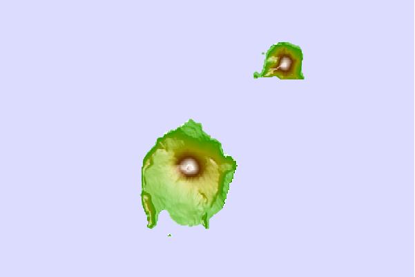
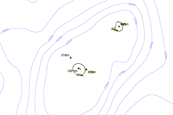
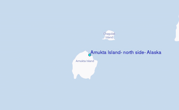
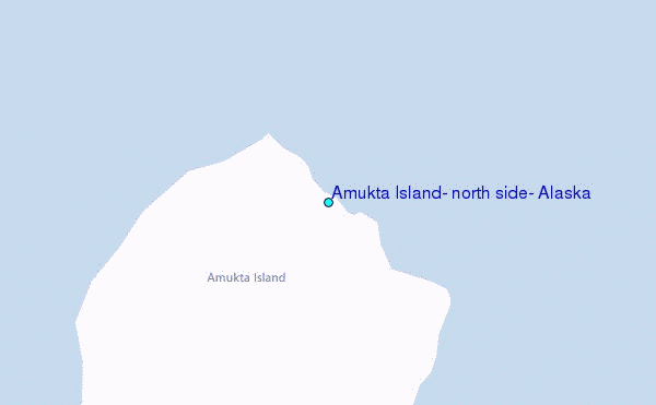
Use this relief map to navigate to tide stations, surf breaks and cities that are in the area of Amukta Island, north side, Alaska.
Other Nearby Locations' tide tables and tide charts to Amukta Island, north side, Alaska:
click location name for more details
 Surf breaks close to Amukta Island, north side, Alaska:
|
||
|---|---|---|
| Closest surf break | Fossil Beach Kodiak | 819 mi |
| Second closest surf break | Monashka Bay | 824 mi |
| Third closest surf break | Termination Point | 826 mi |
| Fourth closest surf break | Mill Bay | 827 mi |
| Fifth closest surf break | Bird Point (Tidal Bore) | 938 mi |


 Nearest
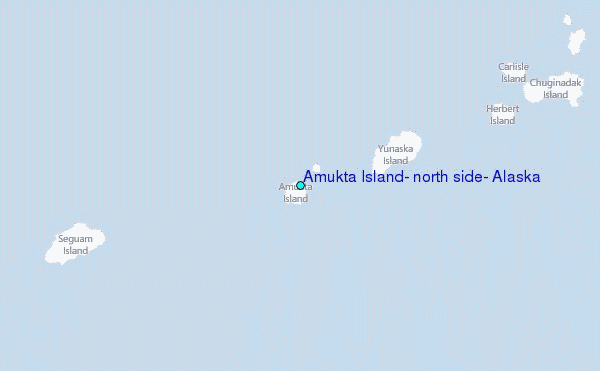