
| Distance / Altitude | Location | Report Date / Time | Live Weather | Wind | Gusts | Temp. | Visibility | Cloud |
|---|---|---|---|---|---|---|---|---|
| 0 km S / 1 m | Annisquam wx (United States) | 2024-04-17 22:42 local (2024/04/18 02:42 GMT) | dry | light winds from the N (8 km/h at 0) | 7°C | - | - - 0 | |
| 3 km S / 19 m | Riverview wx (United States) | 2024-04-17 22:01 local (2024/04/18 02:01 GMT) | dry | light winds from the S (6 km/h at 180) | 7°C | - | - - 0 | |
| 3 km S / 19 m | Riverview wx (United States) | 2024-04-17 22:41 local (2024/04/18 02:41 GMT) | dry | calm (3 km/h at 171) | 7°C | - | - - 0 | |
| 5 km E / 11 m | Rockport (Massachusetts) | 2024-04-17 22:13 local (2024/04/18 02:13 GMT) | dry | calm (3 km/h at 152) | 7°C | - | - - 0 | |
| 6 km E / 11 m | Rockport (Massachusetts) | 2024-04-17 22:15 local (2024/04/18 02:15 GMT) | dry | calm (5 km/h at 180) | 7°C | - | - - 0 |
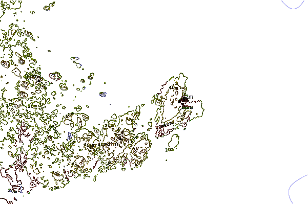
| Contours: | Roads & Rivers: | Select a
tide station / surf break / city |
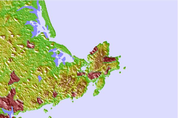
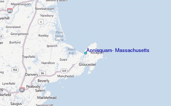
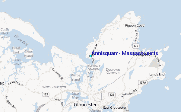
Use this relief map to navigate to tide stations, surf breaks and cities that are in the area of Annisquam, Massachusetts.
Other Nearby Locations' tide tables and tide charts to Annisquam, Massachusetts:
click location name for more details
 Surf breaks close to Annisquam, Massachusetts:
|
||
|---|---|---|
| Closest surf break | Good Harbor Beach | 3 mi |
| Second closest surf break | Long Beach | 4 mi |
| Third closest surf break | Brace Cove | 5 mi |
| Fourth closest surf break | Deveraux Beach | 9 mi |
| Fifth closest surf break | Plum Island | 12 mi |

 Nearest
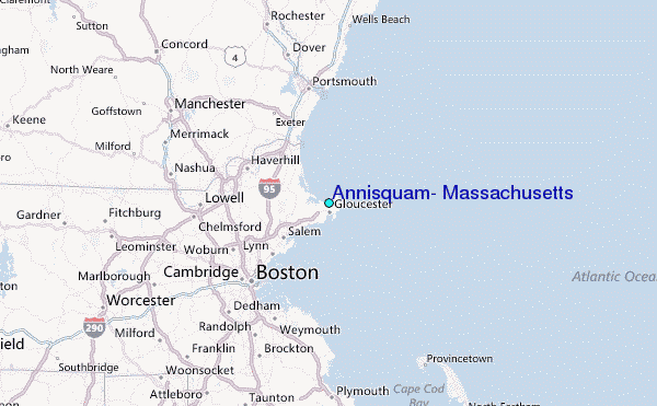