
| Distance / Altitude | Location | Report Date / Time | Live Weather | Wind | Gusts | Temp. | Visibility | Cloud |
|---|---|---|---|---|---|---|---|---|
| 59 km NNE / 74 m | Adeiso-Ndoda (Ghana) | 2024-04-24 23:00 local (2024/04/24 23:00 GMT) | - | calm (4 km/h at 284) | 26°C | - | - - 0 | |
| 71 km ENE / 197 m | Accra/Kotoka International Airport (Ghana) | 2024-04-24 22:00 local (2024/04/24 22:00 GMT) | - | light winds from the S (9 km/h at 180) | 31°C | 35 km | few scattered - | |
| 77 km NW / 140 m | Akim Oda (Ghana) | 2024-04-24 21:00 local (2024/04/24 21:00 GMT) | - | calm (2 km/h at 140) | 28°C | 36 km | mostly cloudy | |
| 89 km ENE / 4 m | Tema (Ghana) | 2024-04-24 21:00 local (2024/04/24 21:00 GMT) | Clouds dissolving | light winds from the SW (7 km/h at 230) | 30°C | 30 km | scattered | |
| 103 km NNE / 8 m | Koforidua (Ghana) | 2024-04-24 21:00 local (2024/04/24 21:00 GMT) | - | calm (0 km/h at 0) | 28°C | 30 km | clear |
| Contours: | Roads & Rivers: | Select a
tide station / surf break / city |
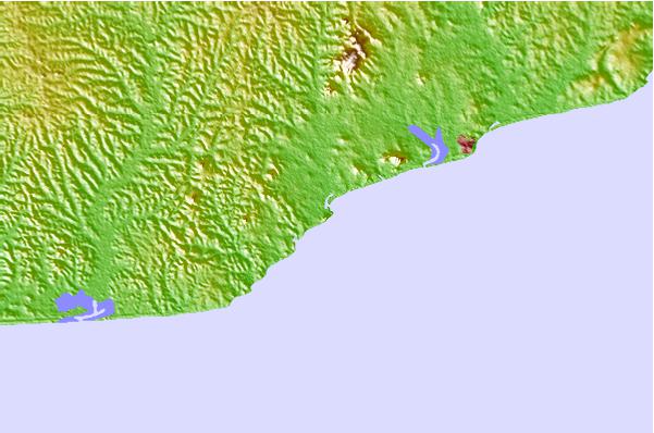
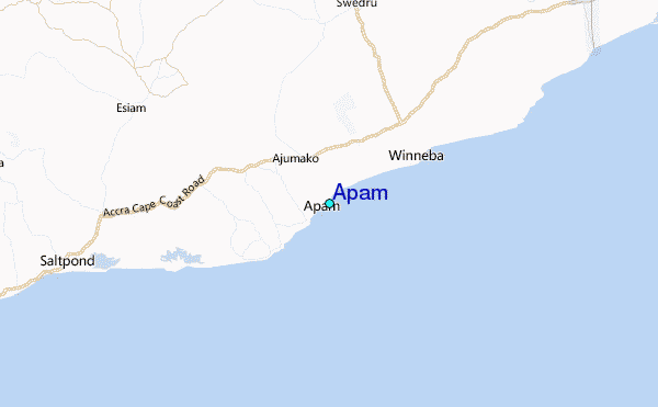
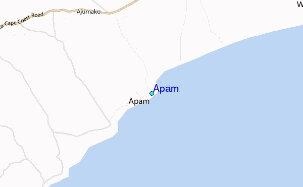
Use this relief map to navigate to tide stations, surf breaks and cities that are in the area of Apam.
Other Nearby Locations' tide tables and tide charts to Apam:
click location name for more details
 Surf breaks close to Apam:
|
||
|---|---|---|
| Closest surf break | Mumford | 2 mi |
| Second closest surf break | St Charles | 9 mi |
| Third closest surf break | Fort Good Hope | 17 mi |
| Fourth closest surf break | Fete | 21 mi |
| Fifth closest surf break | Nyanyanu | 26 mi |

 Nearest
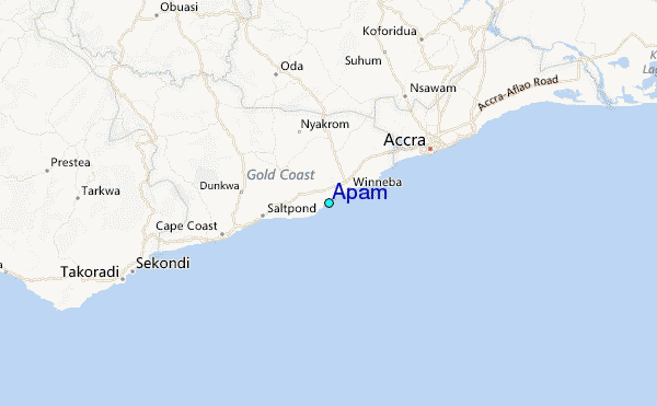