
| Distance / Altitude | Location | Report Date / Time | Live Weather | Wind | Gusts | Temp. | Visibility | Cloud |
|---|---|---|---|---|---|---|---|---|
| 2 km SE / 40 m | Aptos (California) | 2024-04-23 23:04 local (2024/04/24 06:04 GMT) | dry | light winds from the SW (8 km/h at 219) | 13°C | - | - - 0 | |
| 3 km SSE / 30 m | Aptos (California) | 2024-04-23 23:07 local (2024/04/24 06:07 GMT) | dry | wind obs. (6 kph from 237 degs) was rejected (- km/h at -) | 13°C | - | - - 0 | |
| 4 km SE / 30 m | La Selva Beach wx (United States) | 2024-04-23 23:04 local (2024/04/24 06:04 GMT) | dry | light winds from the E (13 km/h at 97) | 13°C | - | - - 0 | |
| 6 km SW / 15 m | Santa Cruz (California) | 2024-04-23 22:42 local (2024/04/24 05:42 GMT) | dry | calm (0 km/h at 279) | 13°C | - | - - 0 | |
| 6 km WSW / 10.1 m | Soquel (California) | 2024-04-23 23:06 local (2024/04/24 06:06 GMT) | dry | calm (0 km/h at 263) | 13°C | - | - - 0 |
| Contours: | Roads & Rivers: | Select a
tide station / surf break / city |
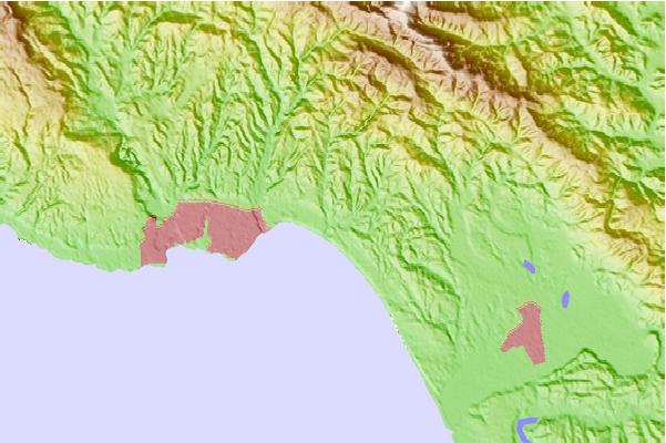
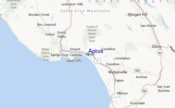
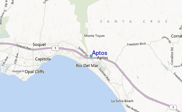
Use this relief map to navigate to tide stations, surf breaks and cities that are in the area of Aptos.
Other Nearby Locations' tide tables and tide charts to Aptos:
click location name for more details
 Surf breaks close to Aptos:
|
||
|---|---|---|
| Closest surf break | Capitola Rivermouth | 2 mi |
| Second closest surf break | Beer Can Beach | 3 mi |
| Third closest surf break | Capitola Jetty | 3 mi |
| Fourth closest surf break | Manresa State Beach | 3 mi |
| Fifth closest surf break | Pleasure Point-First Peak | 4 mi |

 Nearest
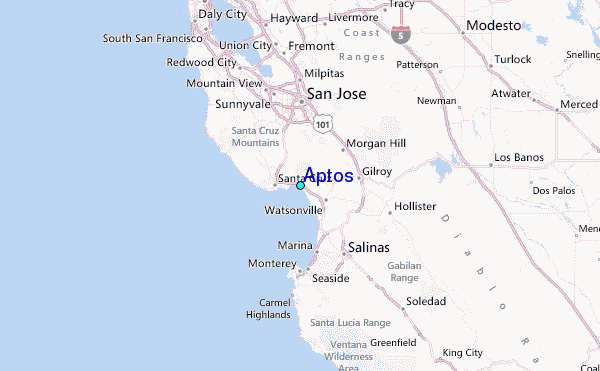