
| Distance / Altitude | Location | Report Date / Time | Live Weather | Wind | Gusts | Temp. | Visibility | Cloud |
|---|---|---|---|---|---|---|---|---|
| 125 km S / 76 m | Ambouli Djibouti Airport (Djibouti) | 2024-04-20 12:00 local (2024/04/20 09:00 GMT) | Dry and partly cloudy | light winds from the N (11 km/h at 1) | 32°C | 10.0 | few broken few | |
| 172 km E / 184 m | Aden International Airport (Yemen) | 2024-04-20 12:00 local (2024/04/20 09:00 GMT) | - | moderate winds from the ENE (24 km/h at 70) | 32°C | 10.0 | few few broken | |
| 175 km E / 3 m | Aden (Yemen) | 2024-04-20 12:00 local (2024/04/20 09:00 GMT) | - | moderate winds from the ENE (24 km/h at 70) | 32°C | 28 km | mostly cloudy | |
| 178 km NNE / 2341 m | Ibb (Yemen) | 2024-04-20 12:00 local (2024/04/20 09:00 GMT) | - | light winds from the SSE (6 km/h at 150) | 24°C | 30 km | mostly cloudy | |
| 422 km ENE / 1124 m | Ataq Airport (Yemen) | 2024-04-20 12:00 local (2024/04/20 09:00 GMT) | Thunderstorm moderate rain thunderstorm in the vicinity | moderate winds from the SE (26 km/h at 130) | 30°C | 10.0 | scattered scattered |
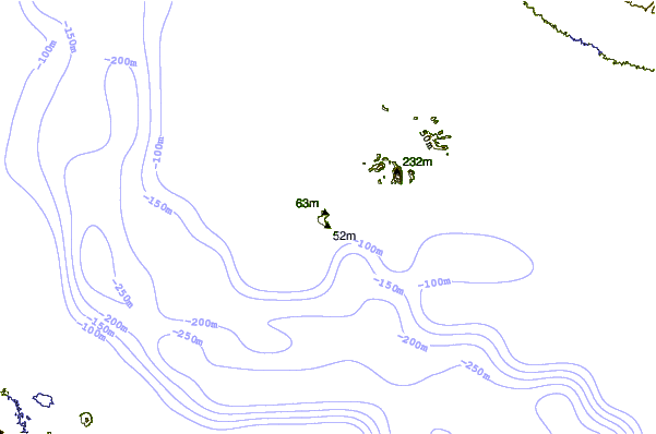
| Contours: | Roads & Rivers: | Select a
tide station / surf break / city |
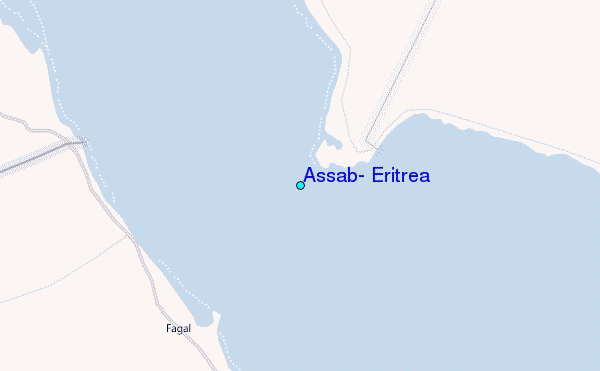
Use this relief map to navigate to tide stations, surf breaks and cities that are in the area of Assab, Eritrea.
Other Nearby Locations' tide tables and tide charts to Assab, Eritrea:
click location name for more details
 Surf breaks close to Assab, Eritrea:
|
||
|---|---|---|
| Closest surf break | Pirights | 547 mi |
| Second closest surf break | Qulansiyah | 679 mi |
| Third closest surf break | Marsa Alaam | 1026 mi |
| Fourth closest surf break | Malindi Bay | 1119 mi |
| Fifth closest surf break | Watamu Bay | 1131 mi |

 Nearest
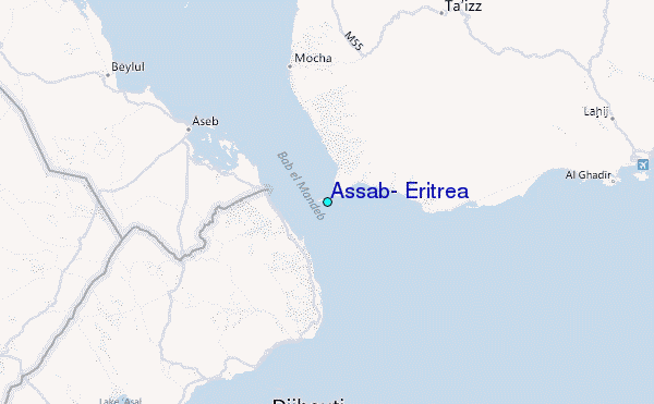