
| Distance / Altitude | Location | Report Date / Time | Live Weather | Wind | Gusts | Temp. | Visibility | Cloud |
|---|---|---|---|---|---|---|---|---|
| 40 km SSE / 6 m | NelsonAeroAws (New Zealand) | 2026-06-09 18:00 local (2026/06/09 06:00 GMT) | Clear skies | light winds from the ENE (13 km/h at 60) | 11°C | 20 km | no observation | |
| 47 km N / 5 m | FarewellSpitAws (New Zealand) | 2026-06-09 18:00 local (2026/06/09 06:00 GMT) | - | moderate winds from the NNE (20 km/h at 30) | 13°C | - | - no observation - | |
| 55 km WNW / 100 m | Collingwood (New Zealand) | 2026-06-09 18:50 local (2026/06/09 06:50 GMT) | dry | calm (2 km/h at 91) | 12°C | - | - - 0 | |
| 87 km ENE / -152 m | Stephens Island Automatic Weather Station (New Zealand) | 2026-06-09 18:00 local (2026/06/09 06:00 GMT) | - | light winds from the SE (19 km/h at 140) | 11°C | - | no observation | |
| 87 km ENE / -152 m | Stephens Island Automatic Weather Station (New Zealand) | 2026-06-09 18:00 local (2026/06/09 06:00 GMT) | - | light winds from the SE (19 km/h at 140) | 11°C | - | - no observation - | |
| 90 km SE / 50 m | Blenheim (New Zealand) | 2026-06-09 16:35 local (2026/06/09 04:35 GMT) | dry | calm (0 km/h at 336) | 11°C | - | - - 0 | |
| 133 km SE / 6 m | CapeCampbellAws (New Zealand) | 2026-06-09 18:00 local (2026/06/09 06:00 GMT) | - | fresh winds from the S (35 km/h at 180) | 12°C | - | - no observation - | |
| 148 km ESE / 116 m | Wellington (New Zealand) | 2026-06-09 18:12 local (2026/06/09 06:12 GMT) | dry | wind obs. (6 kph from 359 degs) was rejected (- km/h at -) | 10°C | - | - - 0 | |
| 150 km SSW / 5 m | WestportAeroAws (New Zealand) | 2026-06-09 18:00 local (2026/06/09 06:00 GMT) | Clear skies | light winds from the SSE (9 km/h at 160) | 8°C | 10 km | no observation | |
| 152 km ESE / 201 m | Wellington International Airport (New Zealand) | 2026-06-09 18:00 local (2026/06/09 06:00 GMT) | Clear skies | strong winds from the S (50 km/h at 180) | 12°C | 4 km | - no observation - |
| Contours: | Roads & Rivers: | Select a
tide station / surf break / city |
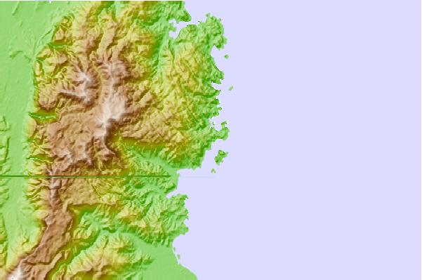
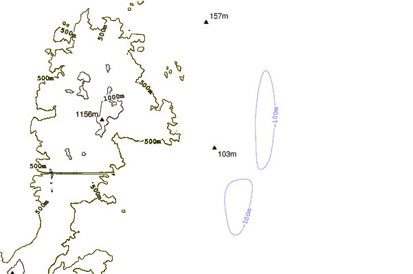
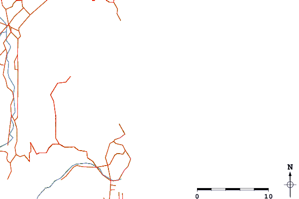
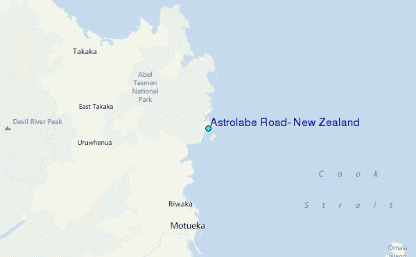
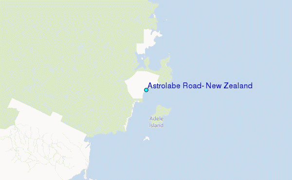
Use this relief map to navigate to tide stations, surf breaks and cities that are in the area of Astrolabe Road, New Zealand.
Other Nearby Locations' tide tables and tide charts to Astrolabe Road, New Zealand:
click location name for more details
 Surf breaks close to Astrolabe Road, New Zealand:
|
||
|---|---|---|
| Closest surf break | Tata Beach | 12 mi |
| Second closest surf break | Pohara Beach | 13 mi |
| Third closest surf break | Ruby Bay | 17 mi |
| Fourth closest surf break | Patons Rock | 19 mi |
| Fifth closest surf break | Rabbit Island | 21 mi |


 Nearest
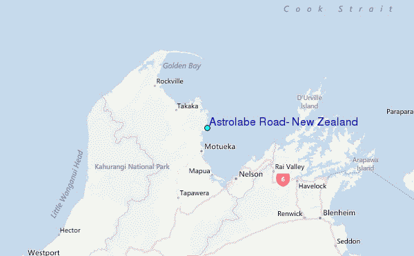