
| Distance / Altitude | Location | Report Date / Time | Live Weather | Wind | Gusts | Temp. | Visibility | Cloud |
|---|---|---|---|---|---|---|---|---|
| 1 km NW / 3 m | BUOY-ACYN4 (Marine) | 2024-04-23 12:00 local (2024/04/23 16:00 GMT) | - (- km/h at -) | 11°C | - | |||
| 19 km WNW / 217 m | Atlantic City Airport (New Jersey) | 2024-04-23 10:54 local (2024/04/23 14:54 GMT) | Clear | light winds from the S (17 km/h at 190) | 16°C | 16 | ||
| 21 km N / 3 m | BUOY-JCRN4 (Marine) | 2024-04-23 10:30 local (2024/04/23 14:30 GMT) | light winds from the ESE (13 km/h at 120) | 17°C | - | |||
| 57 km WSW / 218 m | Millville Airport (New Jersey) | 2024-04-23 10:54 local (2024/04/23 14:54 GMT) | Clear | light winds from the SE (15 km/h at 140) | 16°C | 16 | ||
| 57 km SSW / 396 m | Wildwood Airport (New Jersey) | 2024-04-23 10:56 local (2024/04/23 14:56 GMT) | Clear | light winds from the SSE (17 km/h at 160) | 16°C | 16 |
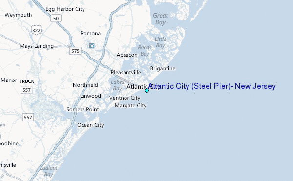
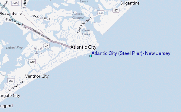
Choose Atlantic City (Steel Pier), New Jersey Location Map Zoom:
| Contours: | Roads & Rivers: | Select a
tide station / surf break / city |
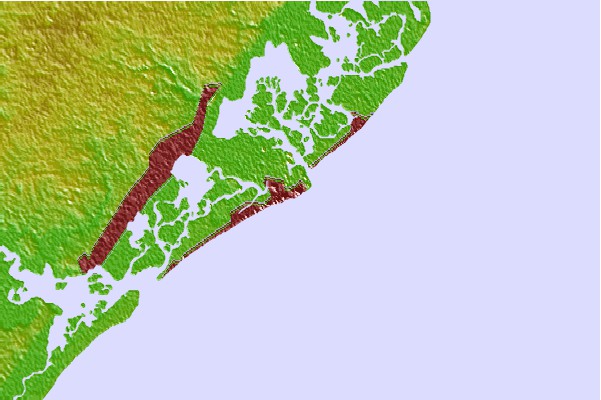
Use this relief map to navigate to tide stations, surf breaks and cities that are in the area of Atlantic City (Steel Pier), New Jersey.
Other Nearby Locations' tide tables and tide charts to Atlantic City (Steel Pier), New Jersey:
click location name for more details
 Surf breaks close to Atlantic City (Steel Pier), New Jersey:
|
||
|---|---|---|
| Closest surf break | Crystals | 1 mi |
| Second closest surf break | The Jetty | 1 mi |
| Third closest surf break | States Avenue (Gas Chambers) | 2 mi |
| Fourth closest surf break | The South Jetty | 2 mi |
| Fifth closest surf break | 38th St Beach | 3 mi |

 Nearest
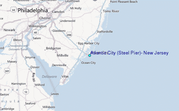