
| Distance / Altitude | Location | Report Date / Time | Live Weather | Wind | Gusts | Temp. | Visibility | Cloud |
|---|---|---|---|---|---|---|---|---|
| 2 km ESE / 3 m | BUOY-SEIM1 (Marine) | 2026-06-08 23:18 local (2026/06/09 03:18 GMT) | - (- km/h at -) | — | - | |||
| 5 km SW / 218 m | Portsmouth/Pease Airport (New Hampshire) | 2026-06-08 21:55 local (2026/06/09 01:55 GMT) | Dry and partly cloudy | light winds from the S (15 km/h at 190) | 18°C | 16 | broken | |
| 6 km SW / 3 m | BUOY-BGXN3 (Marine) | 2026-06-08 22:45 local (2026/06/09 02:45 GMT) | - (0 km/h at -) | 13°C | - | |||
| 8 km SW / 3 m | BUOY-44074 (Marine) | 2026-06-08 23:00 local (2026/06/09 03:00 GMT) | calm (4 km/h at 140) | 19°C | - | |||
| 17 km SE / 1 m | Gosport wx (United States) | 2026-06-08 23:15 local (2026/06/09 03:15 GMT) | - | wind obs. (13 kph from 162 degs) was rejected (- km/h at -) | 15°C | - | - - 0 | |
| 19 km SSW / 3 m | Exeter wx (United States) | 2026-06-08 23:49 local (2026/06/09 03:49 GMT) | dry | calm (0 km/h at 157) | 14°C | - | - - 0 | |
| 20 km ESE / 3 m | BUOY-44073 (Marine) | 2026-06-08 23:15 local (2026/06/09 03:15 GMT) | - (- km/h at -) | — | - | |||
| 25 km NW / 218 m | Rochester Airport (New Hampshire) | 2026-06-08 21:51 local (2026/06/09 01:51 GMT) | Clear | calm (0 km/h at 0) | 17°C | 16 | ||
| 27 km S / 25.9 m | Salisbury (Massachusetts) | 2026-06-08 23:51 local (2026/06/09 03:51 GMT) | dry | calm (0 km/h at 149) | 17°C | - | - - 0 | |
| 27 km NW / 110 m | Rochester (New Hampshire) | 2026-06-08 23:06 local (2026/06/09 03:06 GMT) | dry | calm (0 km/h at 0) | 16°C | - | - - 0 |
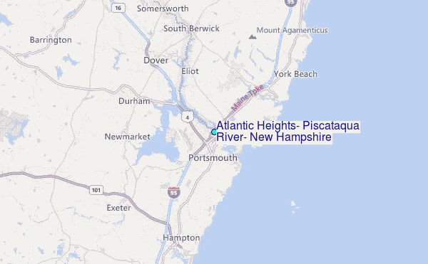
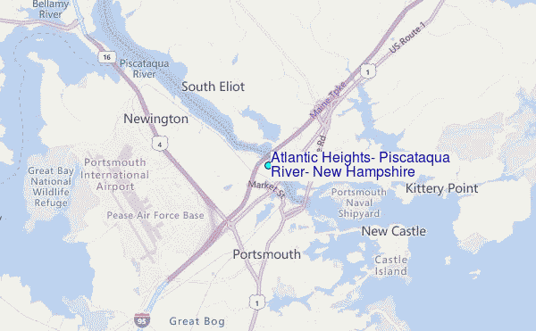
Choose Atlantic Heights, Piscataqua River, New Hampshire Location Map Zoom:
| Contours: | Roads & Rivers: | Select a
tide station / surf break / city |
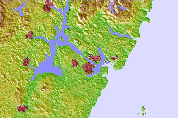
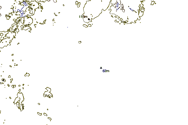
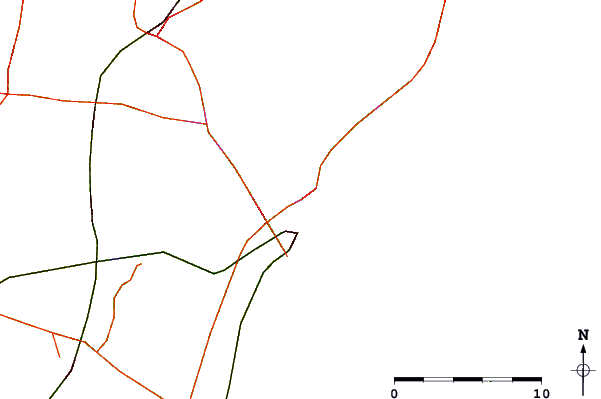
Use this relief map to navigate to tide stations, surf breaks and cities that are in the area of Atlantic Heights, Piscataqua River, New Hampshire.
Other Nearby Locations' tide tables and tide charts to Atlantic Heights, Piscataqua River, New Hampshire:
click location name for more details
 Surf breaks close to Atlantic Heights, Piscataqua River, New Hampshire:
|
||
|---|---|---|
| Closest surf break | Jenness Beach | 7 mi |
| Second closest surf break | Rye On the Rocks | 7 mi |
| Third closest surf break | Linkys | 9 mi |
| Fourth closest surf break | Long Sands | 9 mi |
| Fifth closest surf break | Fox Hill Point | 9 mi |


 Nearest
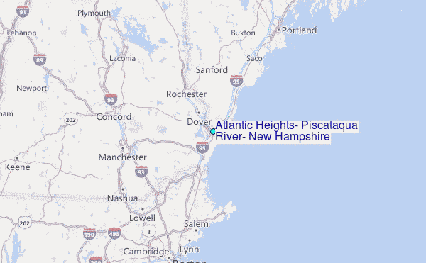