
| Distance / Altitude | Location | Report Date / Time | Live Weather | Wind | Gusts | Temp. | Visibility | Cloud |
|---|---|---|---|---|---|---|---|---|
| 95 km ENE / 40 m | EnderbyIslandAws (New Zealand) | 2026-06-09 21:00 local (2026/06/09 09:00 GMT) | - | fresh winds from the WNW (31 km/h at 290) | 10°C | - | - no observation - | |
| 338 km SE / 16 m | Campbell Island (New Zealand) | 2026-06-09 21:00 local (2026/06/09 09:00 GMT) | - | strong winds from the W (41 km/h at 260) | 10°C | - | - no observation - | |
| 536 km NNE / 44 m | PuysegurPointAws (New Zealand) | 2026-06-09 21:00 local (2026/06/09 09:00 GMT) | - | light winds from the NNE (17 km/h at 30) | 10°C | - | - no observation - | |
| 550 km NNE / 3 m | InvercargillAeroAws (New Zealand) | 2026-06-09 21:00 local (2026/06/09 09:00 GMT) | Clear skies | light winds from the NW (17 km/h at 310) | 11°C | 10 km | no observation | |
| 551 km NNE / 9 m | Georgetown wx (New Zealand) | 2026-06-09 21:00 local (2026/06/09 09:00 GMT) | dry | wind obs. (6 kph from 156 degs) was rejected (- km/h at -) | 12°C | - | - - 0 | |
| 578 km SSW / 6 m | Macquarie Island (Australia) | 2026-06-09 21:00 local (2026/06/09 09:00 GMT) | no report | strong winds from the NW (48 km/h at 310) | 8°C | - | - no observation - | |
| 602 km NE / 131 m | Nugget Point Automatic Weather Station (New Zealand) | 2026-06-09 21:00 local (2026/06/09 09:00 GMT) | - | fresh winds from the W (30 km/h at 280) | 10°C | - | - no observation - | |
| 642 km NNE / 19 m | SecretaryIslandAws (New Zealand) | 2026-06-09 21:00 local (2026/06/09 09:00 GMT) | - | light winds from the S (7 km/h at 180) | 9°C | - | - no observation - | |
| 667 km NE / 2 m | DunedinAeroAws (New Zealand) | 2026-06-09 21:00 local (2026/06/09 09:00 GMT) | Clear skies | light winds from the SW (13 km/h at 230) | 11°C | 20 km | no observation | |
| 667 km NE / 2 m | Dunedin Airport (New zealand) | 2026-06-09 20:30 local (2026/06/09 08:30 GMT) | - | calm (4 km/h at 120) | 10°C | 10.0 |
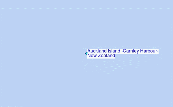
Choose Auckland Island (Carnley Harbour), New Zealand Location Map Zoom:
| Contours: | Roads & Rivers: | Select a
tide station / surf break / city |

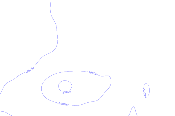
Use this relief map to navigate to tide stations, surf breaks and cities that are in the area of Auckland Island (Carnley Harbour), New Zealand.
Other Nearby Locations' tide tables and tide charts to Auckland Island (Carnley Harbour), New Zealand:
click location name for more details
 Surf breaks close to Auckland Island (Carnley Harbour), New Zealand:
|
||
|---|---|---|
| Closest surf break | Stewart Island - Saber Reef | 282 mi |
| Second closest surf break | Beatons | 335 mi |
| Third closest surf break | Nicks Point | 335 mi |
| Fourth closest surf break | Porridge | 336 mi |
| Fifth closest surf break | Colac Bay | 337 mi |


 Nearest
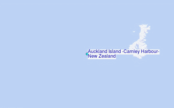