
| Distance / Altitude | Location | Report Date / Time | Live Weather | Wind | Gusts | Temp. | Visibility | Cloud |
|---|---|---|---|---|---|---|---|---|
| 4 km S / 169 m | Queen Beatrix Airport (Lesser Antilles) | 2024-04-19 17:00 local (2024/04/19 21:00 GMT) | - | fresh winds from the ENE (33 km/h at 70) | 30°C | 10.0 | few | |
| 5 km SSW / 5 m | QueenBeatrixAirport- Aruba (Netherlands) | 2024-04-19 17:00 local (2024/04/19 21:00 GMT) | - | fresh winds from the ENE (33 km/h at 70) | 30°C | 40 km | mostly cloudy | |
| 87 km S / 394 m | Paraguana/Josefa Camejo International Airport (Venezuela) | 2024-04-19 17:00 local (2024/04/19 21:00 GMT) | Haze - | fresh winds from the E (37 km/h at 90) | — | 5.0 | broken | |
| 117 km ESE / 187 m | Hato Air Curacao Airport (Virgin Islands) | 2024-04-19 17:00 local (2024/04/19 21:00 GMT) | - | moderate winds from the E (20 km/h at 80) | 30°C | 10.0 | few | |
| 117 km ESE / 0 m | HatoAirport-Curacao (78988 -1) (Curacao) | 2024-04-19 18:00 local (2024/04/19 22:00 GMT) | Haze | moderate winds from the E (20 km/h at 80) | 30°C | 38 km | - mostly cloudy - |
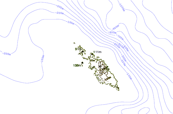
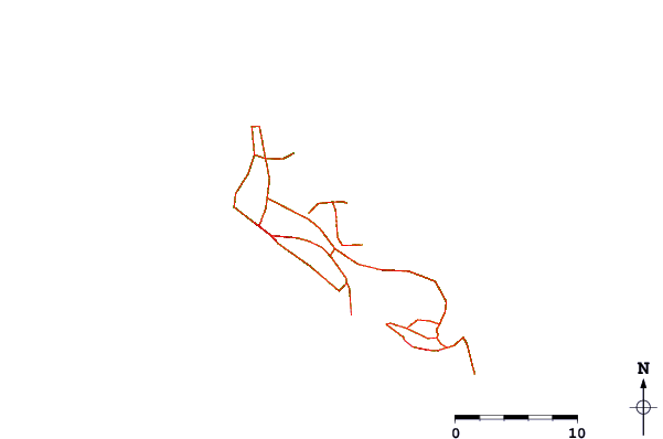
| Contours: | Roads & Rivers: | Select a
tide station / surf break / city |
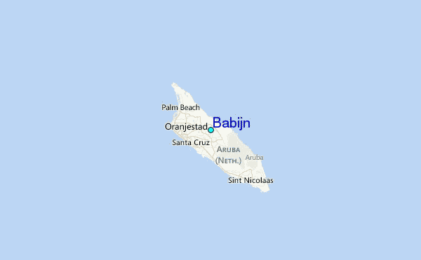
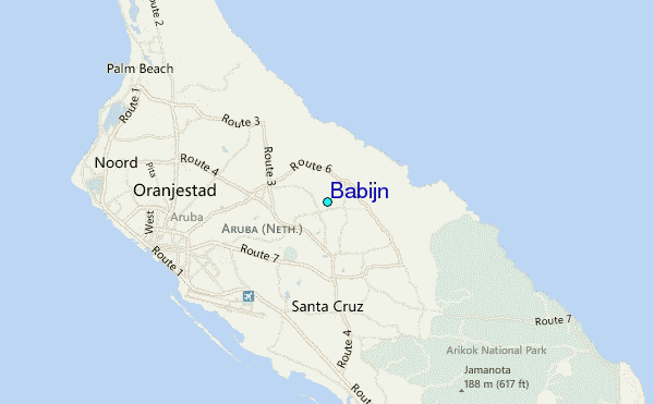
Use this relief map to navigate to tide stations, surf breaks and cities that are in the area of Babijn.
Other Nearby Locations' tide tables and tide charts to Babijn:
click location name for more details
 Surf breaks close to Babijn:
|
||
|---|---|---|
| Closest surf break | Andicuri | 2 mi |
| Second closest surf break | Shark Bay | 2 mi |
| Third closest surf break | Wariruri | 2 mi |
| Fourth closest surf break | Urirama | 4 mi |
| Fifth closest surf break | Dos Playa | 5 mi |

 Nearest
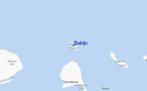