
| Distance / Altitude | Location | Report Date / Time | Live Weather | Wind | Gusts | Temp. | Visibility | Cloud |
|---|---|---|---|---|---|---|---|---|
| 236 km ESE / 135 m | Loreto Airport (Mexico) | 2026-06-09 13:40 local (2026/06/09 20:40 GMT) | - | wind obs. (19 kph from 20 degs) was rejected (- km/h at -) | — | 16 | few | |
| 296 km ENE / 223 m | Guaymas International Airport (Mexico) | 2026-06-09 13:40 local (2026/06/09 20:40 GMT) | - | light winds from the SSW (19 km/h at 200) | — | 16 | ||
| 362 km NE / 260 m | Hermosillo (Mexico) | 2026-06-09 13:47 local (2026/06/09 20:47 GMT) | dry | wind obs. (10 kph from 293 degs) was rejected (- km/h at -) | 37°C | - | - - 0 | |
| 365 km NE / 282 m | Hermosillo International Airport (Mexico) | 2026-06-09 13:40 local (2026/06/09 20:40 GMT) | Dry and partly cloudy | light winds from the NW (11 km/h at 320) | 39°C | 16 | few - - | |
| 369 km NE / 211 m | Hermosillo- Son. (Mexico) | 2026-06-09 14:00 local (2026/06/09 21:00 GMT) | no report | calm (4 km/h at 240) | 30°C | 8 | - | |
| 370 km NE / 284 m | Santa Inés wx (Mexico) | 2026-06-09 14:06 local (2026/06/09 21:06 GMT) | dry | calm (2 km/h at 14) | 37°C | - | - - 0 | |
| 374 km NE / 263 m | Hermosillo (Mexico) | 2026-06-09 14:17 local (2026/06/09 21:17 GMT) | dry | calm (2 km/h at 360) | 37°C | - | - - 0 | |
| 378 km ENE / 151 m | Ciudad Obregón Airport (Mexico) | 2026-06-09 13:40 local (2026/06/09 20:40 GMT) | - | light winds from the SSW (15 km/h at 200) | — | 16 | ||
| 431 km SE / 25 m | La Paz (Mexico) | 2026-06-09 13:32 local (2026/06/09 20:32 GMT) | dry | light winds from the SW (16 km/h at 215) | 31°C | - | - - 0 | |
| 431 km SE / 3 m | SHIP9455 (Marine) | 2026-06-09 14:00 local (2026/06/09 21:00 GMT) | - (- km/h at -) | 31°C | - |
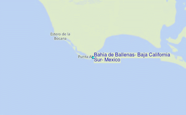
Choose Bahia de Ballenas, Baja California Sur, Mexico Location Map Zoom:
| Contours: | Roads & Rivers: | Select a
tide station / surf break / city |
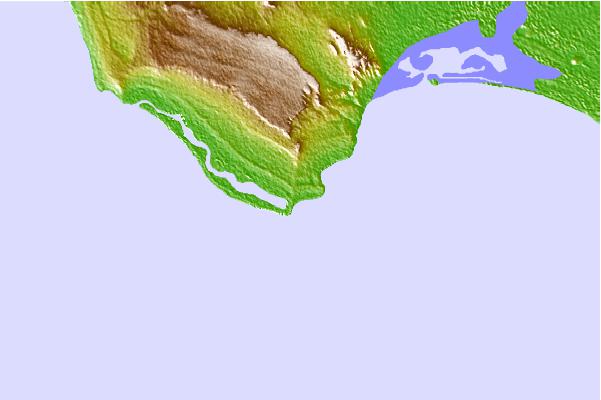
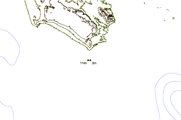
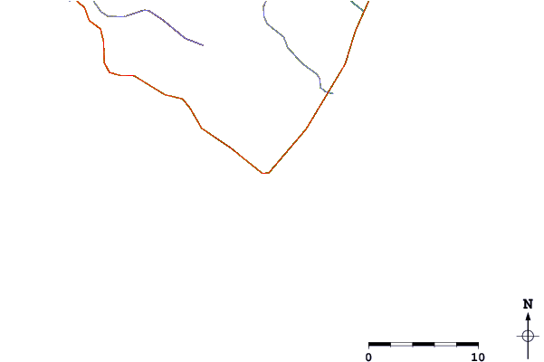
Use this relief map to navigate to tide stations, surf breaks and cities that are in the area of Bahia de Ballenas, Baja California Sur, Mexico.
Other Nearby Locations' tide tables and tide charts to Bahia de Ballenas, Baja California Sur, Mexico:
click location name for more details
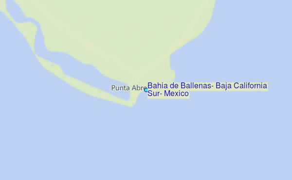
 Surf breaks close to Bahia de Ballenas, Baja California Sur, Mexico:
|
||
|---|---|---|
| Closest surf break | Punta Abreojos | 1 mi |
| Second closest surf break | Campo Renes | 7 mi |
| Third closest surf break | La Bocana | 12 mi |
| Fourth closest surf break | San Hipolito | 33 mi |
| Fifth closest surf break | Asuncion Bay | 53 mi |


 Nearest
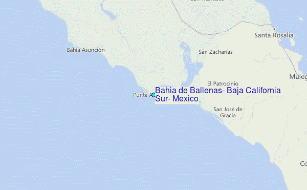