
| Distance / Altitude | Location | Report Date / Time | Live Weather | Wind | Gusts | Temp. | Visibility | Cloud |
|---|---|---|---|---|---|---|---|---|
| 252 km E / 282 m | Hermosillo International Airport (Mexico) | 2026-06-09 13:40 local (2026/06/09 20:40 GMT) | Dry and partly cloudy | light winds from the NW (11 km/h at 320) | 39°C | 16 | few - - | |
| 253 km E / 284 m | Santa Inés wx (Mexico) | 2026-06-09 14:06 local (2026/06/09 21:06 GMT) | dry | calm (2 km/h at 14) | 37°C | - | - - 0 | |
| 254 km E / 260 m | Hermosillo (Mexico) | 2026-06-09 13:47 local (2026/06/09 20:47 GMT) | dry | wind obs. (10 kph from 293 degs) was rejected (- km/h at -) | 37°C | - | - - 0 | |
| 256 km E / 211 m | Hermosillo- Son. (Mexico) | 2026-06-09 14:00 local (2026/06/09 21:00 GMT) | no report | calm (4 km/h at 240) | 30°C | 8 | - | |
| 258 km E / 263 m | Hermosillo (Mexico) | 2026-06-09 14:17 local (2026/06/09 21:17 GMT) | dry | calm (2 km/h at 360) | 37°C | - | - - 0 | |
| 260 km N / 7.6 m | Puerto Penasco (Åland) | 2026-06-09 13:40 local (2026/06/09 20:40 GMT) | dry | light winds from the SSE (10 km/h at 157) | 28°C | - | - - 0 | |
| 261 km N / 61 m | Puerto Penasco- Son. (Mexico) | 2026-06-09 14:00 local (2026/06/09 21:00 GMT) | no report | - (- km/h at -) | 27°C | 20 | - | |
| 266 km N / 9 m | Puerto Penasco Airport (Mexico) | 2026-06-09 13:44 local (2026/06/09 20:44 GMT) | - | light winds from the SSW (13 km/h at 210) | — | 16 | ||
| 281 km ESE / 223 m | Guaymas International Airport (Mexico) | 2026-06-09 13:40 local (2026/06/09 20:40 GMT) | - | light winds from the SSW (19 km/h at 200) | — | 16 | ||
| 377 km NE / 715 m | Nogales Airport (Arizona) | 2026-06-09 12:54 local (2026/06/09 19:54 GMT) | Clear | light winds from the N (11 km/h at 1) | 35°C | 16 |
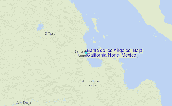
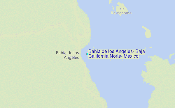
Choose Bahia de los Angeles, Baja California Norte, Mexico Location Map Zoom:
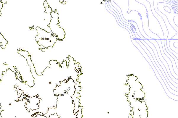
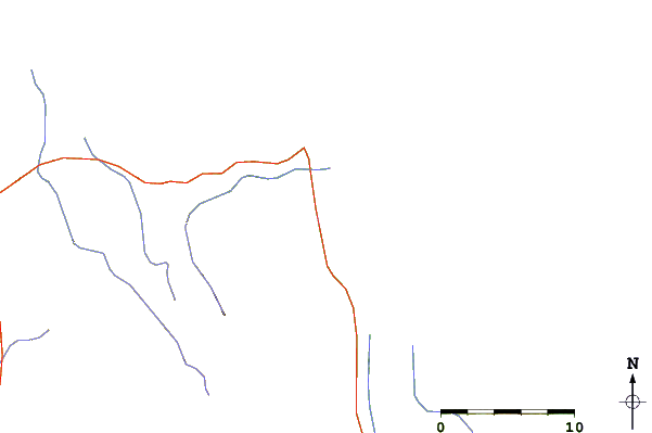
| Contours: | Roads & Rivers: | Select a
tide station / surf break / city |
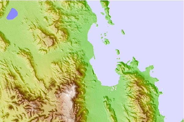
Use this relief map to navigate to tide stations, surf breaks and cities that are in the area of Bahia de los Angeles, Baja California Norte, Mexico.
Other Nearby Locations' tide tables and tide charts to Bahia de los Angeles, Baja California Norte, Mexico:
click location name for more details
 Surf breaks close to Bahia de los Angeles, Baja California Norte, Mexico:
|
||
|---|---|---|
| Closest surf break | Millers Landing | 45 mi |
| Second closest surf break | Punta Rosarito | 45 mi |
| Third closest surf break | Punta Santa Rosalillita (The Wall) | 47 mi |
| Fourth closest surf break | Puerto San Andres | 48 mi |
| Fifth closest surf break | Punta Negra | 52 mi |


 Nearest
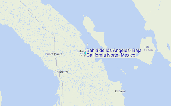