
| Distance / Altitude | Location | Report Date / Time | Live Weather | Wind | Gusts | Temp. | Visibility | Cloud |
|---|---|---|---|---|---|---|---|---|
| 11 km E / 3 m | Sepinggan Airport (Indonesia) | 2026-06-09 20:30 local (2026/06/09 12:30 GMT) | Clouds dissolving | calm (2 km/h at 1) | 28°C | 10.0 | few scattered - | |
| 131 km SW / 762 m | lightning 89km NNE of Amuntai (Indonesia) | 2026-06-09 20:15 local (2026/06/09 12:15 GMT) | Thunderstorm | (- km/h at -) | — | |||
| 243 km WSW / 84 m | lightning 124km NNE of Palangkaraya (Indonesia) | 2026-06-09 20:04 local (2026/06/09 12:04 GMT) | Thunderstorm | (- km/h at -) | — | |||
| 267 km N / 124 m | lightning 125km NNW of Bontang (Indonesia) | 2026-06-09 19:32 local (2026/06/09 11:32 GMT) | Thunderstorm | (- km/h at -) | — | |||
| 280 km ESE / 217 m | Majene (Indonesia (sulawesi)) | 2026-06-09 20:00 local (2026/06/09 12:00 GMT) | - | light winds from the ESE (6 km/h at 120) | 29°C | 30 km | few | |
| 331 km SSW / 20 m | Syamsudin Noor International Airport (Indonesia) | 2026-06-09 20:30 local (2026/06/09 12:30 GMT) | - | calm (0 km/h at 0) | — | 0.0 | ||
| 331 km SSW / 20 m | BanjarmasinSyamsudinNoor (Indonesia) | 2026-06-09 20:00 local (2026/06/09 12:00 GMT) | - | calm (4 km/h at 190) | 28°C | 30 km | - scattered - | |
| 335 km SW / 27 m | PalangkaRayaTjilikRiwut (Indonesia) | 2026-06-09 20:00 local (2026/06/09 12:00 GMT) | - | light winds from the S (7 km/h at 190) | 28°C | 29 km | - overcast - | |
| 348 km E / 6 m | PaluMutiara (Indonesia) | 2026-06-09 20:00 local (2026/06/09 12:00 GMT) | - | calm (2 km/h at 50) | — | 28 km | - mostly cloudy - | |
| 348 km WNW / 609 m | lightning 220km ESE of Kapit (Malaysia) | 2026-06-09 19:20 local (2026/06/09 11:20 GMT) | Thunderstorm | (- km/h at -) | — |
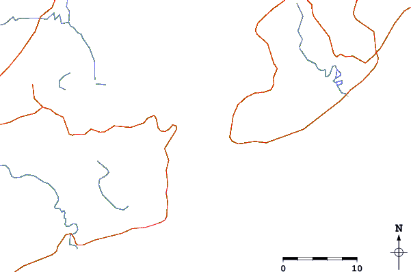
| Contours: | Roads & Rivers: | Select a
tide station / surf break / city |

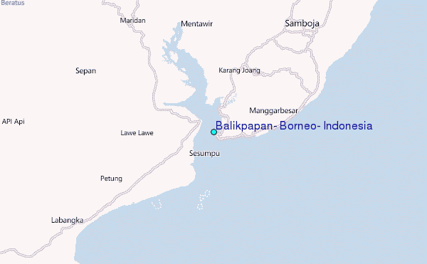
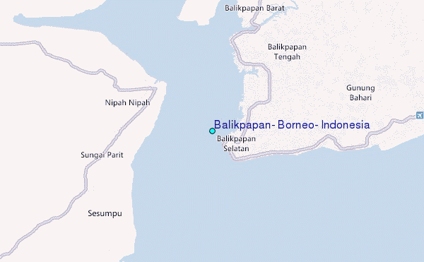
Use this relief map to navigate to tide stations, surf breaks and cities that are in the area of Balikpapan, Borneo, Indonesia.
Other Nearby Locations' tide tables and tide charts to Balikpapan, Borneo, Indonesia:
click location name for more details
 Surf breaks close to Balikpapan, Borneo, Indonesia:
|
||
|---|---|---|
| Closest surf break | Tungku Beach or KM26 | 451 mi |
| Second closest surf break | Berakas Beach | 452 mi |
| Third closest surf break | Tanjung Batu | 452 mi |
| Fourth closest surf break | Gili Air-Pertama | 493 mi |
| Fifth closest surf break | Tanjung Aru Beach | 500 mi |


 Nearest
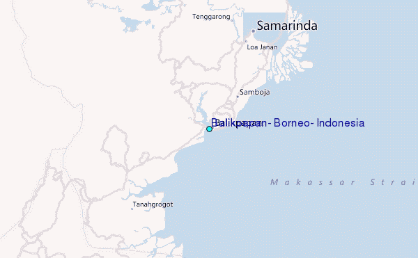