
| Distance / Altitude | Location | Report Date / Time | Live Weather | Wind | Gusts | Temp. | Visibility | Cloud |
|---|---|---|---|---|---|---|---|---|
| 73 km SE / 221 m | Banyuwangi (Indonesia) | 2024-04-19 05:00 local (2024/04/18 21:00 GMT) | - | light winds from the S (6 km/h at 190) | 26°C | 28 km | mostly cloudy | |
| 77 km N / 3 m | Kalianget(MaduraIs) (Indonesia) | 2024-04-19 05:00 local (2024/04/18 21:00 GMT) | - | calm (0 km/h at 0) | 26°C | 28 km | - scattered - | |
| 132 km W / 2 m | Juanda Airport (Indonesia) | 2024-04-19 05:30 local (2024/04/18 21:30 GMT) | Haze | light winds from the SSW (6 km/h at 200) | 26°C | 5.0 km | few scattered - | |
| 144 km W / 3 m | SurabayaPerakII (Indonesia) | 2024-04-19 05:00 local (2024/04/18 21:00 GMT) | - | calm (0 km/h at 0) | 26°C | 28 km | - scattered - | |
| 177 km SE / 216 m | Bali International Airport (Indonesia) | 2024-04-19 05:30 local (2024/04/18 21:30 GMT) | Thunderstorm - in the vicinity | calm (2 km/h at 1) | 27°C | 10.0 | few scattered |
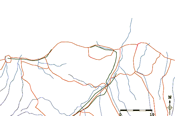
| Contours: | Roads & Rivers: | Select a
tide station / surf break / city |
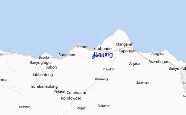
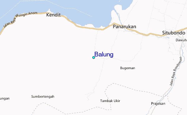
Use this relief map to navigate to tide stations, surf breaks and cities that are in the area of Balung.
Other Nearby Locations' tide tables and tide charts to Balung:
click location name for more details
 Surf breaks close to Balung:
|
||
|---|---|---|
| Closest surf break | Tanjung Kucur | 73 mi |
| Second closest surf break | Grajagan Bay/G-Land | 75 mi |
| Third closest surf break | Medewi | 78 mi |
| Fourth closest surf break | Balian | 89 mi |
| Fifth closest surf break | Pererenan | 105 mi |

 Nearest
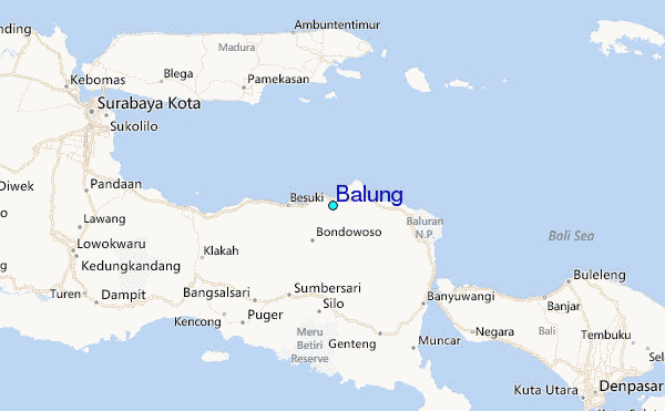