
| Distance / Altitude | Location | Report Date / Time | Live Weather | Wind | Gusts | Temp. | Visibility | Cloud |
|---|---|---|---|---|---|---|---|---|
| 6 km W / 92 m | Bandar Lengeh (Iran) | 2024-04-26 01:30 local (2024/04/25 21:00 GMT) | Haze | calm (0 km/h at 0) | 25°C | 26 km | clear | |
| 7 km W / 169 m | Bandar Lengeh Airport (Iran, Islamic Rep) | 2024-04-26 01:30 local (2024/04/25 21:00 GMT) | Dry and partly cloudy | calm (0 km/h at 0) | 25°C | 6.0 | no significant cloud | |
| 90 km WSW / 90 m | Kish Island (Iran) | 2024-04-26 01:30 local (2024/04/25 21:00 GMT) | Mist | light winds from the NW (14 km/h at 310) | 24°C | 5.0 km | clear | |
| 90 km WSW / 215 m | Kish Island Airport (Iran, Islamic Rep) | 2024-04-26 00:30 local (2024/04/25 20:00 GMT) | Mist - | light winds from the WNW (15 km/h at 290) | 24°C | 5.0 | no significant cloud | |
| 104 km ENE / 185 m | Gheshm/Dayrestan Airport (Iran, Islamic Rep) | 2024-04-26 00:30 local (2024/04/25 20:00 GMT) | Mist - | light winds from the ESE (7 km/h at 120) | 24°C | 4.0 | no significant cloud |
| Contours: | Roads & Rivers: | Select a
tide station / surf break / city |
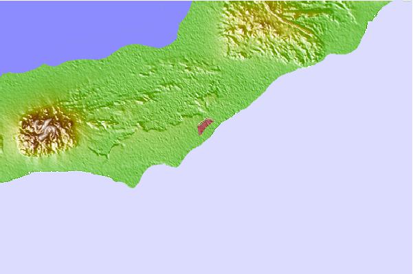
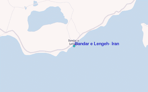
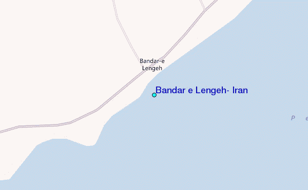
Use this relief map to navigate to tide stations, surf breaks and cities that are in the area of Bandar e Lengeh, Iran.
Other Nearby Locations' tide tables and tide charts to Bandar e Lengeh, Iran:
click location name for more details
 Surf breaks close to Bandar e Lengeh, Iran:
|
||
|---|---|---|
| Closest surf break | Al Hamra - Ras Al Khema | 81 mi |
| Second closest surf break | Jumeirah Beach | 99 mi |
| Third closest surf break | Jebal Ali Lefts | 109 mi |
| Fourth closest surf break | Tim's Reef | 117 mi |
| Fifth closest surf break | Sur | 400 mi |

 Nearest
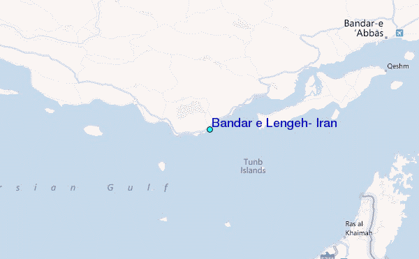