
| Distance / Altitude | Location | Report Date / Time | Live Weather | Wind | Gusts | Temp. | Visibility | Cloud |
|---|---|---|---|---|---|---|---|---|
| 25 km ESE / 20 m | Syamsudin Noor International Airport (Indonesia) | 2024-04-25 15:30 local (2024/04/25 07:30 GMT) | - | light winds from the N (7 km/h at 360) | 34°C | 10.0 | few | |
| 344 km NE / 3 m | Sepinggan Airport (Indonesia) | 2024-04-25 15:30 local (2024/04/25 07:30 GMT) | Dry and partly cloudy | light winds from the ENE (13 km/h at 70) | 31°C | 10.0 | few few few | |
| 489 km S / 2 m | Juanda Airport (Indonesia) | 2024-04-25 15:30 local (2024/04/25 07:30 GMT) | Light rain | light winds from the N (6 km/h at 1) | 27°C | 8.0 | scattered | |
| 582 km ESE / 217 m | Hasanuddin/Ujung Airport (Indonesia) | 2024-04-25 15:30 local (2024/04/25 07:30 GMT) | Dry and partly cloudy | light winds from the WSW (15 km/h at 250) | 32°C | 10.0 | few scattered | |
| 601 km S / 216 m | Bali International Airport (Indonesia) | 2024-04-25 15:30 local (2024/04/25 07:30 GMT) | Dry and partly cloudy | light winds from the ESE (15 km/h at 110) | 31°C | 10.0 | few scattered |
| Contours: | Roads & Rivers: | Select a
tide station / surf break / city |
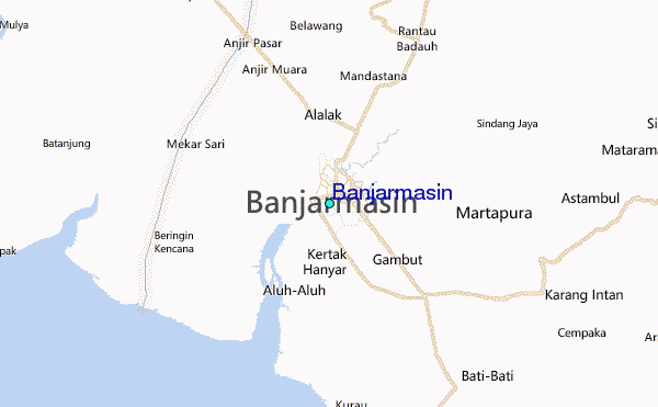
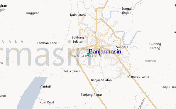
Use this relief map to navigate to tide stations, surf breaks and cities that are in the area of Banjarmasin.
Other Nearby Locations' tide tables and tide charts to Banjarmasin:
click location name for more details
 Surf breaks close to Banjarmasin:
|
||
|---|---|---|
| Closest surf break | Medewi | 353 mi |
| Second closest surf break | Balian | 359 mi |
| Third closest surf break | Gili Air-Pertama | 363 mi |
| Fourth closest surf break | Padangbai | 365 mi |
| Fifth closest surf break | Tanjung Kucur | 367 mi |

 Nearest
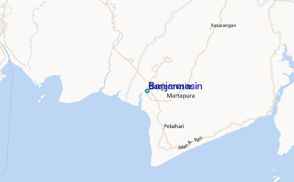