
| Distance / Altitude | Location | Report Date / Time | Live Weather | Wind | Gusts | Temp. | Visibility | Cloud |
|---|---|---|---|---|---|---|---|---|
| 4 km S / 24 m | Bandon (Oregon) | 2024-04-25 04:00 local (2024/04/25 11:00 GMT) | dry | light winds from the S (10 km/h at 180) | 11°C | - | - - 0 | |
| 17 km ESE / 53 m | Myrtle Point (Oregon) | 2024-04-25 04:44 local (2024/04/25 11:44 GMT) | dry | calm (0 km/h at 5) | 9°C | - | - - 0 | |
| 19 km NNE / 3 m | BUOY-SNTO3 (Marine) | 2024-04-25 03:30 local (2024/04/25 10:30 GMT) | - (0 km/h at -) | 10°C | - | |||
| 22 km NW / 3 m | BUOY-46128 (Marine) | 2024-04-25 03:50 local (2024/04/25 10:50 GMT) | - (- km/h at -) | — | - | |||
| 24 km ESE / 130 m | Myrtle Point (Oregon) | 2024-04-25 04:19 local (2024/04/25 11:19 GMT) | dry | calm (0 km/h at 0) | 9°C | - | - - 0 |
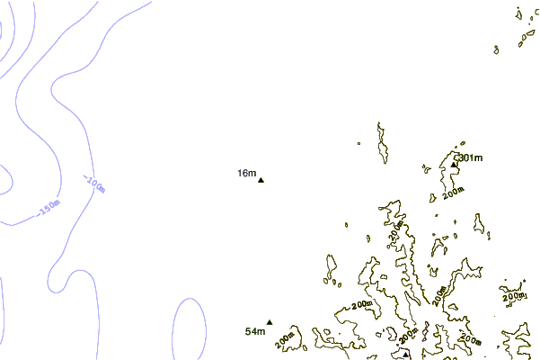
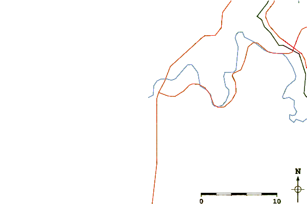
| Contours: | Roads & Rivers: | Select a
tide station / surf break / city |
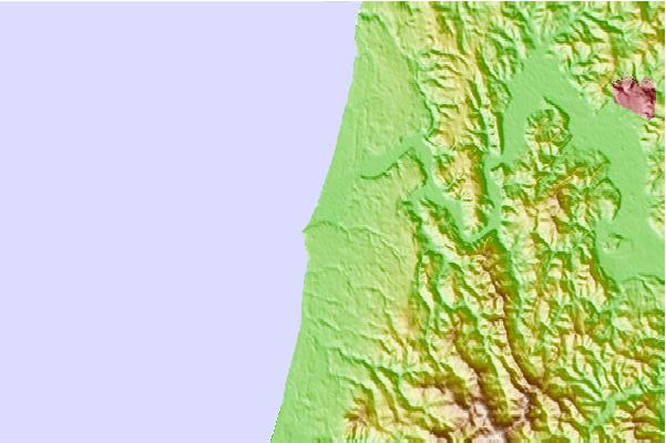
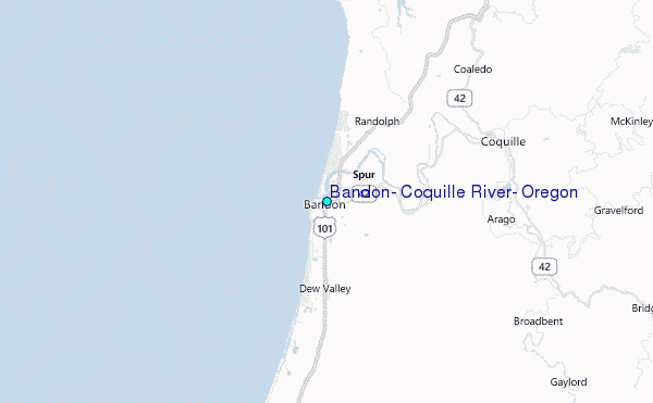
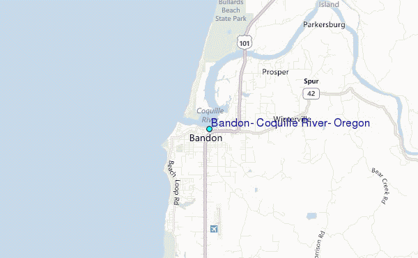
Use this relief map to navigate to tide stations, surf breaks and cities that are in the area of Bandon, Coquille River, Oregon.
Other Nearby Locations' tide tables and tide charts to Bandon, Coquille River, Oregon:
click location name for more details
 Surf breaks close to Bandon, Coquille River, Oregon:
|
||
|---|---|---|
| Closest surf break | Bandon Beaches | 2 mi |
| Second closest surf break | Simpsons Reef | 13 mi |
| Third closest surf break | Bastendorff Beach | 16 mi |
| Fourth closest surf break | Coos Bay Bastendorf Beach | 16 mi |
| Fifth closest surf break | Coos Bay-South Jetty | 16 mi |

 Nearest
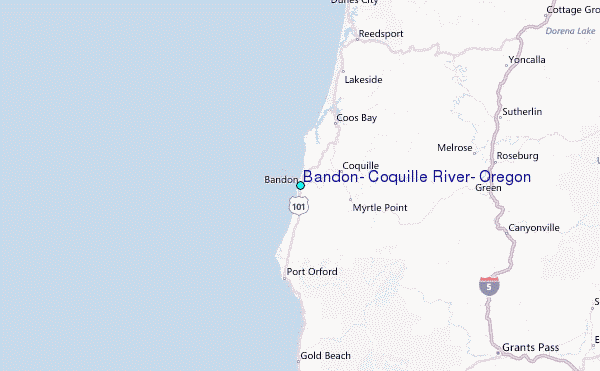