
| Distance / Altitude | Location | Report Date / Time | Live Weather | Wind | Gusts | Temp. | Visibility | Cloud |
|---|---|---|---|---|---|---|---|---|
| 6 km NE / 229 m | Kangirsuk Airport (Quebec) | 2024-04-25 12:58 local (2024/04/25 16:58 GMT) | - | moderate winds from the NW (28 km/h at 310) | -12°C | 24 | few | |
| 83 km SSE / 132 m | Aupaluk Airport (Quebec) | 2024-04-25 13:00 local (2024/04/25 17:00 GMT) | Low drifting moderate snow | fresh winds from the NW (37 km/h at 320) | -12°C | 24 | few | |
| 120 km NNE / 264 m | Quaqtaq Airport (Quebec) | 2024-04-25 13:00 local (2024/04/25 17:00 GMT) | - | light winds from the NW (19 km/h at 310) | -11°C | 24 | few few | |
| 147 km S / 274 m | Tasiujaq Airport (Quebec) | 2024-04-25 13:00 local (2024/04/25 17:00 GMT) | - | fresh winds from the NW (37 km/h at 320) | -11°C | 19 | few | |
| 203 km NW / 244 m | Kangiqsujuaq Airport (Quebec) | 2024-04-25 13:00 local (2024/04/25 17:00 GMT) | Dry and partly cloudy | moderate winds from the WNW (20 km/h at 300) | -11°C | 24 | scattered |
| Contours: | Roads & Rivers: | Select a
tide station / surf break / city |
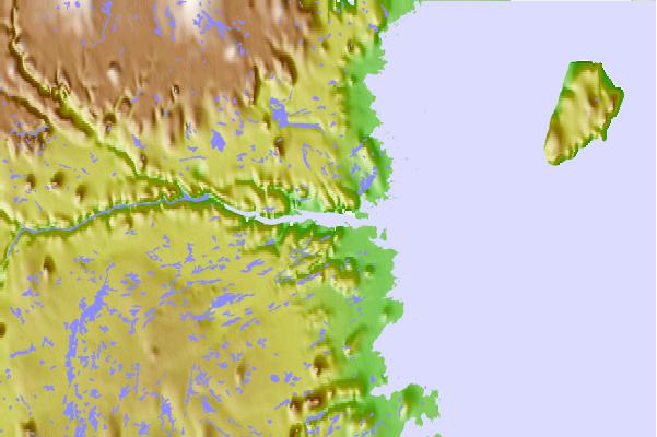
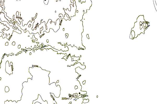
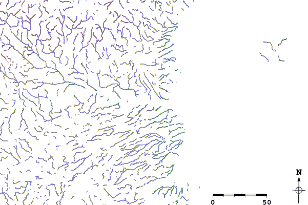
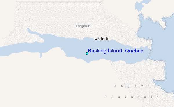
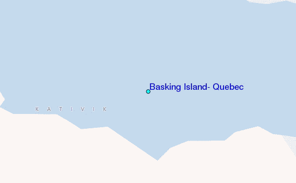
Use this relief map to navigate to tide stations, surf breaks and cities that are in the area of Basking Island, Quebec.
Other Nearby Locations' tide tables and tide charts to Basking Island, Quebec:
click location name for more details
 Surf breaks close to Basking Island, Quebec:
|
||
|---|---|---|
| Closest surf break | Ingonish Beach | 1003 mi |
| Second closest surf break | Marathon | 1017 mi |
| Third closest surf break | Kennington Cove | 1058 mi |
| Fourth closest surf break | Alona Bay | 1065 mi |
| Fifth closest surf break | Michaud Point | 1069 mi |

 Nearest
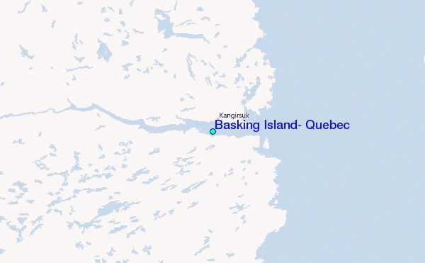