
| Distance / Altitude | Location | Report Date / Time | Live Weather | Wind | Gusts | Temp. | Visibility | Cloud |
|---|---|---|---|---|---|---|---|---|
| 6 km E / 4 m | Beaufort Executive Airport (South Carolina) (South Carolina) | 2024-04-19 09:35 local (2024/04/19 13:35 GMT) | Dry and partly cloudy | light winds from the W (7 km/h at 260) | 21°C | 16 | scattered | |
| 6 km NW / 219 m | Beaufort Marine Corps Air Station Airport (South Carolina) | 2024-04-19 08:56 local (2024/04/19 12:56 GMT) | Drizzle | light winds from the SW (6 km/h at 220) | 22°C | 11 | broken | |
| 21 km S / 4 m | Port Royal Plantation wx (United States) | 2024-04-19 09:14 local (2024/04/19 13:14 GMT) | dry | - (- km/h at ) | — | - | - - 0 | |
| 22 km S / 210 m | Hilton Head Airport (North Carolina) | 2024-04-19 08:50 local (2024/04/19 12:50 GMT) | Dry and partly cloudy | light winds from the W (7 km/h at 260) | 21°C | 16 | scattered | |
| 23 km SSW / 10.7 m | Bluffton (South Carolina) | 2024-04-19 10:00 local (2024/04/19 14:00 GMT) | dry | calm (0 km/h at 151) | 22°C | - | - - 0 |
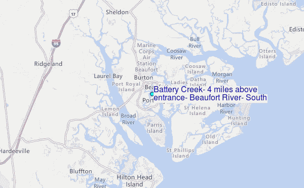
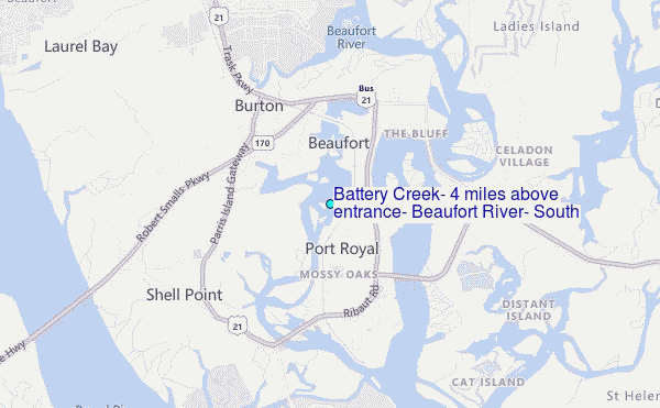
Choose Battery Creek, 4 miles above entrance, Beaufort River, South Carolina Location Map Zoom:
| Contours: | Roads & Rivers: | Select a
tide station / surf break / city |
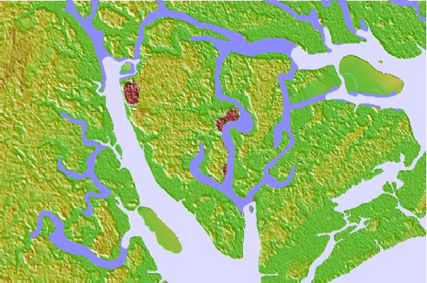
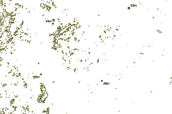
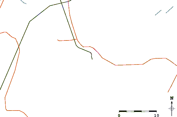
Use this relief map to navigate to tide stations, surf breaks and cities that are in the area of Battery Creek, 4 miles above entrance, Beaufort River, South Carolina.
Other Nearby Locations' tide tables and tide charts to Battery Creek, 4 miles above entrance, Beaufort River, South Carolina:
click location name for more details
 Surf breaks close to Battery Creek, 4 miles above entrance, Beaufort River, South Carolina:
|
||
|---|---|---|
| Closest surf break | Hunting Island | 16 mi |
| Second closest surf break | Edisto Beach | 25 mi |
| Third closest surf break | North Jetty | 28 mi |
| Fourth closest surf break | Sugar Shack | 29 mi |
| Fifth closest surf break | 2nd Street | 30 mi |

 Nearest
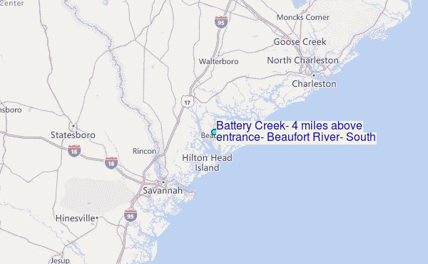