
| Distance / Altitude | Location | Report Date / Time | Live Weather | Wind | Gusts | Temp. | Visibility | Cloud |
|---|---|---|---|---|---|---|---|---|
| 71 km N / - m | SHIP8498 (ocean) | 2024-04-25 14:00 local (2024/04/25 06:00 GMT) | Clear skies | moderate winds from the E (26 km/h at 90) | 33°C | 10 km | clear | |
| 71 km NE / 415 m | Troughton Island (Australia) | 2024-04-25 16:00 local (2024/04/25 08:00 GMT) | - | moderate winds from the E (28 km/h at 80) | 30°C | - | no observation | |
| 85 km E / 52 m | Truscott (Australia) | 2024-04-25 16:00 local (2024/04/25 08:00 GMT) | Clear skies | moderate winds from the ENE (20 km/h at 70) | 32°C | - | - no observation - | |
| 113 km E / 155 m | Kalumburu (Australia) | 2024-04-25 16:00 local (2024/04/25 08:00 GMT) | - | light winds from the ENE (11 km/h at 70) | 33°C | - | no observation | |
| 304 km SW / 6 m | AdeleIsland (Australia) | 2024-04-25 16:00 local (2024/04/25 08:00 GMT) | no report | light winds from the ENE (11 km/h at 60) | 30°C | - | - no observation - |

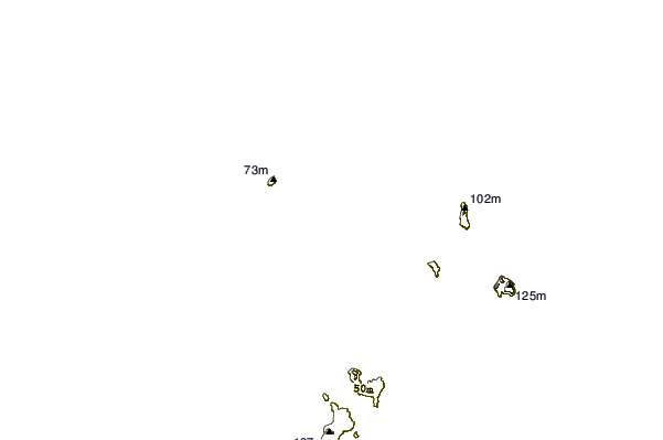
| Contours: | Roads & Rivers: | Select a
tide station / surf break / city |
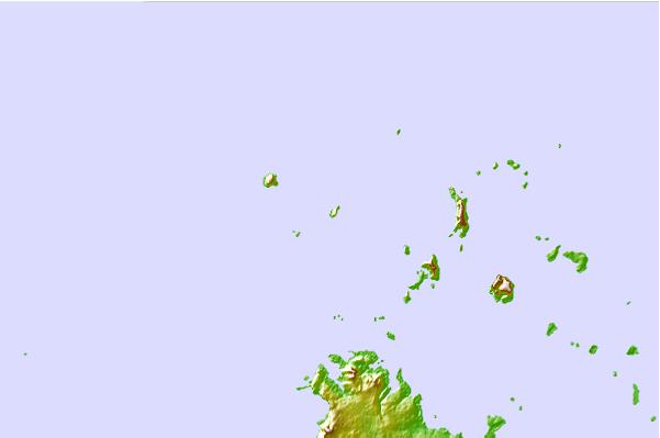
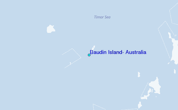
Use this relief map to navigate to tide stations, surf breaks and cities that are in the area of Baudin Island, Australia.
Other Nearby Locations' tide tables and tide charts to Baudin Island, Australia:
click location name for more details
 Surf breaks close to Baudin Island, Australia:
|
||
|---|---|---|
| Closest surf break | Ndana | 287 mi |
| Second closest surf break | Nembrala | 288 mi |
| Third closest surf break | Boa | 288 mi |
| Fourth closest surf break | Peanuts | 290 mi |
| Fifth closest surf break | T-Land | 292 mi |

 Nearest
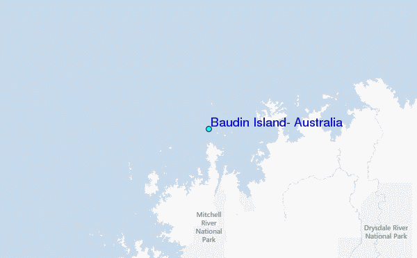