
| Distance / Altitude | Location | Report Date / Time | Live Weather | Wind | Gusts | Temp. | Visibility | Cloud |
|---|---|---|---|---|---|---|---|---|
| 15 km S / 70 m | Bristol (United Kingdom) | 2024-04-16 16:39 local (2024/04/16 15:39 GMT) | dry | light winds from the NNE (8 km/h at 19) | 13°C | - | - - 0 | |
| 17 km ESE / 81 m | Yate wx (United Kingdom) | 2024-04-16 16:19 local (2024/04/16 15:19 GMT) | dry | calm (5 km/h at 331) | 14°C | - | - - 0 | |
| 17 km SSE / 105 m | Bristol (United Kingdom) | 2024-04-16 16:49 local (2024/04/16 15:49 GMT) | dry | light winds from the NW (6 km/h at 310) | 12°C | - | - - 0 | |
| 19 km NNE / 119 m | Blakeney wx (United Kingdom) | 2024-04-16 16:34 local (2024/04/16 15:34 GMT) | dry | light winds from the NNW (6 km/h at 347) | 12°C | - | - - 0 | |
| 20 km S / 43 m | Nailsea wx (United Kingdom) | 2024-04-16 16:45 local (2024/04/16 15:45 GMT) | dry | - (- km/h at ) | — | - | - - 0 |
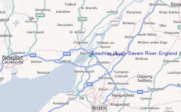
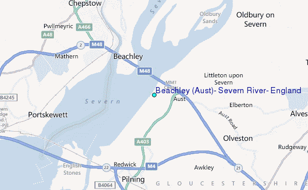
Choose Beachley (Aust), Severn River, England Location Map Zoom:
| Contours: | Roads & Rivers: | Select a
tide station / surf break / city |
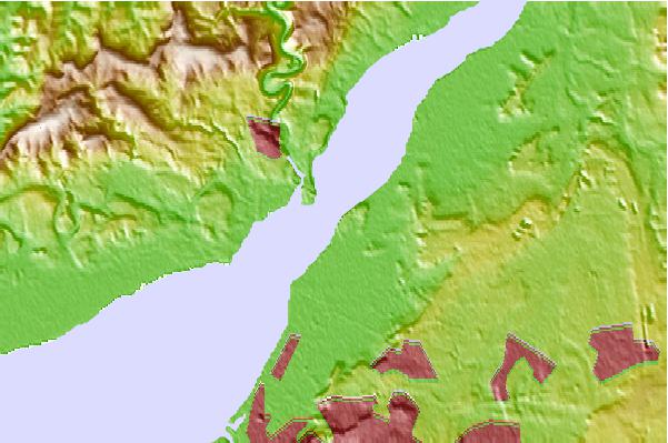
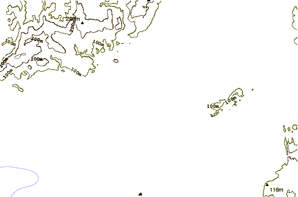
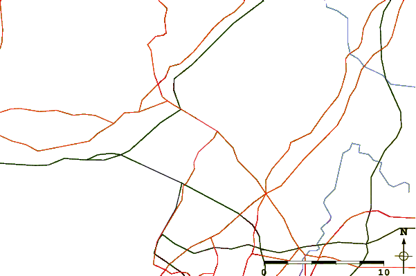
Use this relief map to navigate to tide stations, surf breaks and cities that are in the area of Beachley (Aust), Severn River, England.
Other Nearby Locations' tide tables and tide charts to Beachley (Aust), Severn River, England:
click location name for more details
 Surf breaks close to Beachley (Aust), Severn River, England:
|
||
|---|---|---|
| Closest surf break | The Knap | 32 mi |
| Second closest surf break | Gileston | 37 mi |
| Third closest surf break | Llantwit Major | 40 mi |
| Fourth closest surf break | Southerndown | 44 mi |
| Fifth closest surf break | Ogmore-by-Sea | 44 mi |

 Nearest
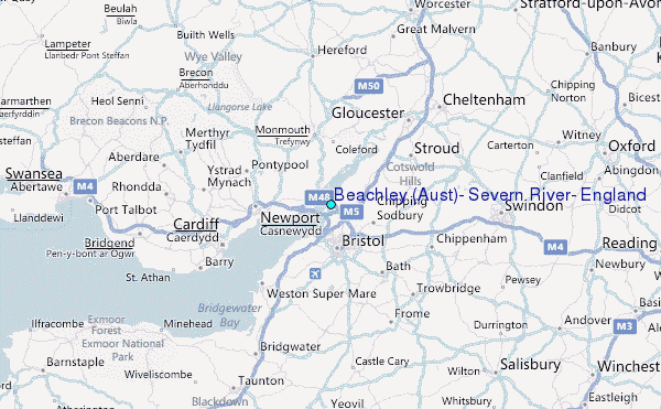