
| Distance / Altitude | Location | Report Date / Time | Live Weather | Wind | Gusts | Temp. | Visibility | Cloud |
|---|---|---|---|---|---|---|---|---|
| 6 km SE / 116 m | St. Phillips (Canada) | 2024-04-25 02:43 local (2024/04/25 05:13 GMT) | dry | moderate winds from the SSE (26 km/h at 148) | 8°C | - | - - 0 | |
| 7 km ESE / 130 m | Portugal Cove (Canada) | 2024-04-25 03:07 local (2024/04/25 05:37 GMT) | dry | calm (0 km/h at 175) | 8°C | - | - - 0 | |
| 16 km E / 216 m | Saint John's Airport (Newfoundland) | 2024-04-25 03:01 local (2024/04/25 05:31 GMT) | Light rain | fresh winds from the S (37 km/h at 170) | 7°C | 5 | overcast | |
| 16 km ESE / 158 m | St. John's Fisheries and Marine Institute (Canada) | 2024-04-25 02:30 local (2024/04/25 05:00 GMT) | no report | moderate winds from the SSW (25 km/h at 200) | 10°C | - | - | |
| 18 km ESE / 15 m | SHIP1446 (Marine) | 2024-04-25 03:30 local (2024/04/25 06:00 GMT) | light winds from the SSE (16.56 km/h at 160) | — | - km |
| Contours: | Roads & Rivers: | Select a
tide station / surf break / city |
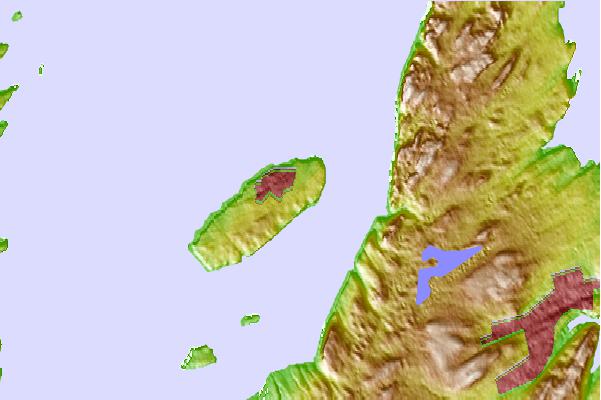
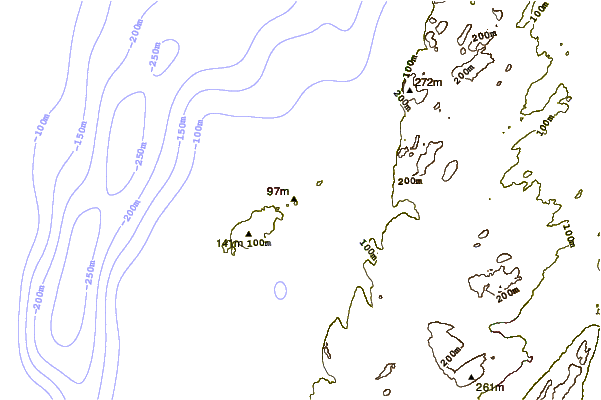
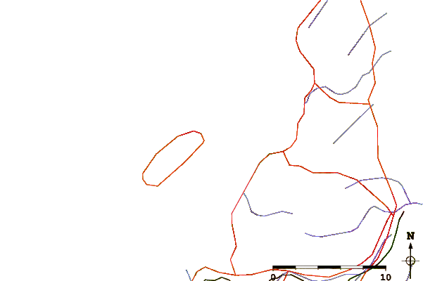
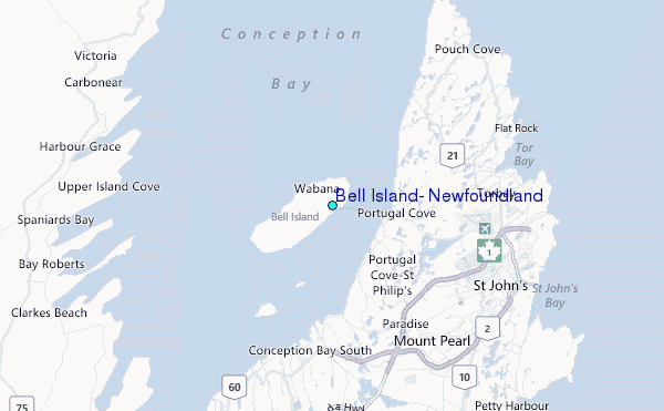
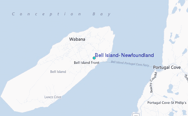
Use this relief map to navigate to tide stations, surf breaks and cities that are in the area of Bell Island, Newfoundland.
Other Nearby Locations' tide tables and tide charts to Bell Island, Newfoundland:
click location name for more details
 Surf breaks close to Bell Island, Newfoundland:
|
||
|---|---|---|
| Closest surf break | Ingonish Beach | 357 mi |
| Second closest surf break | Kennington Cove | 359 mi |
| Third closest surf break | Michaud Point | 395 mi |
| Fourth closest surf break | Martinique | 530 mi |
| Fifth closest surf break | Lawrencetown Left Point | 539 mi |

 Nearest
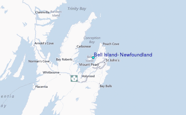