
| Distance / Altitude | Location | Report Date / Time | Live Weather | Wind | Gusts | Temp. | Visibility | Cloud |
|---|---|---|---|---|---|---|---|---|
| 6 km SSW / 190 m | Bitung (Indonesia (sulawesi)) | 2024-04-24 14:00 local (2024/04/24 06:00 GMT) | Clouds developing | light winds from the E (11 km/h at 80) | 33°C | 33 km | scattered | |
| 34 km WSW / 374 m | Menado/Sam Ratulangi International Airport (Indonesia) | 2024-04-24 15:30 local (2024/04/24 07:30 GMT) | - | light winds from the ENE.(Wind varies from 030 to 110 degs) (15 km/h at 70) | 32°C | 10.0 | few | |
| 34 km W / 80 m | MenadoSamRatulangi (Indonesia) | 2024-04-24 14:00 local (2024/04/24 06:00 GMT) | State of sky unchanged | light winds from the ENE (17 km/h at 60) | 32°C | 30 km | - scattered - | |
| 190 km NE / 3 m | SHIP13144 (Marine) | 2024-04-24 15:00 local (2024/04/24 07:00 GMT) | - (- km/h at -) | 30°C | - | |||
| 249 km N / 38 m | NahaTahuna (Indonesia) | 2024-04-24 14:00 local (2024/04/24 06:00 GMT) | - | light winds from the ENE (13 km/h at 70) | 31°C | 27 km | scattered |
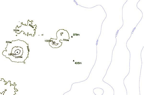
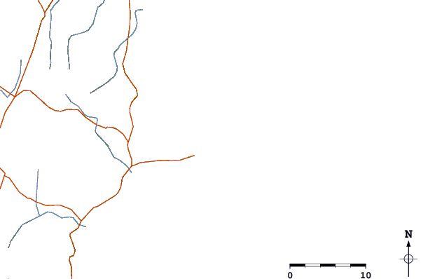
| Contours: | Roads & Rivers: | Select a
tide station / surf break / city |
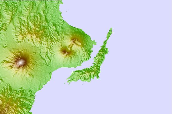
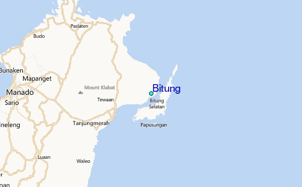
Use this relief map to navigate to tide stations, surf breaks and cities that are in the area of Bitung.
Other Nearby Locations' tide tables and tide charts to Bitung:
click location name for more details
 Surf breaks close to Bitung:
|
||
|---|---|---|
| Closest surf break | Tago River | 526 mi |
| Second closest surf break | Marami Beach | 531 mi |
| Third closest surf break | Lanuza Rivermouth | 540 mi |
| Fourth closest surf break | Big Star | 541 mi |
| Fifth closest surf break | Moshi-Moshi | 543 mi |

 Nearest
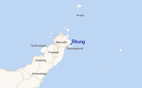