
| Distance / Altitude | Location | Report Date / Time | Live Weather | Wind | Gusts | Temp. | Visibility | Cloud |
|---|---|---|---|---|---|---|---|---|
| 29 km W / 243 m | Thoms Place wx (United States) | 2026-06-08 23:43 local (2026/06/09 07:43 GMT) | dry | calm (5 km/h at 89) | 9°C | - | - - 0 | |
| 40 km WNW / 3 m | BUOY-WGXA2 (Marine) | 2026-06-08 23:32 local (2026/06/09 07:32 GMT) | calm (4 km/h at 60) | 11°C | - | |||
| 41 km WNW / 215 m | Wrangell Airport (Alaska) | 2026-06-08 21:56 local (2026/06/09 05:56 GMT) | - | light winds from the SW (9 km/h at 220) | 11°C | 16 | few | |
| 51 km SW / 3 m | BUOY-LCNA2 (Marine) | 2026-06-08 23:10 local (2026/06/09 07:10 GMT) | calm (5 km/h at 120) | 11°C | - | |||
| 55 km S / 15 m | SHIP6269 (Marine) | 2026-06-08 21:00 local (2026/06/09 05:00 GMT) | light winds from the SSE (11.16 km/h at 160) | — | - km | |||
| 55 km S / 3 m | SHIP9657 (Marine) | 2026-06-08 21:00 local (2026/06/09 05:00 GMT) | light winds from the SSE (11 km/h at 160) | 11°C | - | |||
| 55 km S / 3 m | SHIP3816 (Marine) | 2026-06-08 21:00 local (2026/06/09 05:00 GMT) | light winds from the SSE (11 km/h at 160) | 11°C | - | |||
| 55 km S / 15 m | SHIP11098 (Marine) | 2026-06-08 21:00 local (2026/06/09 05:00 GMT) | light winds from the SSE (11.16 km/h at 160) | — | - km | |||
| 59 km SSW / 15 m | SHIP5578 (Marine) | 2026-06-08 21:00 local (2026/06/09 05:00 GMT) | light winds from the SE (14.76 km/h at 130) | — | - km | |||
| 59 km SSW / 15 m | SHIP6344 (Marine) | 2026-06-08 21:00 local (2026/06/09 05:00 GMT) | light winds from the SE (14.76 km/h at 130) | — | - km |
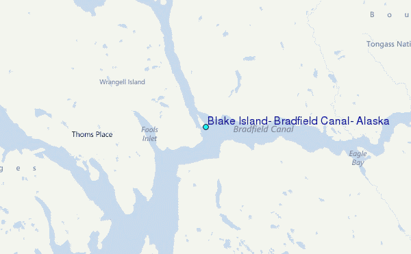
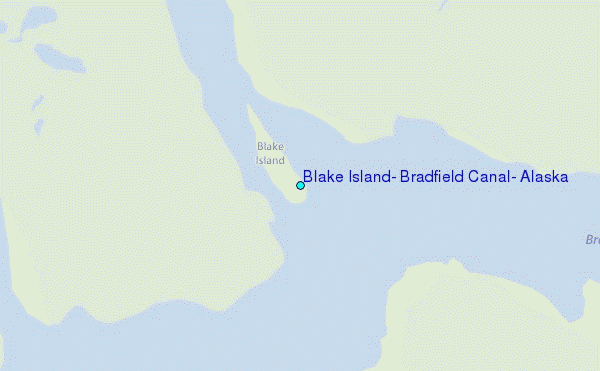
Choose Blake Island, Bradfield Canal, Alaska Location Map Zoom:
| Contours: | Roads & Rivers: | Select a
tide station / surf break / city |
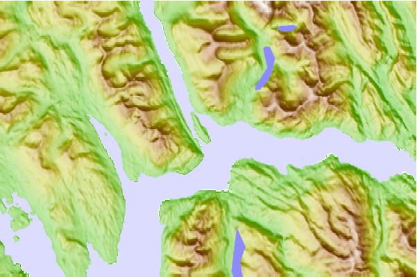
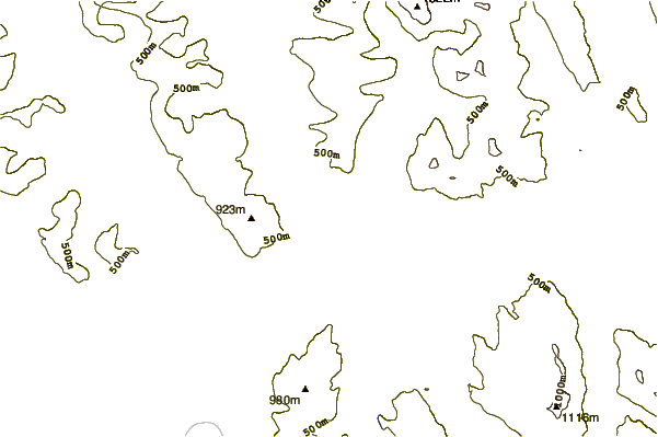
Use this relief map to navigate to tide stations, surf breaks and cities that are in the area of Blake Island, Bradfield Canal, Alaska.
Other Nearby Locations' tide tables and tide charts to Blake Island, Bradfield Canal, Alaska:
click location name for more details
 Surf breaks close to Blake Island, Bradfield Canal, Alaska:
|
||
|---|---|---|
| Closest surf break | Tow Hill Beach | 148 mi |
| Second closest surf break | Lepus Beach (Haida-Gwaii) | 149 mi |
| Third closest surf break | Cannon Beach | 367 mi |
| Fourth closest surf break | Graveyards | 370 mi |
| Fifth closest surf break | Ocean Cape | 372 mi |


 Nearest
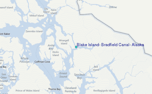