
| Distance / Altitude | Location | Report Date / Time | Live Weather | Wind | Gusts | Temp. | Visibility | Cloud |
|---|---|---|---|---|---|---|---|---|
| 9 km N / 102.4 m | Bodega Bay (California) | 2026-06-09 05:02 local (2026/06/09 12:02 GMT) | dry | calm (0 km/h at 36) | 12°C | - | - - 0 | |
| 12 km NE / 298 m | Occidental (California) | 2026-06-09 05:40 local (2026/06/09 12:40 GMT) | dry | calm (3 km/h at 270) | 12°C | - | - - 0 | |
| 16 km NNE / 61 m | Camp Meeker wx (United States) | 2026-06-09 05:50 local (2026/06/09 12:50 GMT) | dry | calm (0 km/h at 329) | 12°C | - | - - 0 | |
| 18 km SE / 10 m | McDonald wx (United States) | 2026-06-09 05:50 local (2026/06/09 12:50 GMT) | dry | calm (0 km/h at 0) | 13°C | - | - - 0 | |
| 18 km NE / 61 m | Camp Meeker wx (United States) | 2026-06-09 05:12 local (2026/06/09 12:12 GMT) | dry | calm (3 km/h at 270) | 12°C | - | - - 0 | |
| 18 km NE / 61 m | Camp Meeker wx (United States) | 2026-06-09 05:35 local (2026/06/09 12:35 GMT) | dry | calm (2 km/h at 286) | 12°C | - | - - 0 | |
| 19 km NE / 129 m | Sebastopol (California) | 2026-06-09 05:23 local (2026/06/09 12:23 GMT) | dry | calm (0 km/h at 146) | 12°C | - | - - 0 | |
| 20 km NE / 87 m | Graton (California) | 2026-06-09 05:51 local (2026/06/09 12:51 GMT) | dry | calm (0 km/h at 28) | 12°C | - | - - 0 | |
| 21 km ENE / 88 m | Knowles Corner wx (United States) | 2026-06-09 05:08 local (2026/06/09 12:08 GMT) | dry | calm (0 km/h at ) | 14°C | - | - - 0 | |
| 22 km ENE / 69 m | Alten wx (United States) | 2026-06-09 04:52 local (2026/06/09 11:52 GMT) | dry | calm (0 km/h at 117) | 13°C | - | - - 0 |
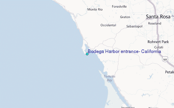
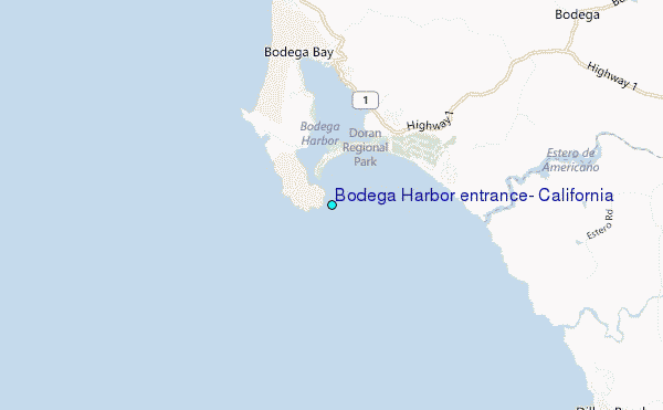
Choose Bodega Harbor entrance, California Location Map Zoom:
| Contours: | Roads & Rivers: | Select a
tide station / surf break / city |
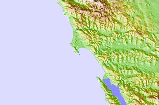
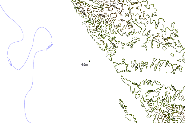
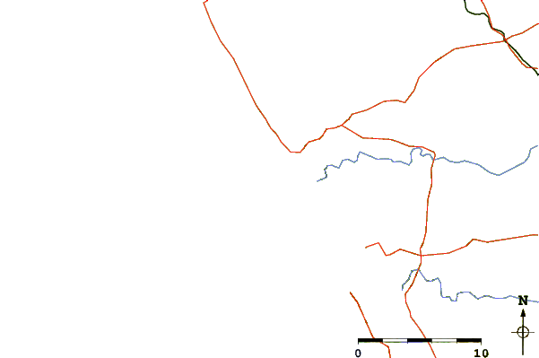
Use this relief map to navigate to tide stations, surf breaks and cities that are in the area of Bodega Harbor entrance, California.
Other Nearby Locations' tide tables and tide charts to Bodega Harbor entrance, California:
click location name for more details
 Surf breaks close to Bodega Harbor entrance, California:
|
||
|---|---|---|
| Closest surf break | Doran Beach | 1 mi |
| Second closest surf break | Salmon Creek | 4 mi |
| Third closest surf break | Dillon Beach | 6 mi |
| Fourth closest surf break | Shark Pit | 6 mi |
| Fifth closest surf break | Goat Rock | 11 mi |


 Nearest
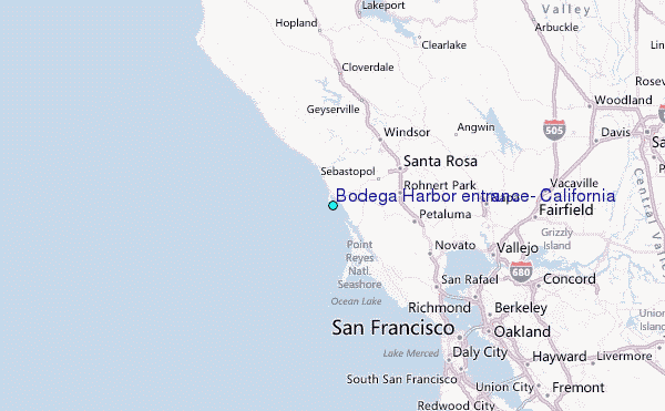