
| Distance / Altitude | Location | Report Date / Time | Live Weather | Wind | Gusts | Temp. | Visibility | Cloud |
|---|---|---|---|---|---|---|---|---|
| 102 km SSE / 3 m | SHIP15 (Marine) | 2024-04-18 16:00 local (2024/04/18 16:00 GMT) | - (- km/h at -) | 35°C | - | |||
| 142 km NW / 273 m | Freetown/Lungi International Airport (Sierra Leone) | 2024-04-18 16:00 local (2024/04/18 16:00 GMT) | Dry and partly cloudy | light winds from the WSW (13 km/h at 240) | 31°C | 10.0 | broken | |
| 258 km NW / 337 m | Conakry/Gbessia-Internationa Airport (Guinea-bissau) | 2024-04-18 17:00 local (2024/04/18 17:00 GMT) | Dry and partly cloudy | light winds from the W (15 km/h at 270) | 30°C | 5.0 | broken | |
| 258 km NW / 26 m | ConakryGbessia (Guinea) | 2024-04-18 16:00 local (2024/04/18 16:00 GMT) | Visibility reduced by smoke | moderate winds from the W (26 km/h at 280) | 31°C | 5.0 km | - mostly cloudy - | |
| 279 km ESE / 414 m | Roberts International Airport/Monrovia (Liberia) | 2024-04-18 17:00 local (2024/04/18 17:00 GMT) | Dry and partly cloudy | wind obs. (148 kph from 200 degs) was rejected (- km/h at -) | 32°C | 10.0 | few few - |
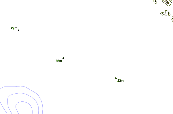
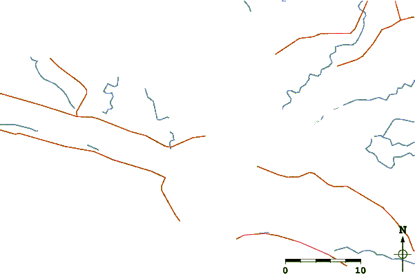
| Contours: | Roads & Rivers: | Select a
tide station / surf break / city |
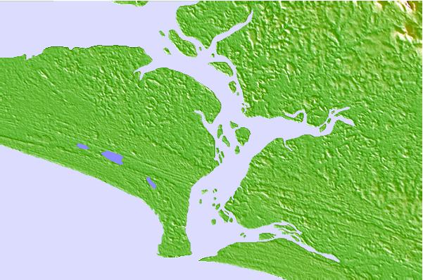
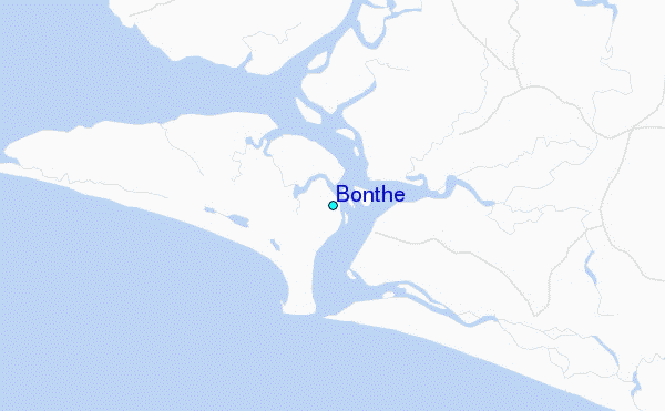
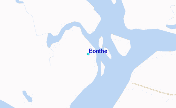
Use this relief map to navigate to tide stations, surf breaks and cities that are in the area of Bonthe.
Other Nearby Locations' tide tables and tide charts to Bonthe:
click location name for more details
 Surf breaks close to Bonthe:
|
||
|---|---|---|
| Closest surf break | Baki (Turtle Islands) | 36 mi |
| Second closest surf break | Baki (Turtle Islands) | 37 mi |
| Third closest surf break | Burreh Beach | 65 mi |
| Fourth closest surf break | River No. 2 | 74 mi |
| Fifth closest surf break | Sulima | 75 mi |

 Nearest
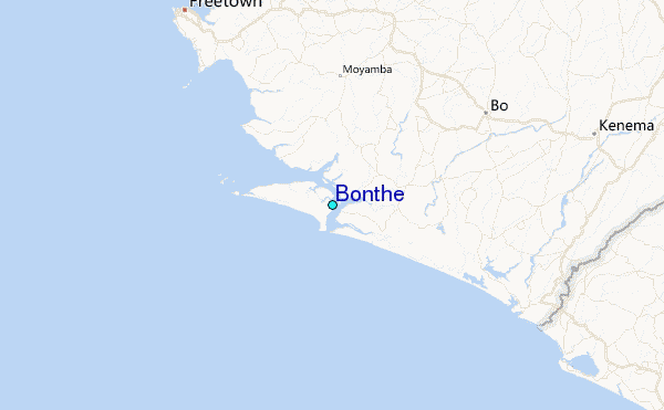