
| Distance / Altitude | Location | Report Date / Time | Live Weather | Wind | Gusts | Temp. | Visibility | Cloud |
|---|---|---|---|---|---|---|---|---|
| 2 km SSW / 21 m | Bosaso Airport (Somalia) | 2024-04-24 11:00 local (2024/04/24 08:00 GMT) | - | moderate winds from the NE (20 km/h at 50) | 31°C | 10.0 | few | |
| 295 km W / 15 m | ASCATB47E12N (Marine) | 2024-04-24 09:57 local (2024/04/24 06:57 GMT) | light winds from the E (12 km/h at 89) | — | - km | |||
| 327 km W / 15 m | ASCATB47E13N (Marine) | 2024-04-24 09:56 local (2024/04/24 06:56 GMT) | light winds from the E (15 km/h at 85) | — | - km | |||
| 397 km WSW / 15 m | ASCATB46E11N (Marine) | 2024-04-24 09:57 local (2024/04/24 06:57 GMT) | light winds from the ENE (12 km/h at 77) | — | - km | |||
| 401 km WSW / 15 m | ASCATB46E12N (Marine) | 2024-04-24 09:57 local (2024/04/24 06:57 GMT) | light winds from the E (11 km/h at 94) | — | - km |
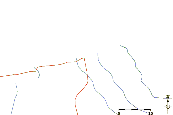
| Contours: | Roads & Rivers: | Select a
tide station / surf break / city |
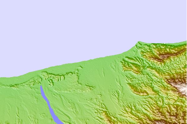
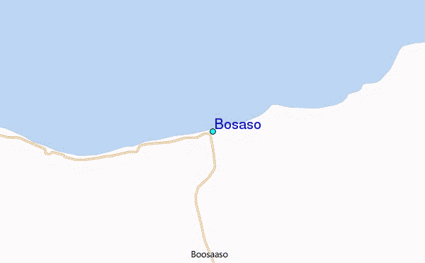
Use this relief map to navigate to tide stations, surf breaks and cities that are in the area of Bosaso.
Other Nearby Locations' tide tables and tide charts to Bosaso:
click location name for more details
 Surf breaks close to Bosaso:
|
||
|---|---|---|
| Closest surf break | Pirights | 147 mi |
| Second closest surf break | Qulansiyah | 308 mi |
| Third closest surf break | Ras Kaydah | 891 mi |
| Fourth closest surf break | Haqal | 893 mi |
| Fifth closest surf break | Ras Al Ya | 911 mi |

 Nearest
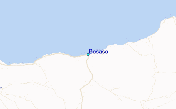