
| Distance / Altitude | Location | Report Date / Time | Live Weather | Wind | Gusts | Temp. | Visibility | Cloud |
|---|---|---|---|---|---|---|---|---|
| 1 km NNE / 3 m | BUOY-BHBM3 (Marine) | 2024-04-16 04:00 local (2024/04/16 08:00 GMT) | - (- km/h at -) | 12°C | - | |||
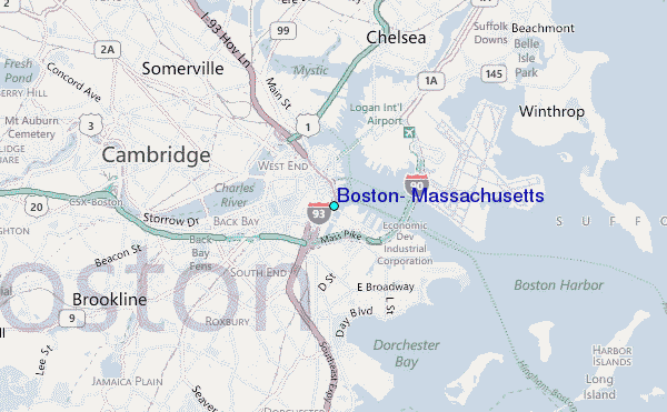
| 2 km SSW / 25 m | Boston (Massachusetts) | 2024-04-16 04:40 local (2024/04/16 08:40 GMT) | dry | calm (0 km/h at 22) | 11°C | - | - - 0 | |
| 3 km WSW / 94 m | Cambridge (Massachusetts) | 2024-04-16 04:11 local (2024/04/16 08:11 GMT) | - | calm (3 km/h at 0) | 11°C | - | - - 0 | |
| 3 km ENE / 218 m | Boston Airport (Massachusetts) | 2024-04-16 02:54 local (2024/04/16 06:54 GMT) | - | light winds from the WNW (9 km/h at 300) | 11°C | 16 | few | |
| 5 km W / 14 m | Cambridgeport wx (United States) | 2024-04-16 04:00 local (2024/04/16 08:00 GMT) | dry | calm (0 km/h at ) | 9°C | - | - - 0 |
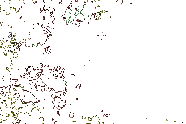
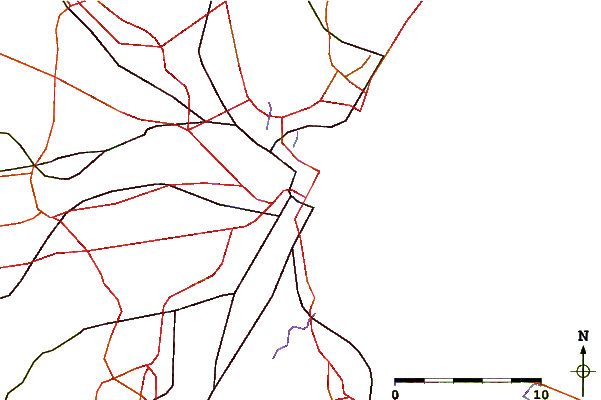
| Contours: | Roads & Rivers: | Select a
tide station / surf break / city |
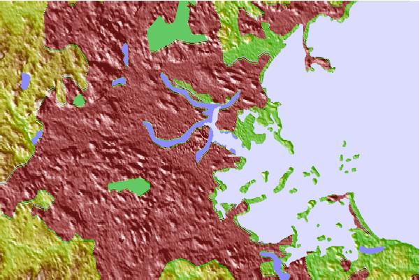
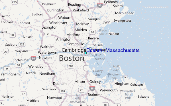
Use this relief map to navigate to tide stations, surf breaks and cities that are in the area of Boston, Massachusetts.
Other Nearby Locations' tide tables and tide charts to Boston, Massachusetts:
click location name for more details
 Surf breaks close to Boston, Massachusetts:
|
||
|---|---|---|
| Closest surf break | Winthrop Jetty | 5 mi |
| Second closest surf break | Nahant Beach | 9 mi |
| Third closest surf break | Nantasket Beach | 9 mi |
| Fourth closest surf break | Lynne Beach | 11 mi |
| Fifth closest surf break | Prestons | 16 mi |

 Nearest
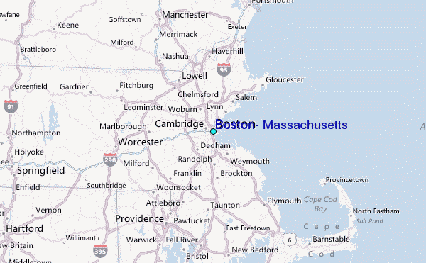