
| Distance / Altitude | Location | Report Date / Time | Live Weather | Wind | Gusts | Temp. | Visibility | Cloud |
|---|---|---|---|---|---|---|---|---|
| 103 km SSE / 9 m | Hall Beach (Canada) | 2026-06-09 00:00 local (2026/06/09 04:00 GMT) | no report | wind obs. (22 kph from 300 degs) was rejected (- km/h at -) | 1°C | - | - - - | |
| 104 km SSE / 210 m | Hall Beach Airport (N.w. Territories) | 2026-06-08 23:00 local (2026/06/09 03:00 GMT) | Clear | light winds from the SSE (7 km/h at 150) | -1°C | 14 | ||
| 326 km SW / 17 m | Kugaaruk Climate (Canada) | 2026-06-09 00:00 local (2026/06/09 04:00 GMT) | no report | wind obs. (7 kph from 10 degs) was rejected (- km/h at -) | 2°C | - | - no observation - | |
| 371 km NNE / 217 m | Pond Inlet Airport (N.w. Territories) | 2026-06-08 23:00 local (2026/06/09 03:00 GMT) | Dry and cloudy | wind obs. (7 kph from 240 degs) was rejected (- km/h at -) | 1°C | 14 | broken overcast | |
| 373 km NNE / 62 m | Pond Inlet A- NU (Canada) | 2026-06-09 00:00 local (2026/06/09 04:00 GMT) | no report | wind obs. (7 kph from 230 degs) was rejected (- km/h at -) | 2°C | - | - | |
| 388 km NW / 10 m | Arctic Bay Cs- NU (Canada) | 2026-06-08 23:00 local (2026/06/09 03:00 GMT) | no report | wind obs. (14 kph from 320 degs) was rejected (- km/h at -) | 2°C | - | - no observation - | |
| 389 km NW / 2 m | Arctic Bay Airport (N.w. Territories) | 2026-06-08 23:00 local (2026/06/09 03:00 GMT) | - | strong winds from the S (41 km/h at 170) | 4°C | 0.0 | ||
| 442 km WSW / 191 m | Spence Bay Airport (N.w. Territories) | 2026-06-08 23:00 local (2026/06/09 03:00 GMT) | - | moderate winds from the SSE (28 km/h at 150) | 6°C | 24 | few | |
| 443 km WSW / 27 m | Taloyoak (Canada) | 2026-06-08 23:00 local (2026/06/09 03:00 GMT) | - | moderate winds from the SSE (26 km/h at 150) | 6°C | 44 km | - clear - | |
| 513 km WNW / 10 m | Fort Ross- NU (Canada) | 2026-06-08 23:00 local (2026/06/09 03:00 GMT) | no report | wind obs. (18 kph from 320 degs) was rejected (- km/h at -) | 2°C | - | - - - |
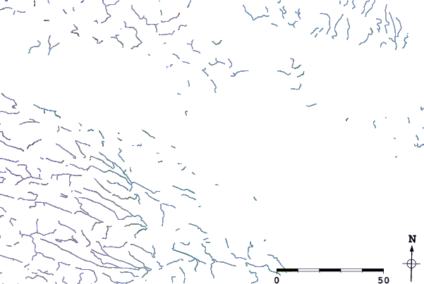
| Contours: | Roads & Rivers: | Select a
tide station / surf break / city |
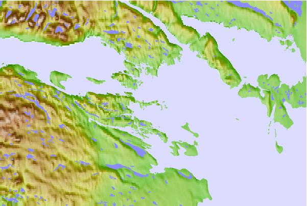
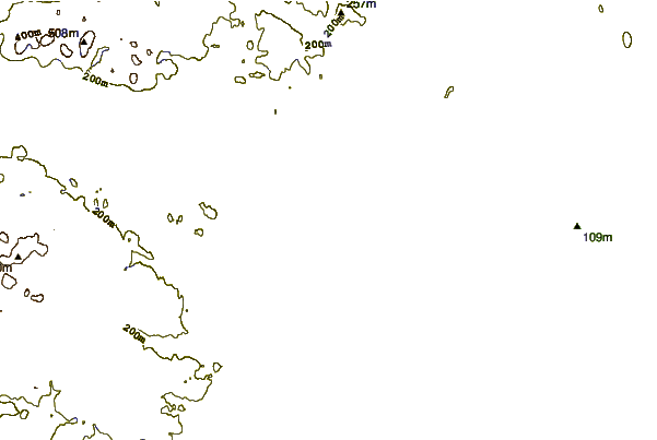
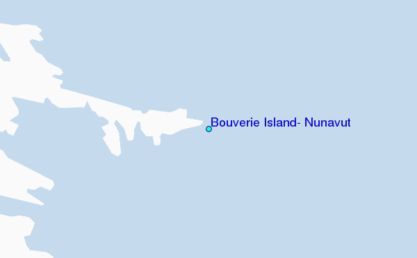
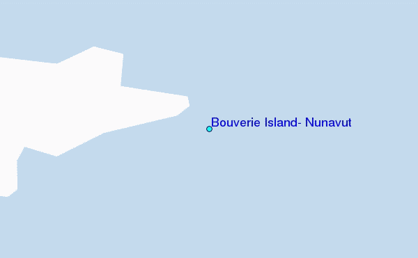
Use this relief map to navigate to tide stations, surf breaks and cities that are in the area of Bouverie Island, Nunavut.
Other Nearby Locations' tide tables and tide charts to Bouverie Island, Nunavut:
click location name for more details
 Surf breaks close to Bouverie Island, Nunavut:
|
||
|---|---|---|
| Closest surf break | Marathon | 1452 mi |
| Second closest surf break | Keweenaw Peninsula | 1546 mi |
| Third closest surf break | Alona Bay | 1556 mi |
| Fourth closest surf break | Apostle Islands | 1585 mi |
| Fifth closest surf break | Ontonagon | 1591 mi |


 Nearest
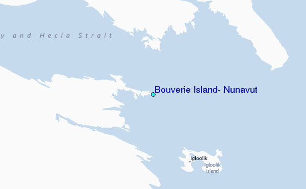