
| Distance / Altitude | Location | Report Date / Time | Live Weather | Wind | Gusts | Temp. | Visibility | Cloud |
|---|---|---|---|---|---|---|---|---|
| 0 km SSE / 3 m | BUOY-BRHC3 (Marine) | 2024-04-18 01:00 local (2024/04/18 05:00 GMT) | light winds from the E (17 km/h at 90) | 8°C | - | |||
| 4 km E / 200 m | Bridgeport Airport (Connecticut) | 2024-04-17 23:52 local (2024/04/18 03:52 GMT) | Light rain | fresh winds from the ENE (30 km/h at 70) | 8°C | 14 | broken overcast | |
| 20 km NW / 146 m | Monroe (Connecticut) | 2024-04-18 01:36 local (2024/04/18 05:36 GMT) | dry | calm (0 km/h at 9) | 13°C | - | - - 0 | |
| 26 km ENE / 3 m | BUOY-NWHC3 (Marine) | 2024-04-18 01:00 local (2024/04/18 05:00 GMT) | light winds from the ESE (8 km/h at 110) | 8°C | - | |||
| 28 km ENE / 218 m | New Haven/Tweed Airport (Connecticut) | 2024-04-17 23:53 local (2024/04/18 03:53 GMT) | Light rain | light winds from the E (13 km/h at 80) | 9°C | 10 | broken overcast |
| Contours: | Roads & Rivers: | Select a
tide station / surf break / city |
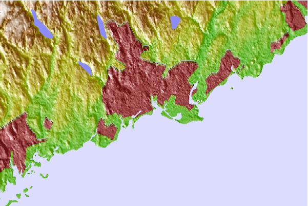
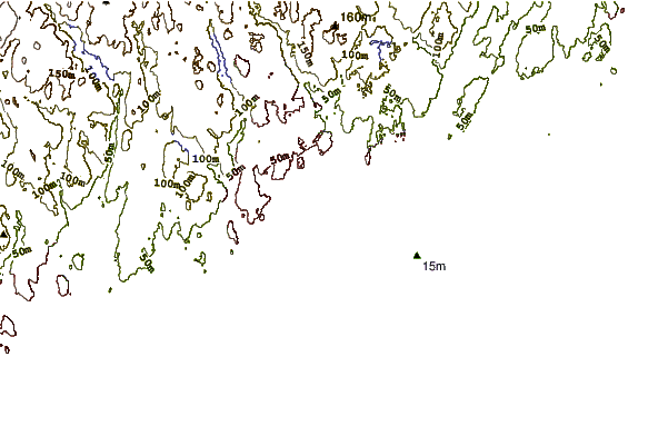
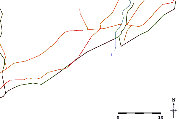
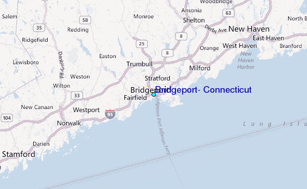
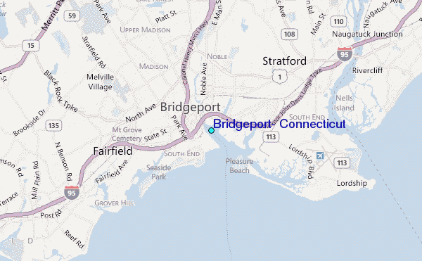
Use this relief map to navigate to tide stations, surf breaks and cities that are in the area of Bridgeport, Connecticut.
Other Nearby Locations' tide tables and tide charts to Bridgeport, Connecticut:
click location name for more details
 Surf breaks close to Bridgeport, Connecticut:
|
||
|---|---|---|
| Closest surf break | Fire Island | 35 mi |
| Second closest surf break | Point o Woods | 36 mi |
| Third closest surf break | Cupsogue | 37 mi |
| Fourth closest surf break | Coastguards | 38 mi |
| Fifth closest surf break | Jetty | 38 mi |

 Nearest
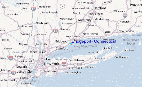