
| Distance / Altitude | Location | Report Date / Time | Live Weather | Wind | Gusts | Temp. | Visibility | Cloud |
|---|---|---|---|---|---|---|---|---|
| 101 km ENE / 12 m | Rae Point (Nunavut) | 2024-04-23 01:00 local (2024/04/23 05:00 GMT) | - | calm (4 km/h at 150) | -26°C | 0.0 | ||
| 102 km ENE / 15 m | ReaPoint-NU (Canada) | 2024-04-23 02:00 local (2024/04/23 06:00 GMT) | - | calm (0 km/h at 0) | -27°C | - | no observation | |
| 168 km SE / 1 m | Stefansson Island (Canada) | 2024-04-23 02:00 local (2024/04/23 06:00 GMT) | No report | moderate winds from the W (26 km/h at 260) | — | - | - no observation - | |
| 168 km SE / 11 m | Stefansson Island Airport (Nunavut) | 2024-04-23 01:00 local (2024/04/23 05:00 GMT) | - | moderate winds from the W (26 km/h at 260) | — | 0.0 | ||
| 326 km W / 2 m | MouldBayCs- Nwt (Canada) | 2024-04-23 02:00 local (2024/04/23 06:00 GMT) | - | moderate winds from the NW (26 km/h at 320) | -21°C | - | - no observation - |
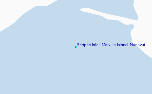
Choose Bridport Inlet, Melville Island, Nunavut Location Map Zoom:
| Contours: | Roads & Rivers: | Select a
tide station / surf break / city |
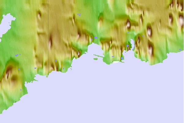
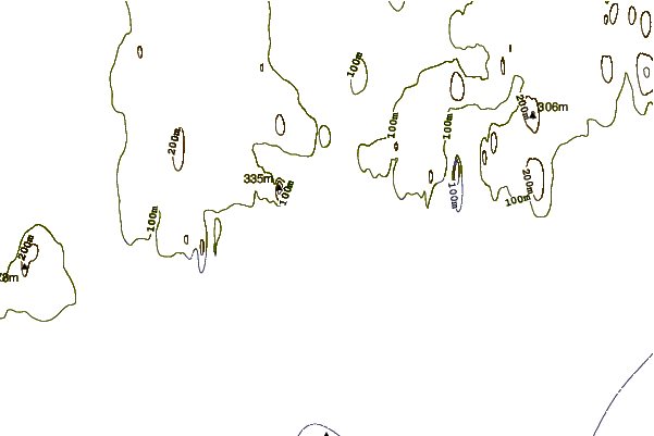
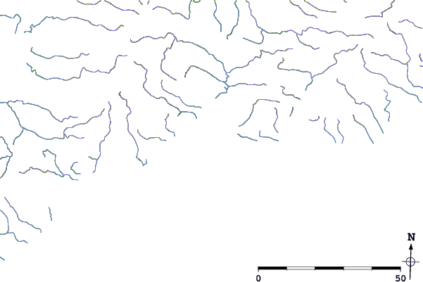
Use this relief map to navigate to tide stations, surf breaks and cities that are in the area of Bridport Inlet, Melville Island, Nunavut.
Other Nearby Locations' tide tables and tide charts to Bridport Inlet, Melville Island, Nunavut:
click location name for more details
 Surf breaks close to Bridport Inlet, Melville Island, Nunavut:
|
||
|---|---|---|
| Closest surf break | Graveyards | 1316 mi |
| Second closest surf break | Ocean Cape | 1318 mi |
| Third closest surf break | Cannon Beach | 1319 mi |
| Fourth closest surf break | Bird Point (Tidal Bore) | 1429 mi |
| Fifth closest surf break | Tow Hill Beach | 1571 mi |

 Nearest
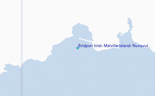