
| Distance / Altitude | Location | Report Date / Time | Live Weather | Wind | Gusts | Temp. | Visibility | Cloud |
|---|---|---|---|---|---|---|---|---|
| 14 km N / 1 m | Manningtree wx (United Kingdom) | 2024-04-18 08:06 local (2024/04/18 07:06 GMT) | dry | light winds from the N (14 km/h at 0) | 7°C | - | - - 0 | |
| 28 km ENE / 3 m | Felixstowe Waverider (Marine) | 2024-04-18 08:00 local (2024/04/18 07:00 GMT) | - (- km/h at -) | — | - | |||
| 29 km NE / 2 m | Kirton wx (United Kingdom) | 2024-04-18 08:49 local (2024/04/18 07:49 GMT) | dry | light winds from the NNW (6 km/h at 331) | 7°C | - | - - 0 | |
| 29 km NNE / 34 m | Ipswich (United Kingdom) | 2024-04-18 08:02 local (2024/04/18 07:02 GMT) | dry | calm (3 km/h at 297) | 7°C | - | - - 0 | |
| 33 km WNW / 40 m | Bulmer (United Kingdom) | 2024-04-18 08:15 local (2024/04/18 07:15 GMT) | dry | calm (2 km/h at 311) | 8°C | - | - - 0 |
| Contours: | Roads & Rivers: | Select a
tide station / surf break / city |
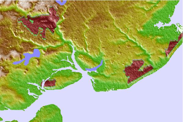
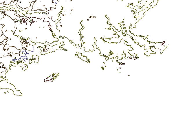
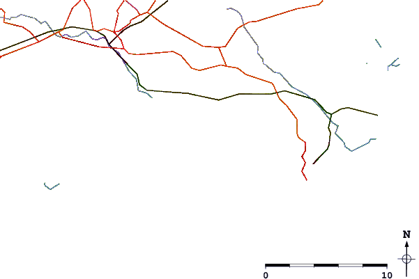
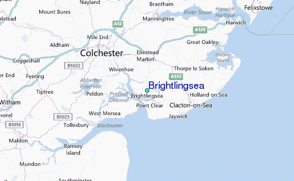
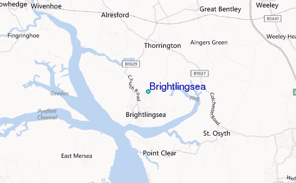
Use this relief map to navigate to tide stations, surf breaks and cities that are in the area of Brightlingsea.
Other Nearby Locations' tide tables and tide charts to Brightlingsea:
click location name for more details
 Surf breaks close to Brightlingsea:
|
||
|---|---|---|
| Closest surf break | Walton-On-The-Naze | 12 mi |
| Second closest surf break | Joss Bay | 34 mi |
| Third closest surf break | Broadstairs | 37 mi |
| Fourth closest surf break | Ramsgate | 38 mi |
| Fifth closest surf break | Ramsgate (The Wall) | 38 mi |

 Nearest
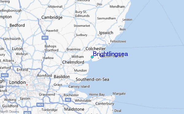