
| Distance / Altitude | Location | Report Date / Time | Live Weather | Wind | Gusts | Temp. | Visibility | Cloud |
|---|---|---|---|---|---|---|---|---|
| 89 km ESE / 969 m | CaliAlfonsoBonillaAragon (Colombia) | 2024-04-19 16:00 local (2024/04/19 21:00 GMT) | Thunderstorm but no precipitation falling at station | moderate winds from the WNW (22 km/h at 300) | 23°C | 29 km | - overcast - | |
| 91 km ESE / 650 m | Cali/Alfonso Bonilla Aragón International Airport (Columbia) | 2024-04-19 17:38 local (2024/04/19 22:38 GMT) | Moderate rain | light winds from the NNE (17 km/h at 20) | 21°C | 2.0 | scattered overcast | |
| 167 km ENE / 1219 m | ArmeniaELEden (Colombia) | 2024-04-19 16:00 local (2024/04/19 21:00 GMT) | Light to moderate thunderstorm | wind obs. (14 kph from 320 degs) was rejected (- km/h at -) | 23°C | 4.0 km | - mostly cloudy - | |
| 167 km ENE / 1253 m | Armenia/Aeropuerto Internacional El Edén Airport (Columbia) | 2024-04-19 17:00 local (2024/04/19 22:00 GMT) | Moderate rain | calm (0 km/h at 0) | 19°C | 2.5 | broken scattered | |
| 178 km NE / 1224 m | Pereira/Matecaña International Airport (Columbia) | 2024-04-19 17:00 local (2024/04/19 22:00 GMT) | Light rain | light winds from the SE (13 km/h at 130) | 19°C | 3.0 | scattered overcast |
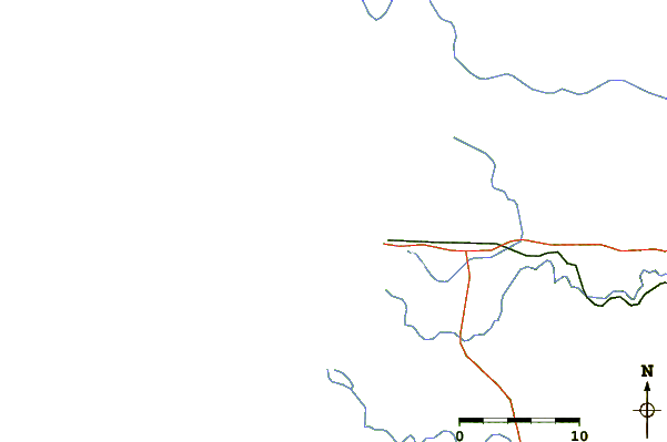
| Contours: | Roads & Rivers: | Select a
tide station / surf break / city |
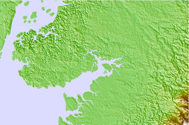
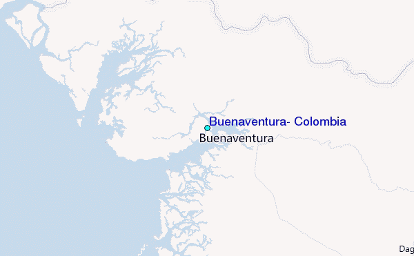
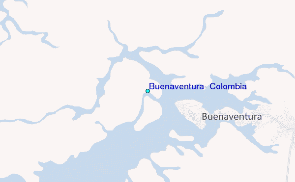
Use this relief map to navigate to tide stations, surf breaks and cities that are in the area of Buenaventura, Colombia.
Other Nearby Locations' tide tables and tide charts to Buenaventura, Colombia:
click location name for more details
 Surf breaks close to Buenaventura, Colombia:
|
||
|---|---|---|
| Closest surf break | Playa Ladrilleros | 32 mi |
| Second closest surf break | Secret Right | 114 mi |
| Third closest surf break | Pela Pela | 119 mi |
| Fourth closest surf break | Pico de Loro | 119 mi |
| Fifth closest surf break | Juan Tornillo | 121 mi |

 Nearest
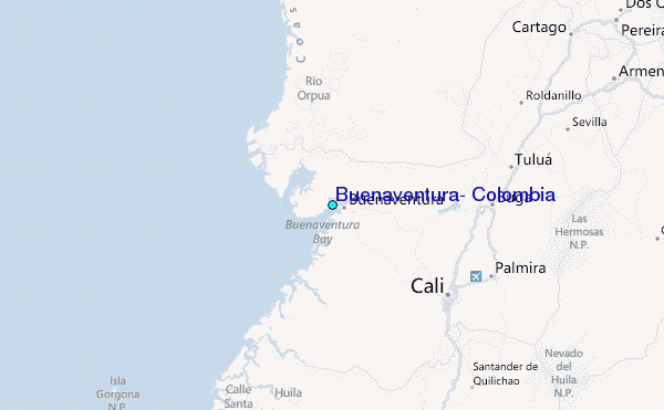