
| Distance / Altitude | Location | Report Date / Time | Live Weather | Wind | Gusts | Temp. | Visibility | Cloud |
|---|---|---|---|---|---|---|---|---|
| 72 km NW / 15 m | SHIP1570 (Marine) | 2024-04-18 06:00 local (2024/04/18 11:00 GMT) | - (- km/h at -) | — | - km | |||
| 76 km NW / 8 m | MontegoBaySangster (Jamaica) | 2024-04-18 04:00 local (2024/04/18 09:00 GMT) | Light rain showers | light winds from the E (11 km/h at 80) | 25°C | 40 km | mostly cloudy | |
| 76 km NW / 193 m | Sangster/Montego Bay Airport (Jamaica) | 2024-04-18 05:00 local (2024/04/18 10:00 GMT) | - | light winds from the E (19 km/h at 100) | 26°C | 10.0 | few | |
| 87 km E / 191 m | Kingston/Norman Manley International Airport (Jamaica) | 2024-04-18 05:00 local (2024/04/18 10:00 GMT) | Haze | light winds from the ENE (13 km/h at 60) | 27°C | 42 km | scattered few - | |
| 94 km WNW / 30 m | Negril (Jamaica) | 2024-04-18 05:40 local (2024/04/18 10:40 GMT) | dry | calm (2 km/h at 109) | 25°C | - | - - 0 |
| Contours: | Roads & Rivers: | Select a
tide station / surf break / city |
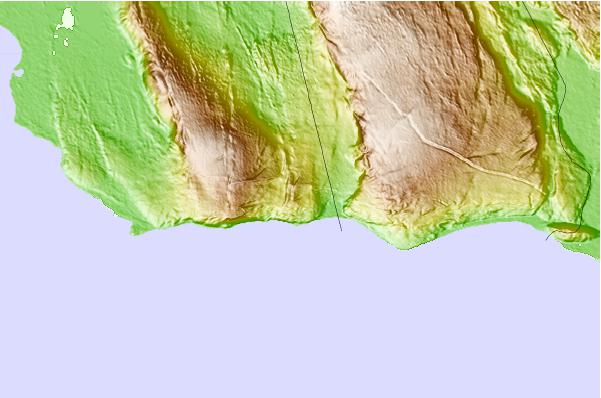
Use this relief map to navigate to tide stations, surf breaks and cities that are in the area of Bull Savanna.
Other Nearby Locations' tide tables and tide charts to Bull Savanna:
click location name for more details
 Surf breaks close to Bull Savanna:
|
||
|---|---|---|
| Closest surf break | Discovery Bay | 42 mi |
| Second closest surf break | Runaway Bay | 44 mi |
| Third closest surf break | Lighthouse 2 | 54 mi |
| Fourth closest surf break | Zoo (Bull Bay) | 58 mi |
| Fifth closest surf break | Copa (Bull Bay) | 60 mi |

 Nearest