
| Distance / Altitude | Location | Report Date / Time | Live Weather | Wind | Gusts | Temp. | Visibility | Cloud |
|---|---|---|---|---|---|---|---|---|
| 22 km ESE / 395 m | Eglinton/Londonderry Airport (United Kingdom) | 2024-04-25 19:20 local (2024/04/25 18:20 GMT) | - | moderate winds from the NNE (26 km/h at 20) | 10°C | 10.0 | few | |
| 26 km NNE / 25 m | Malin Head (Ireland) | 2024-04-25 19:00 local (2024/04/25 18:00 GMT) | no report | moderate winds from the NNE (25 km/h at 20) | 9°C | 40 | - | |
| 26 km NNE / 25 m | Malin Head (Ireland) | 2024-04-25 20:00 local (2024/04/25 19:00 GMT) | clouds dissolving | moderate winds from the NNE (25 km/h at 20) | 8°C | 45 km | - no observation - | |
| 32 km E / 4 m | Magilligan Number 2 (United Kingdom) | 2024-04-25 20:00 local (2024/04/25 19:00 GMT) | - | moderate winds from the NNE (20 km/h at 20) | 8°C | 40 km | clear | |
| 32 km E / 4 m | Magilligan Point (United Kingdom) | 2024-04-25 18:53 local (2024/04/25 17:53 GMT) | no report | moderate winds from the NNE (20 km/h at 20) | 9°C | 40 | - |
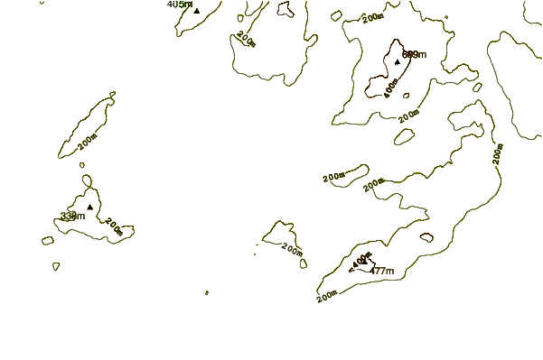
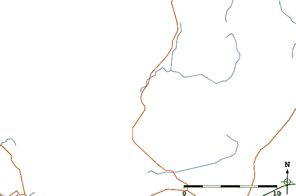
| Contours: | Roads & Rivers: | Select a
tide station / surf break / city |
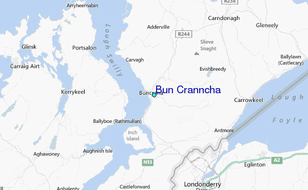
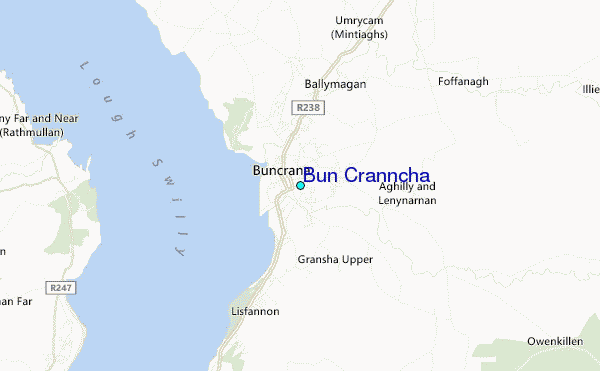
Use this relief map to navigate to tide stations, surf breaks and cities that are in the area of Bun Cranncha.
Other Nearby Locations' tide tables and tide charts to Bun Cranncha:
click location name for more details
 Surf breaks close to Bun Cranncha:
|
||
|---|---|---|
| Closest surf break | Crummie's Bay | 6 mi |
| Second closest surf break | Ballymastocker | 7 mi |
| Third closest surf break | Portsalon Beach | 9 mi |
| Fourth closest surf break | Drumnacraig Beach | 9 mi |
| Fifth closest surf break | Tullagh Bay | 11 mi |

 Nearest
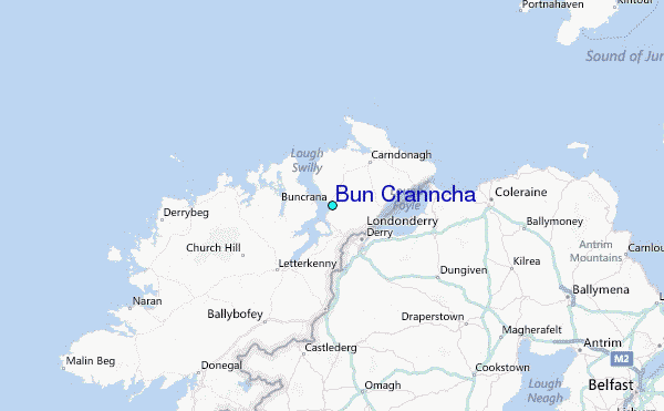