
| Distance / Altitude | Location | Report Date / Time | Live Weather | Wind | Gusts | Temp. | Visibility | Cloud |
|---|---|---|---|---|---|---|---|---|
| 0 km E / 3 m | BUOY-BDRN4 (Marine) | 2024-04-23 08:36 local (2024/04/23 12:36 GMT) | light winds from the W (8 km/h at 280) | 9°C | - | |||
| 12 km WSW / 217 m | Philadelphia/ne Airport (Pennsylvania) | 2024-04-23 07:54 local (2024/04/23 11:54 GMT) | Clear | light winds from the SW (6 km/h at 220) | 9°C | 16 | ||
| 13 km ENE / 3 m | BUOY-NBLP1 (Marine) | 2024-04-23 09:00 local (2024/04/23 13:00 GMT) | light winds from the SW (8 km/h at 220) | 11°C | - | |||
| 17 km SSE / 218 m | Mount Holly Airport (New Jersey) | 2024-04-23 07:54 local (2024/04/23 11:54 GMT) | Clear | calm (0 km/h at 0) | 9°C | 16 | ||
| 21 km SW / 3 m | BUOY-BDSP1 (Marine) | 2024-04-23 09:00 local (2024/04/23 13:00 GMT) | - (- km/h at -) | 10°C | - |
| Contours: | Roads & Rivers: | Select a
tide station / surf break / city |
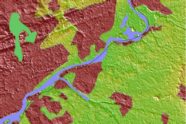
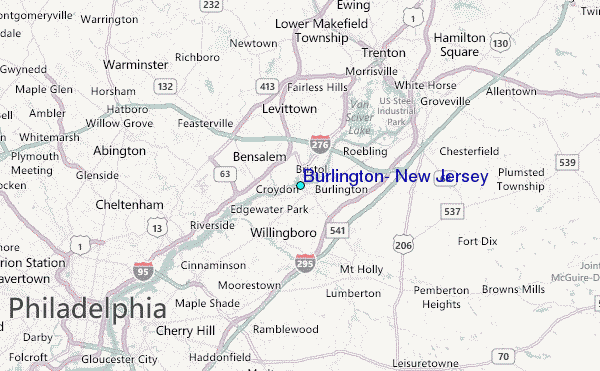
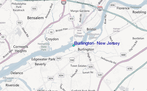
Use this relief map to navigate to tide stations, surf breaks and cities that are in the area of Burlington, New Jersey.
Other Nearby Locations' tide tables and tide charts to Burlington, New Jersey:
click location name for more details
 Surf breaks close to Burlington, New Jersey:
|
||
|---|---|---|
| Closest surf break | Brick Beach | 44 mi |
| Second closest surf break | Lavallette | 44 mi |
| Third closest surf break | Meters | 44 mi |
| Fourth closest surf break | Normandy Beach - 7th Street | 44 mi |
| Fifth closest surf break | Seacrest Drive | 44 mi |

 Nearest
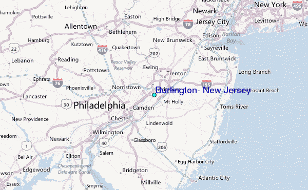