
| Distance / Altitude | Location | Report Date / Time | Live Weather | Wind | Gusts | Temp. | Visibility | Cloud |
|---|---|---|---|---|---|---|---|---|
| 107 km N / 79 m | Benin City Airport (Nigeria) | 2024-04-19 18:00 local (2024/04/19 17:00 GMT) | - | moderate winds from the W (22 km/h at 260) | 33°C | 10.0 | few | |
| 116 km NW / 78 m | BeninCity (Nigeria) | 2024-04-19 19:00 local (2024/04/19 18:00 GMT) | - | light winds from the W (11 km/h at 260) | 32°C | 30 km | mostly cloudy | |
| 165 km E / 91 m | Owerri (Nigeria) | 2024-04-19 19:00 local (2024/04/19 18:00 GMT) | - | moderate winds from the S (24 km/h at 170) | 31°C | 30 km | mostly cloudy | |
| 176 km ESE / 306 m | Port Harcourt Airport (Nigeria) | 2024-04-19 18:00 local (2024/04/19 17:00 GMT) | Dry and partly cloudy | light winds from the S (13 km/h at 170) | 33°C | 10.0 | scattered few - | |
| 187 km E / 114 m | Sam Mbakwe International Cargo Airport (Nigeria) | 2024-04-19 19:00 local (2024/04/19 18:00 GMT) | Dry and partly cloudy | moderate winds from the S (24 km/h at 170) | 31°C | 10.0 | scattered few |
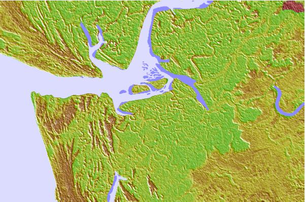
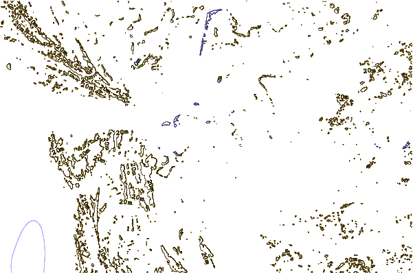
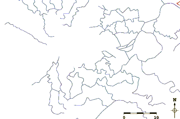
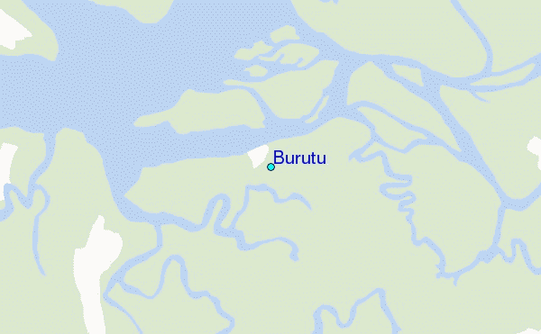
| Contours: | Roads & Rivers: | Select a
tide station / surf break / city |
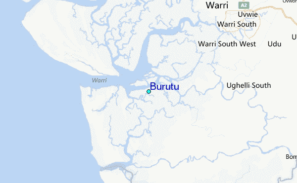
Use this relief map to navigate to tide stations, surf breaks and cities that are in the area of Burutu.
Other Nearby Locations' tide tables and tide charts to Burutu:
click location name for more details
 Surf breaks close to Burutu:
|
||
|---|---|---|
| Closest surf break | Lighthouse Beach | 163 mi |
| Second closest surf break | Tarqua Bay | 163 mi |
| Third closest surf break | Shipwreck | 179 mi |
| Fourth closest surf break | La Meduse | 223 mi |
| Fifth closest surf break | La Routes des Pêches | 229 mi |

 Nearest
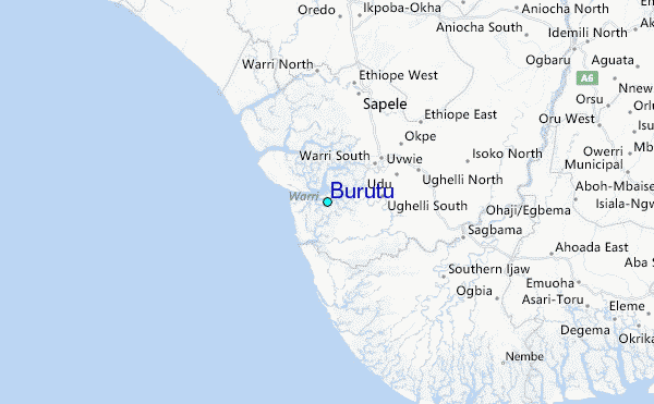