
| Distance / Altitude | Location | Report Date / Time | Live Weather | Wind | Gusts | Temp. | Visibility | Cloud |
|---|---|---|---|---|---|---|---|---|
| 21 km WSW / 3 m | BUOY-NCDV2 (Marine) | 2026-06-09 06:00 local (2026/06/09 10:00 GMT) | light winds from the SW (9 km/h at 230) | 16°C | - | |||
| 22 km E / 44 m | St. Mary's County Regional Airport (Maryland) (Maryland) | 2026-06-09 05:35 local (2026/06/09 09:35 GMT) | Clear | calm (0 km/h at 0) | 13°C | 16 | ||
| 29 km SE / 3 m | BUOY-PPTM2 (Marine) | 2026-06-09 06:00 local (2026/06/09 10:00 GMT) | light winds from the SSW (9 km/h at 200) | — | - | |||
| 31 km E / 3 m | BUOY-SLIM2 (Marine) | 2026-06-09 06:00 local (2026/06/09 10:00 GMT) | light winds from the SSW (9 km/h at 210) | 17°C | - | |||
| 35 km E / 218 m | Patuxent River Airport (Maryland) | 2026-06-09 04:52 local (2026/06/09 08:52 GMT) | Clear | light winds from the SW (9 km/h at 220) | 13°C | 16 | ||
| 37 km ESE / 218 m | St. Inigoes- Webster Field (MD) Airport (United States) | 2026-06-09 04:53 local (2026/06/09 08:53 GMT) | Clear | calm (0 km/h at 0) | 13°C | 16 | ||
| 38 km ENE / 3 m | BUOY-COVM2 (Marine) | 2026-06-09 06:00 local (2026/06/09 10:00 GMT) | light winds from the SE (13 km/h at 130) | 18°C | - | |||
| 43 km SE / 3 m | BUOY-LWTV2 (Marine) | 2026-06-09 06:00 local (2026/06/09 10:00 GMT) | light winds from the SW (8 km/h at 230) | 16°C | - | |||
| 45 km NE / 3 m | Gooses Reef- MD (Marine) | 2026-06-09 06:24 local (2026/06/09 10:24 GMT) | light winds from the SSE (14 km/h at 150) | 16°C | - | |||
| 47 km S / 42 m | Tappahannock Airport (Virginia) | 2026-06-09 05:35 local (2026/06/09 09:35 GMT) | Clear | calm (0 km/h at 0) | 11°C | 16 |
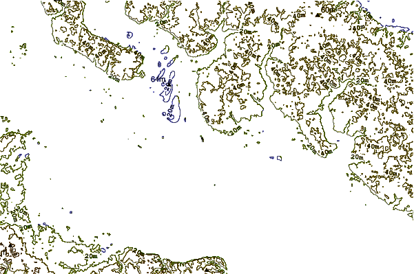
| Contours: | Roads & Rivers: | Select a
tide station / surf break / city |
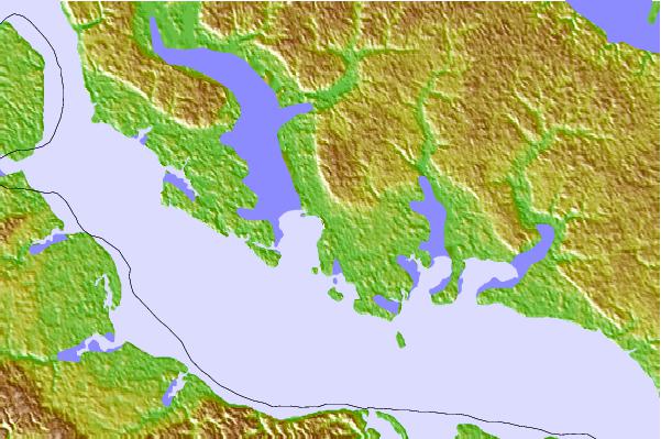
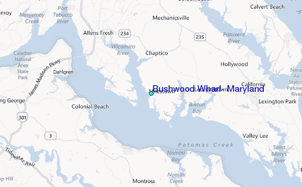
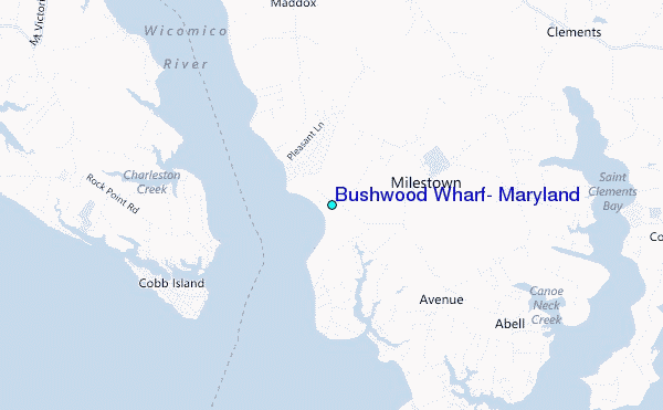
Use this relief map to navigate to tide stations, surf breaks and cities that are in the area of Bushwood Wharf, Maryland.
Other Nearby Locations' tide tables and tide charts to Bushwood Wharf, Maryland:
click location name for more details
 Surf breaks close to Bushwood Wharf, Maryland:
|
||
|---|---|---|
| Closest surf break | Out Front | 84 mi |
| Second closest surf break | Chincoteague | 85 mi |
| Third closest surf break | Grandview | 88 mi |
| Fourth closest surf break | Assateague | 90 mi |
| Fifth closest surf break | North Assateague (The Wedge) | 92 mi |


 Nearest
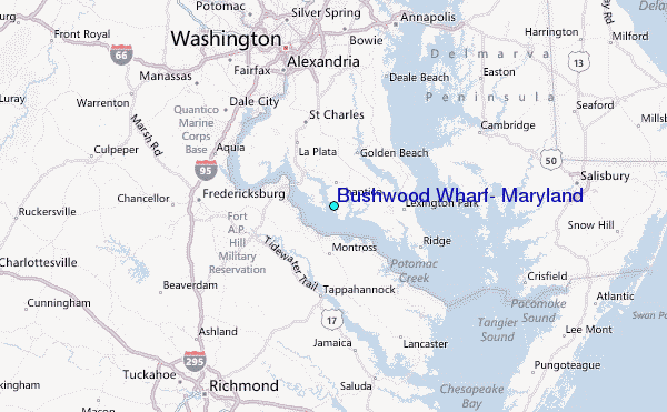