
| Distance / Altitude | Location | Report Date / Time | Live Weather | Wind | Gusts | Temp. | Visibility | Cloud |
|---|---|---|---|---|---|---|---|---|
| 32 km WNW / 12 m | Rae Point (Nunavut) | 2026-06-09 06:00 local (2026/06/09 10:00 GMT) | - | calm (4 km/h at 320) | -7°C | 0.0 | ||
| 33 km NW / 15 m | ReaPoint-NU (Canada) | 2026-06-09 07:00 local (2026/06/09 11:00 GMT) | no report | wind obs. (14 kph from 160 degs) was rejected (- km/h at -) | 0°C | - | - no observation - | |
| 153 km S / 11 m | Stefansson Island Airport (Nunavut) | 2026-06-09 06:00 local (2026/06/09 10:00 GMT) | - | light winds from the ESE (7 km/h at 120) | -1°C | 0.0 | ||
| 297 km E / 113 m | Resolute (Canada) | 2026-06-09 07:00 local (2026/06/09 11:00 GMT) | no report | wind obs. (7 kph from 270 degs) was rejected (- km/h at -) | 0°C | - | - - - | |
| 297 km E / 216 m | Resolute Airport (N.w. Territories) | 2026-06-09 06:00 local (2026/06/09 10:00 GMT) | Drizzle | light winds from the SE (6 km/h at 140) | — | 0 | ||
| 411 km W / 2 m | Mould Bay Cs- Nwt (Canada) | 2026-06-09 07:00 local (2026/06/09 11:00 GMT) | - | wind obs. (14 kph from 320 degs) was rejected (- km/h at -) | — | - | - no observation - | |
| 453 km WSW / 32 m | Aulavik National Park- Nwt (Canada) | 2026-06-09 07:00 local (2026/06/09 11:00 GMT) | - | moderate winds from the W (22 km/h at 270) | — | - | - | |
| 487 km SW / 42 m | Thomsen River- Nwt (Canada) | 2026-06-09 07:00 local (2026/06/09 11:00 GMT) | no report | wind obs. (25 kph from 260 degs) was rejected (- km/h at -) | 1°C | - | - - - | |
| 621 km ENE / 44 m | Grise Fiord Climate- NU (Canada) | 2026-06-09 07:00 local (2026/06/09 11:00 GMT) | no report | calm (4 km/h at 130) | 1°C | - | - | |
| 639 km SSW / 30 m | HolmanCs-Nwt (Canada) | 2026-06-09 06:00 local (2026/06/09 10:00 GMT) | no report | wind obs. (11 kph from 310 degs) was rejected (- km/h at -) | 4°C | - | - no observation - |
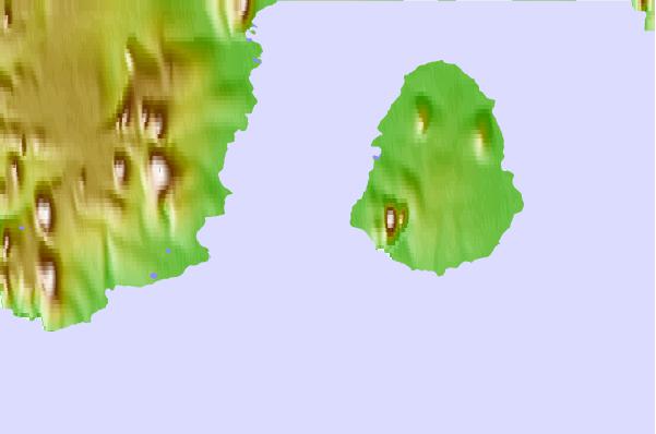
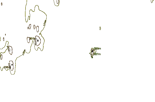
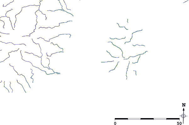
| Contours: | Roads & Rivers: | Select a
tide station / surf break / city |
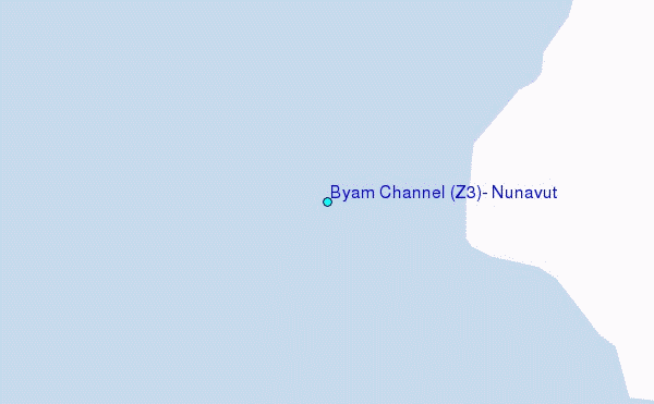
Use this relief map to navigate to tide stations, surf breaks and cities that are in the area of Byam Channel (Z3), Nunavut.
Other Nearby Locations' tide tables and tide charts to Byam Channel (Z3), Nunavut:
click location name for more details
 Surf breaks close to Byam Channel (Z3), Nunavut:
|
||
|---|---|---|
| Closest surf break | Graveyards | 1380 mi |
| Second closest surf break | Ocean Cape | 1381 mi |
| Third closest surf break | Cannon Beach | 1382 mi |
| Fourth closest surf break | Bird Point (Tidal Bore) | 1498 mi |
| Fifth closest surf break | Tow Hill Beach | 1625 mi |


 Nearest
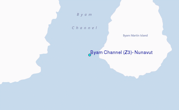