
| Distance / Altitude | Location | Report Date / Time | Live Weather | Wind | Gusts | Temp. | Visibility | Cloud |
|---|---|---|---|---|---|---|---|---|
| 73 km E / 397 m | Bissau Airport (Guinea-bissau) | 2026-06-09 08:00 local (2026/06/09 08:00 GMT) | Dry and partly cloudy | light winds from the NE.(Wind varies from 010 to 070 degs) (7 km/h at 40) | 26°C | 8.0 | no significant cloud - - | |
| 73 km E / 36 m | BissauAeroporto (Guinea-Bissau) | 2026-06-09 09:00 local (2026/06/09 09:00 GMT) | - | light winds from the N (11 km/h at 360) | 26°C | 28 km | mostly cloudy | |
| 78 km WNW / 407 m | Cape Skiring Airport (Senegal) | 2026-06-09 08:00 local (2026/06/09 08:00 GMT) | - | light winds from the NW.(Wind varies from 240 to 360 degs) (7 km/h at 320) | — | 0.0 | ||
| 79 km N / 482 m | Ziguinchor (Senegal) | 2026-06-09 08:00 local (2026/06/09 08:00 GMT) | - | light winds from the NW (11 km/h at 320) | — | 0.0 | ||
| 79 km N / 482 m | Ziguinchor Airport (Senegal) | 2026-06-09 08:00 local (2026/06/09 08:00 GMT) | - | light winds from the NW (11 km/h at 320) | — | 0.0 | ||
| 174 km NW / 162 m | Banjul/Yundum International Airport (Gambia) | 2026-06-09 08:00 local (2026/06/09 08:00 GMT) | Dry and partly cloudy | light winds from the W (7 km/h at 280) | 25°C | 9.0 | few broken | |
| 186 km NE / 10 m | Kolda Airport (Senegal) | 2026-06-09 08:00 local (2026/06/09 08:00 GMT) | Dry and partly cloudy | light winds from the E (11 km/h at 80) | 26°C | 10.0 | scattered | |
| 191 km ESE / 14 m | lightning 34km ESE of Quebo (Guinea-bissau) | 2026-06-09 08:31 local (2026/06/09 08:31 GMT) | Thunderstorm | (- km/h at -) | — | |||
| 192 km ENE / 64 m | lightning 38km ESE of Kolda (Senegal) | 2026-06-09 08:31 local (2026/06/09 08:31 GMT) | Thunderstorm | (- km/h at -) | — | |||
| 193 km ENE / 37 m | lightning 44km N of Bafatá (Guinea-Bissau) | 2026-06-09 08:05 local (2026/06/09 08:05 GMT) | Thunderstorm | (- km/h at -) | — |
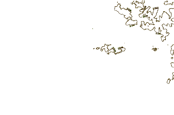
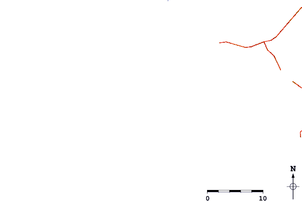
| Contours: | Roads & Rivers: | Select a
tide station / surf break / city |
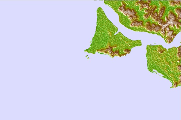
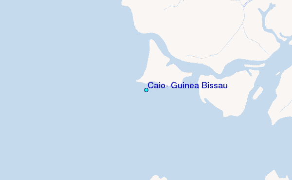
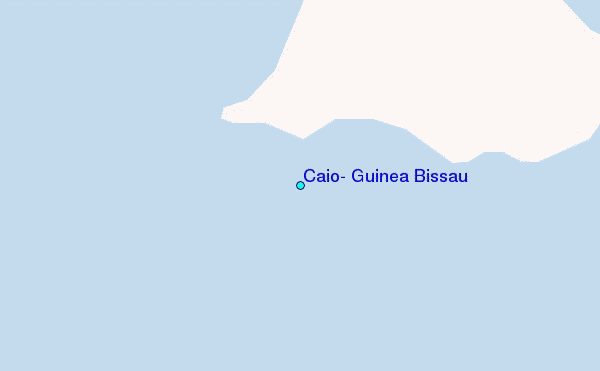
Use this relief map to navigate to tide stations, surf breaks and cities that are in the area of Caio, Guinea Bissau.
Other Nearby Locations' tide tables and tide charts to Caio, Guinea Bissau:
click location name for more details
 Surf breaks close to Caio, Guinea Bissau:
|
||
|---|---|---|
| Closest surf break | Cap Skirring | 45 mi |
| Second closest surf break | Kololi Kotu Kombo | 113 mi |
| Third closest surf break | Senegambia Beach | 115 mi |
| Fourth closest surf break | Baobab (Somone) | 190 mi |
| Fifth closest surf break | Piere de Lisse | 196 mi |


 Nearest
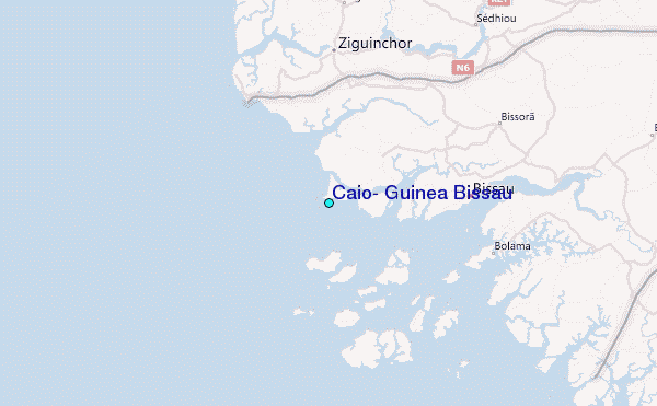