
| Distance / Altitude | Location | Report Date / Time | Live Weather | Wind | Gusts | Temp. | Visibility | Cloud |
|---|---|---|---|---|---|---|---|---|
| 118 km E / 15 m | SanFelipe-Bcn (Mexico) | 2024-04-18 13:00 local (2024/04/18 20:00 GMT) | - | light winds from the E (18 km/h at 80) | 26°C | 50 km | - mostly cloudy - | |
| 163 km S / 15 m | SHIP10099 (Marine) | 2024-04-18 14:00 local (2024/04/18 21:00 GMT) | - (- km/h at -) | — | - km | |||
| 201 km N / 825 m | Cameron Corners wx (United States) | 2024-04-18 15:19 local (2024/04/18 22:19 GMT) | dry | light winds from the W (10 km/h at 281) | 22°C | - | - - 0 | |
| 206 km NW / 363 m | Tijuana International Airport (Mexico) | 2024-04-18 14:40 local (2024/04/18 21:40 GMT) | Dry and partly cloudy | light winds from the W (7 km/h at 270) | 20°C | 16 | broken | |
| 212 km NNE / 326 m | Mexicali International Airport (Mexico) | 2024-04-18 14:41 local (2024/04/18 21:41 GMT) | Dry and partly cloudy | light winds from the S (9 km/h at 180) | 32°C | 16 | broken |

| Contours: | Roads & Rivers: | Select a
tide station / surf break / city |
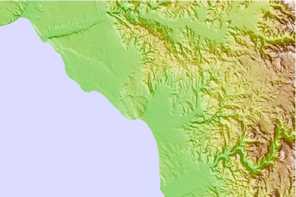
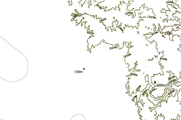
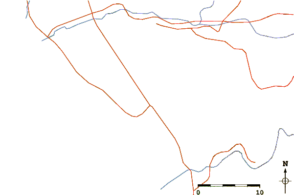
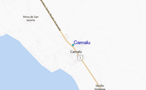
Use this relief map to navigate to tide stations, surf breaks and cities that are in the area of Camalu.
Other Nearby Locations' tide tables and tide charts to Camalu:
click location name for more details
 Surf breaks close to Camalu:
|
||
|---|---|---|
| Closest surf break | Camalu | 3 mi |
| Second closest surf break | Rincon De Baja | 3 mi |
| Third closest surf break | Punta San Jacinto (Shipwrecks) | 4 mi |
| Fourth closest surf break | Roberts Left | 4 mi |
| Fifth closest surf break | Quatro Casas | 6 mi |

 Nearest
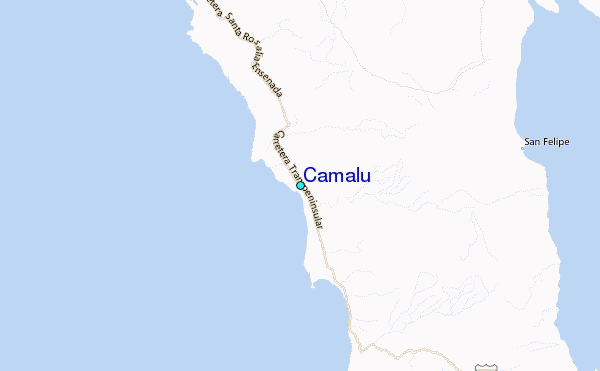