
| Distance / Altitude | Location | Report Date / Time | Live Weather | Wind | Gusts | Temp. | Visibility | Cloud |
|---|---|---|---|---|---|---|---|---|
| 135 km SSW / 189 m | Daigle Mill wx (United States) | 2024-04-18 21:06 local (2024/04/19 00:06 GMT) | dry | calm (0 km/h at 10) | 4°C | - | - - 0 | |
| 145 km SW / 716 m | Frenchville Airport (Maine) | 2024-04-18 19:53 local (2024/04/18 22:53 GMT) | Clear | light winds from the SSW (11 km/h at 210) | 12°C | 16 | ||
| 154 km SSW / 204 m | Caribou (Maine) | 2024-04-18 21:06 local (2024/04/19 00:06 GMT) | dry | calm (0 km/h at 248) | 8°C | - | - - 0 | |
| 156 km SSW / 162 m | Barretts wx (United States) | 2024-04-18 21:08 local (2024/04/19 00:08 GMT) | dry | calm (0 km/h at 153) | 9°C | - | - - 0 | |
| 161 km SSW / 217 m | Caribou Airport (Maine) | 2024-04-18 19:54 local (2024/04/18 22:54 GMT) | Clear | light winds from the WSW (7 km/h at 250) | 12°C | 16 |
| Contours: | Roads & Rivers: | Select a
tide station / surf break / city |
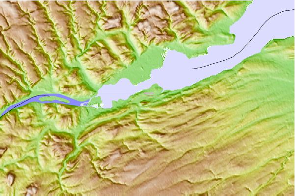
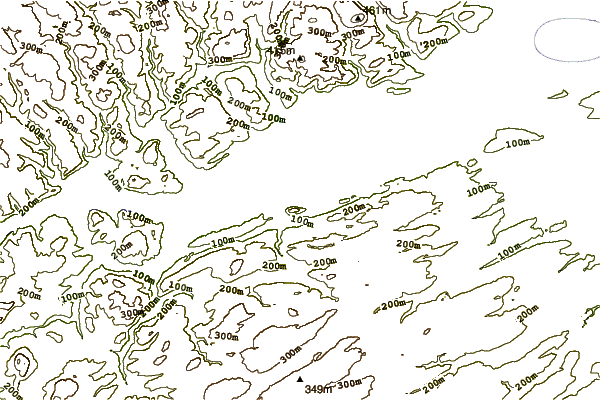
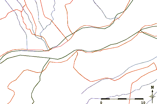
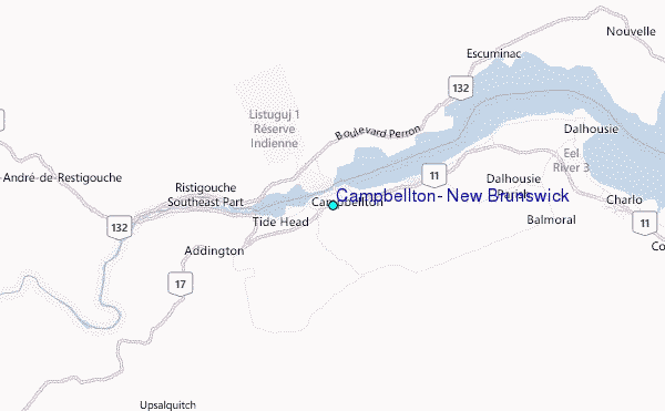
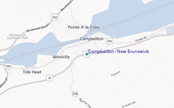
Use this relief map to navigate to tide stations, surf breaks and cities that are in the area of Campbellton, New Brunswick.
Other Nearby Locations' tide tables and tide charts to Campbellton, New Brunswick:
click location name for more details
 Surf breaks close to Campbellton, New Brunswick:
|
||
|---|---|---|
| Closest surf break | Backyards | 280 mi |
| Second closest surf break | Minutes | 280 mi |
| Third closest surf break | Moose | 280 mi |
| Fourth closest surf break | Osbourne | 280 mi |
| Fifth closest surf break | Cow Bay | 281 mi |

 Nearest
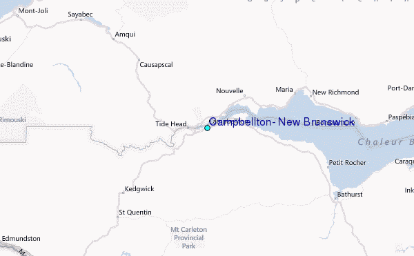